Rascunho — ainda não traduzido.
Trilha até Saxer Lücke e Fälensee a Partir de Brülisau
Saxer Lücke and Fälensee Hike
From Brülisau, Appenzell
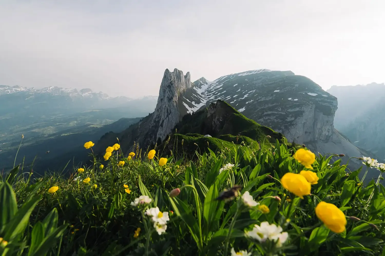
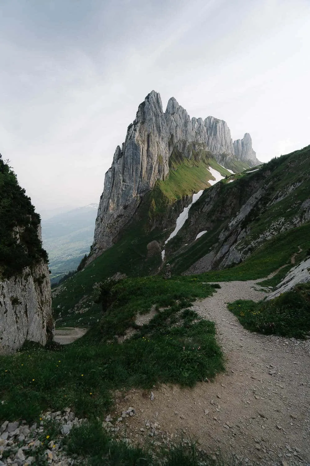
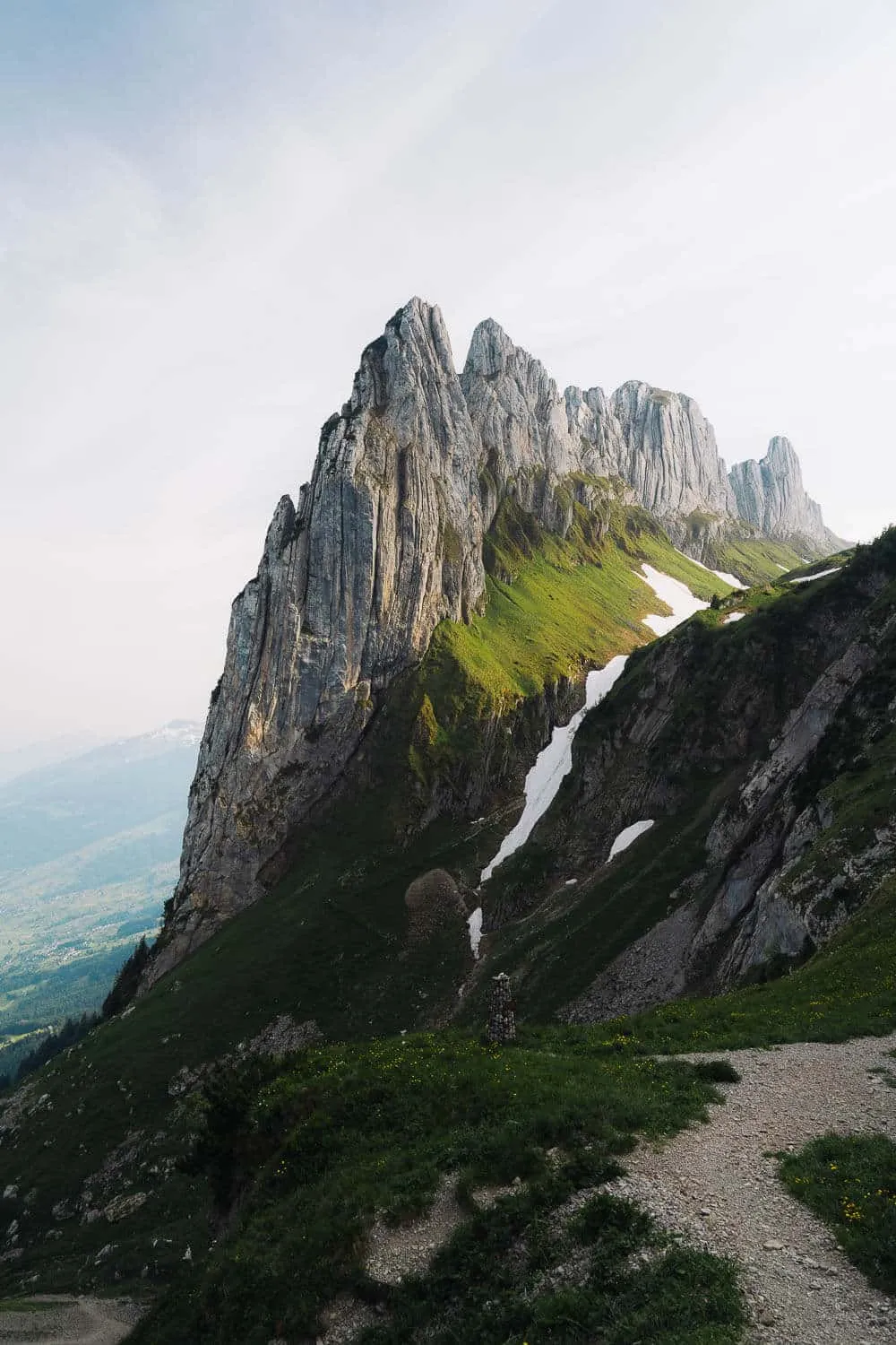
Saxer Lücke is one of the most famous hikes in Switzerland, and it’s one of the best hikes you can do if you only have time for a 1-day trip. It’s located in the canton of Appenzell Innerhoden, which, apart from amazing cheese and beer, is also famous for its extraordinary rocky landscape. The Appenzeller Alpen or Appenzell Alps is a mountain range located in the northern part of the Swiss Alps. Its highest peak is Säntis ( 2502m), and if you happen to have more than one free day, there are many other hikes that you can do and places to stay overnight, for example, the hike to the iconic Äscher Restaurant and Schäfler’s viewpoint. Directly translated from German, Saxer Lücke means the Saxon Gap, which probably refers to the Saxony region in Germany with similar rock formations like this one. Funny or not, the natural park where these rock formations in Germany are is called Saxon Switzerland, so if you know which one came first, feel free to comment below.
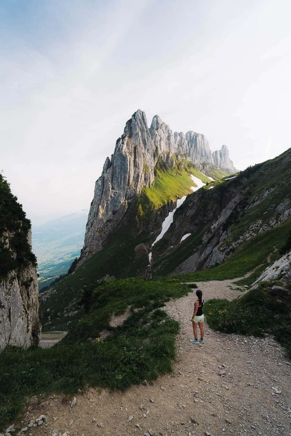
The Saxer Lücke at Sunset
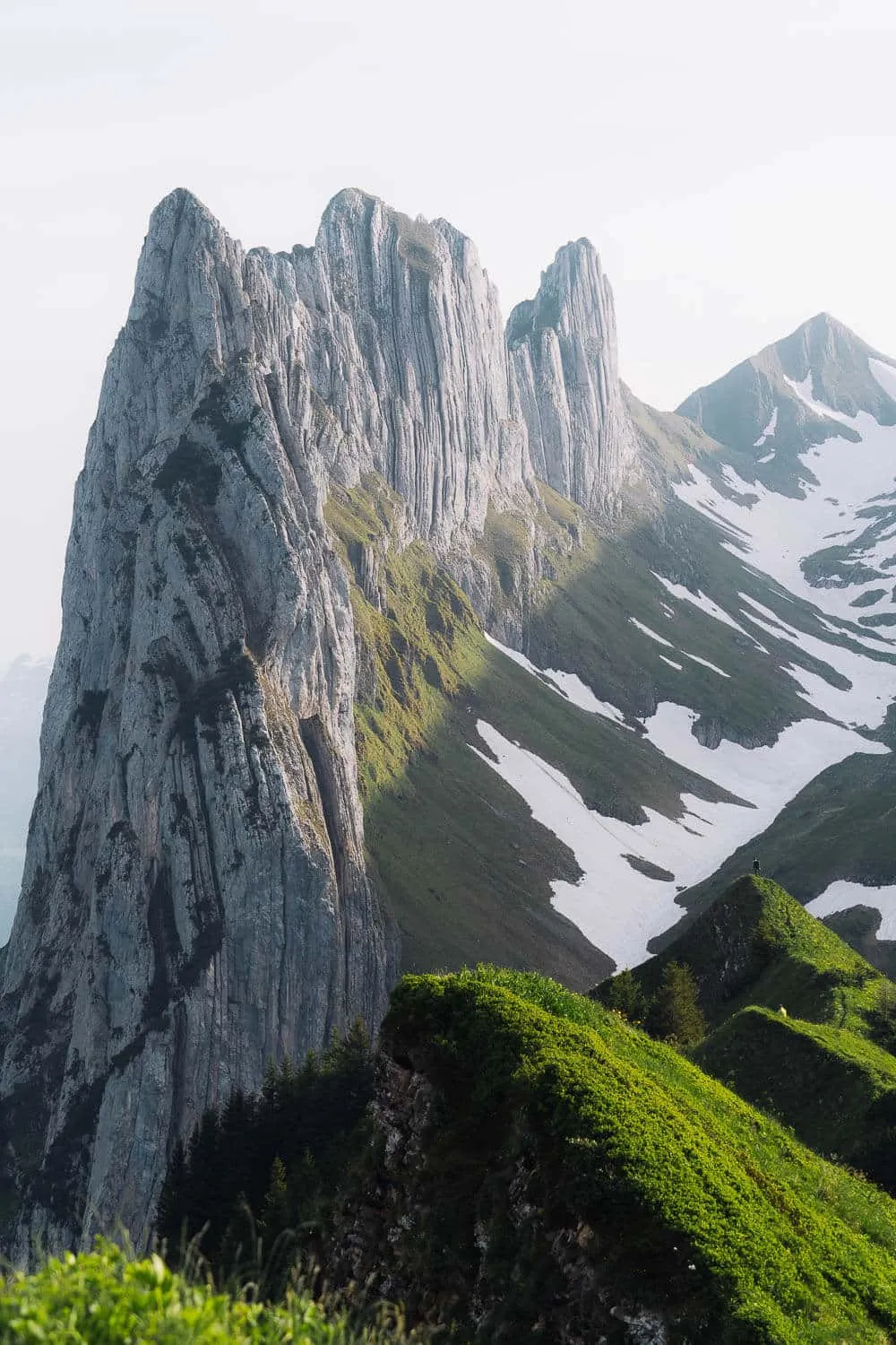
The massive Saxer Lücke
Saxer Lücke Hike: General Details
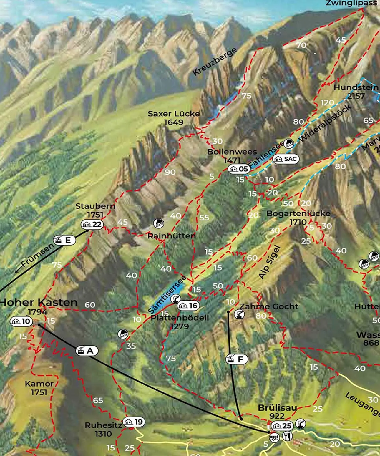
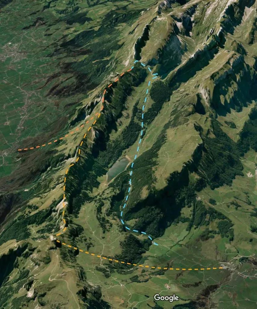
These are the two main ways to reach Saxer Lücke. Solely by foot or by cable car and foot. I avoided the cable car. Only by foot, (blue on the map) starting at the village of Brülisau and then hiking the way up until Saxer Lücke, passing through the lakes Sämtisersee and Fälensee, and then making your way back to Brülisau.
- Hike Distance: 16 km (8kms each way). If you hike a bit further up to a viewpoint for some nice photos from the ridge to the rock formation makes it around 18kms.
- Hike Duration: Just until Saxer Lücke and back to Brülisau, it’s around 6 hours (3 hours each way). If you climb up to the viewpoint, add one more hour. Totaling 7 hours of walking time. Realistically, if you take some photos, stop for lunch, and go for a swim in Fälensee counts for 9 hours.
- Hike Difficulty: Moderate. The hardest parts are at the beginning, where you have to climb around 340m in 2 km (max. 24% inclination) through the forest until you reach the Plättenbodeli Guesthouse, where the path gets majorly flat, and at the end from the lake Fälensee/Bollenwees Hut until Saxer Lücke, where you get some steepness (max. 35% inclination) around 170m difference in 1km. The path is mostly in dirt and gravel, so good shoes with some grip are recommended, especially for the inclined parts.
- Hike Incline: 750 meters (825 meters until the viewpoint)
By cable car and foot, departing from either the village of Brülisau (yellow on the map) or from Frümsen (orange on the map) starting respectively from Hoher Kasten or from Staubern (in the middle of the ridge) and then hike the Geological Panorama Trail ridge until you see Saxer Lücke (you don’t actually go down until the passage, I mean you can but it’s not a necessity)
- Hike Distance:
- 15 km (7.5 km each way) if you start at Hohen Kasten.
- 6 km (3 km each way) if you start at Staubern.
- Hike Duration:
- 6 hours total (3 hours each way) if you start at Hohen Kasten.
- 4 hours total (2 hours each way) if you start at Staubern.
- If you count with extra time for lunch and the time of the cable car rides, add one or two more hours to the count.
- Hike Difficulty:
- Moderate if you start from Hoher Kasten - I would say that 6 hours walking time and 350m inclination difference, on a slightly exposed ridge with a dirt, gravel, and rocky path, is not particularly easy.
- Easy if you start from Staubern - 4 hours walking time and just 90m inclination difference could possibly be made by a family.
- In any case, proper hiking shoes are always advisable.
- Hike Incline:
- 350 meters if you start at Hoher Kasten.
- 90 meters if you start at Staubern.
Unlimited Swiss Travel & Museums - Adventure Tours
If there’s one way to experience Switzerland, this is it! The Swiss Travel Pass gives you unlimited train, bus, and boat travel across 90+ cities, plus free entry to 500+ museums, including the FIFA World Football Museum and the Olympic Museum. No stress, no ticket lines—just effortless adventure. And if you’re craving a next-level thrill, Interlaken is where it’s at. Glide over stunning landscapes with tandem paragliding, or take the ultimate leap with a heart-pounding skydive.
How To Get to Brülisau?
You can either go by car to Brülisau or take a train:
By train: with SBB to Gossau/Herisau, then change to Weissbad, and then take a bus to Brülisau.
By car: if you go by car, you can park for 4€ a day closer to the beginning of the hike (where the blue line starts on the map) and save 2km and 30 minutes of hiking in total.
What to Bring on the Saxer Lücke Hike?
To ensure a safer and more comfortable journey in this mid-altitude mountain hike with some gravel sections, certain specific equipment is indispensable, especially if you’re staying overnight or doing it on a cold day: Essentials:
- Breathable T-shirt (Tech or Merino)
- Waterproof Jacket (Gore-Tex or H2O Technology)
- Puffer Jacket
- Shorts or Pants
- Hiking Shoes or Trekking Boots
- Backpack: 25-35 liters
- Gloves: One Layer (preferably merino wool for breathability and comfort)
- Sunglasses: Category 4 UV protection.
- Cap: Or a beanie and buff if it’s cold**.**
- Hiking Merino Socks: One Layer (preferably merino wool for breathability and comfort)
- Sunscreen: Ensure you have a minimum of SPF 50.
- Trekking Poles: For the entire hike.
- Low Gaiters: For peace of mind if there’s gravel.
- Swimming Clothes: (if you’re staying overnight or going for a swim)
- Dry-fast Towel: (if you’re staying overnight or going for a swim)
Camping and Extras:
- Cooking, Camping Tent, Sleeping Mat, Sleeping Bag
- Headlamp
- Victorinox Swiss Multi-Tool or Victorinox Hiker Knife
- Change of Clothes
Other Things:
- First-Aid Kit
- Drinks and Snacks: Bring enough of them, especially if you’re doing it in two days.
- Thermos
My Experience on the Saxer Lücke Hike
Saxer Lücke has been on my to-do list of hikes in Switzerland since I saw a photo of the place. In 2020, I was so close to it. I actually went to Fälensee lake and totally missed it because I had no idea it existed, rookie mistake. My objective on this hike was to reach Saxer Lücke at sunset and also to take a little swim in Fälensee. It was a really warm summer day, so that was a necessity. I was hiking with three other friends. The last time I was there I had no idea how long the hike would take and completely underestimated the weather conditions of the Appenzeller Alps, resulting in a massive rainfall that got us completely soaked on the way back to the parking. So this time everything was pre-planned. The challenge was, in order to take a swim in Fälensee and watch the sunset up at the viewpoint, one had to go on foot or else one would need to go down and back up and then down again because sunsets in Summer are quite late and the cable car back to Brülisau would already be closed. That would be a solution, but the idea to go by cable car was just too lazy for a nice Summer day, and like this, we could spare our knees from one steep way down.
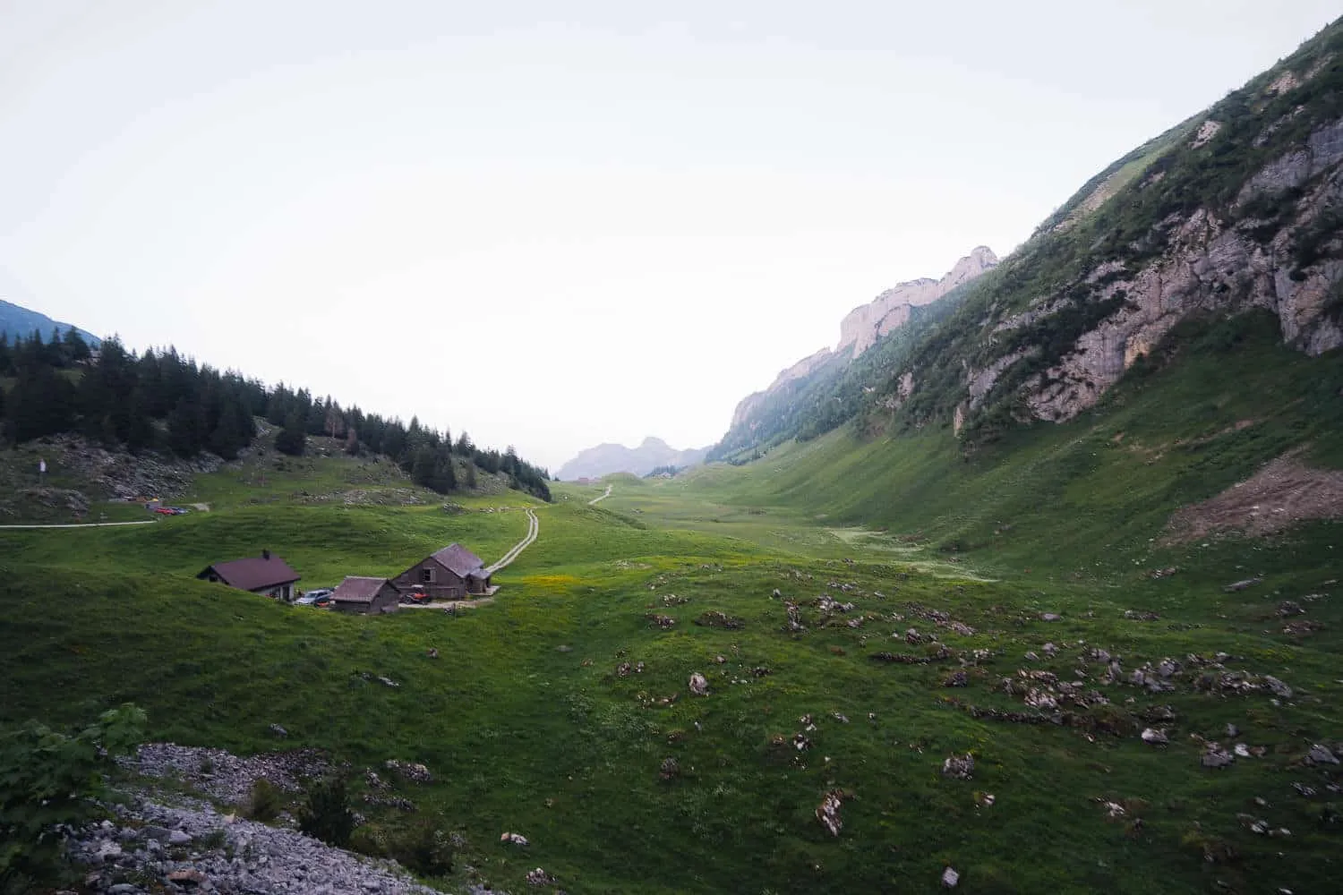
From Brülisau to Plattenbödeli Guesthouse
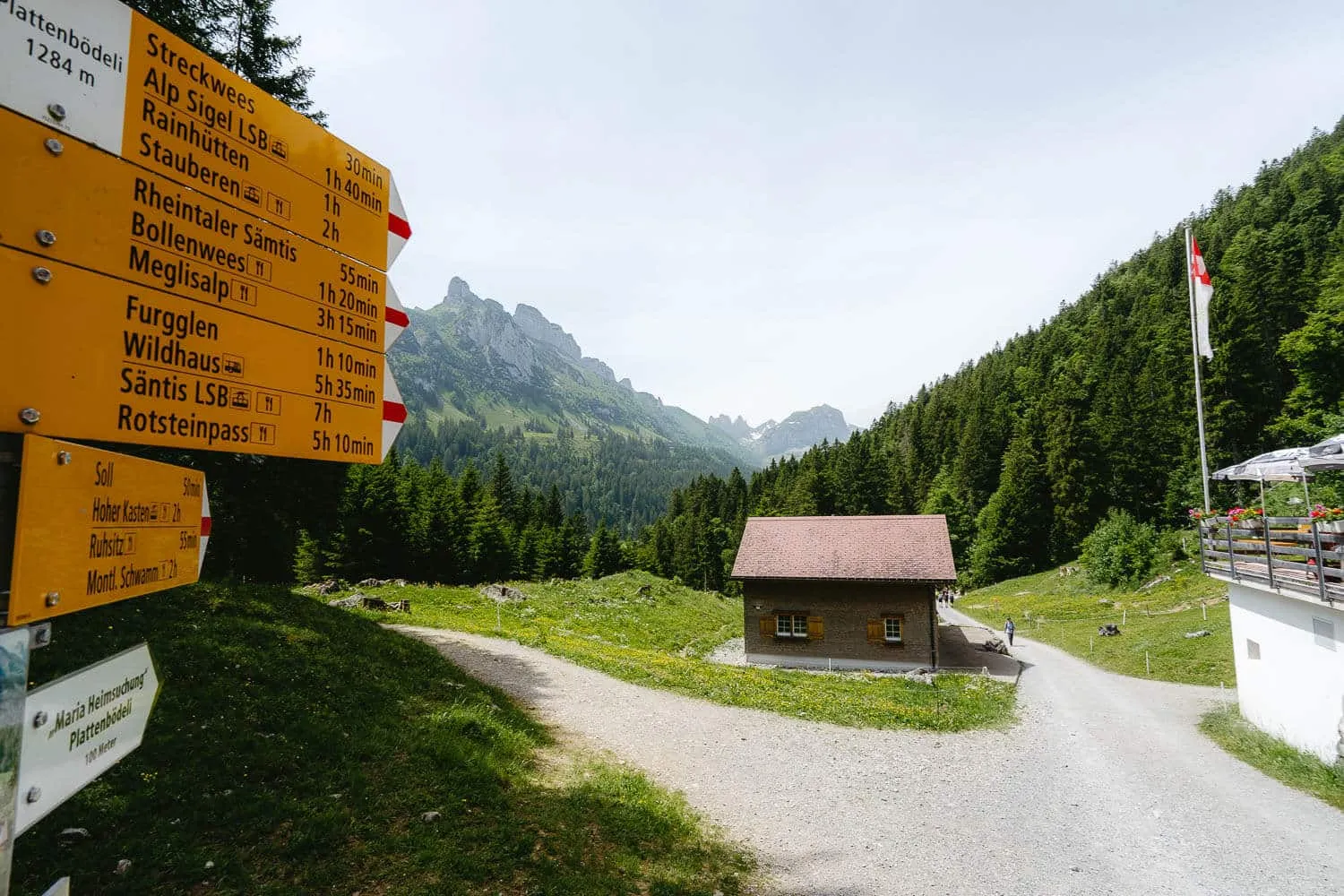
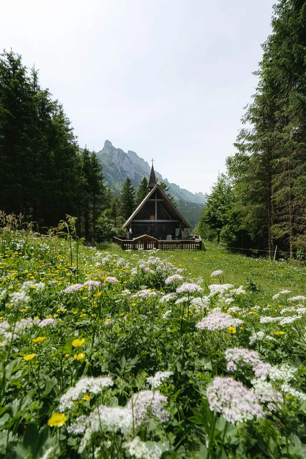
We decided to go by car on this hike since, firstly, it was available, so we could save on the public transport tickets, and secondly, we could spare 2 km of the asphalt path from the center of Brülisau to the parking where we parked right before the start of the hike. The first checkpoint of this hike is the Plättenbodeli Guesthouse, to reach it, one has to climb around 340m in 2kms which is quite strenuous to start with. The path itself is made of dirt and stones and is always covered by trees, which is quite nice to cover you from the sun on the way up. On the right side, there’s also a small stream passing by. Once you reach the Plattenbödeli Guesthouse, you can either have a warm meal and a drink or book an overnight stay there and make it a weekend trip. On the left side of the Guesthouse, you will find an 80m path that leads you directly to a small but beautiful wooden chapel called Kapelle Maria Heimsuchung (Chapel of the visitation of Mary).
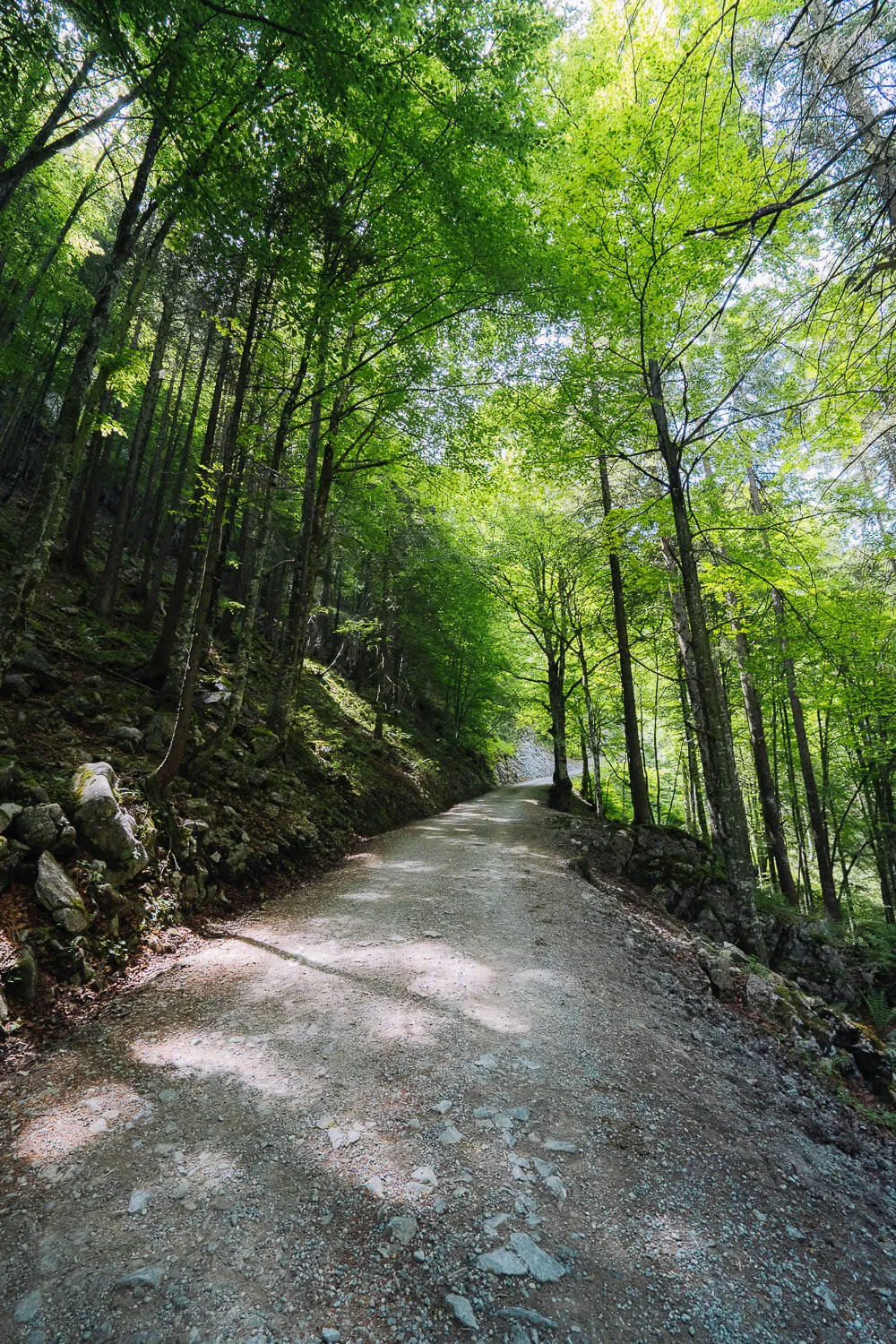
The forest at the beginning of the Saxer Lücke hike
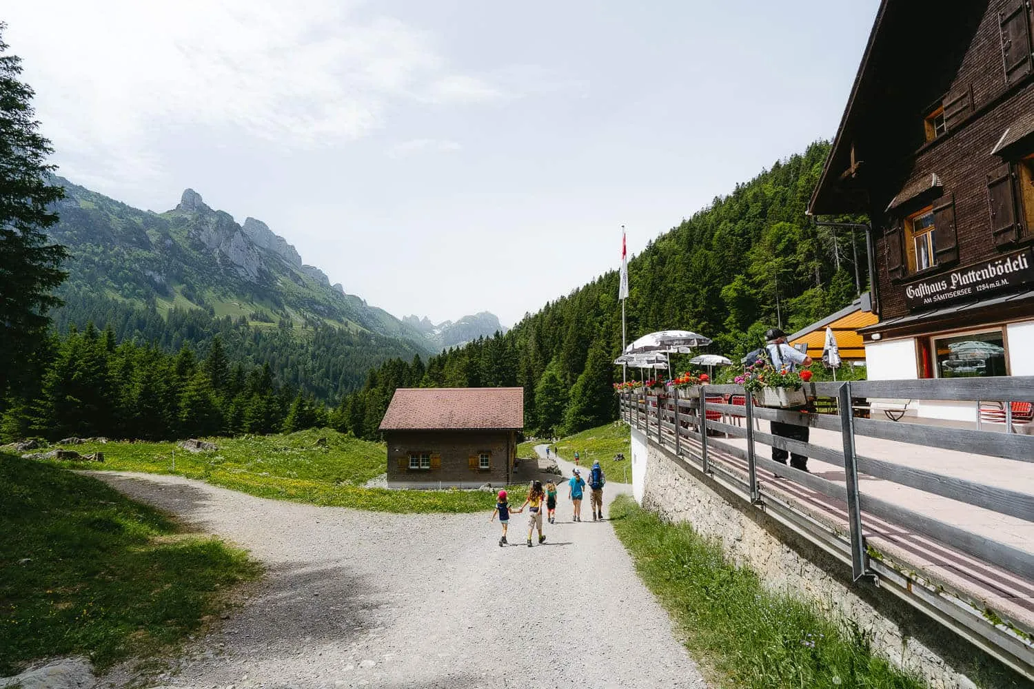
The Plattenbödeli Guesthouse
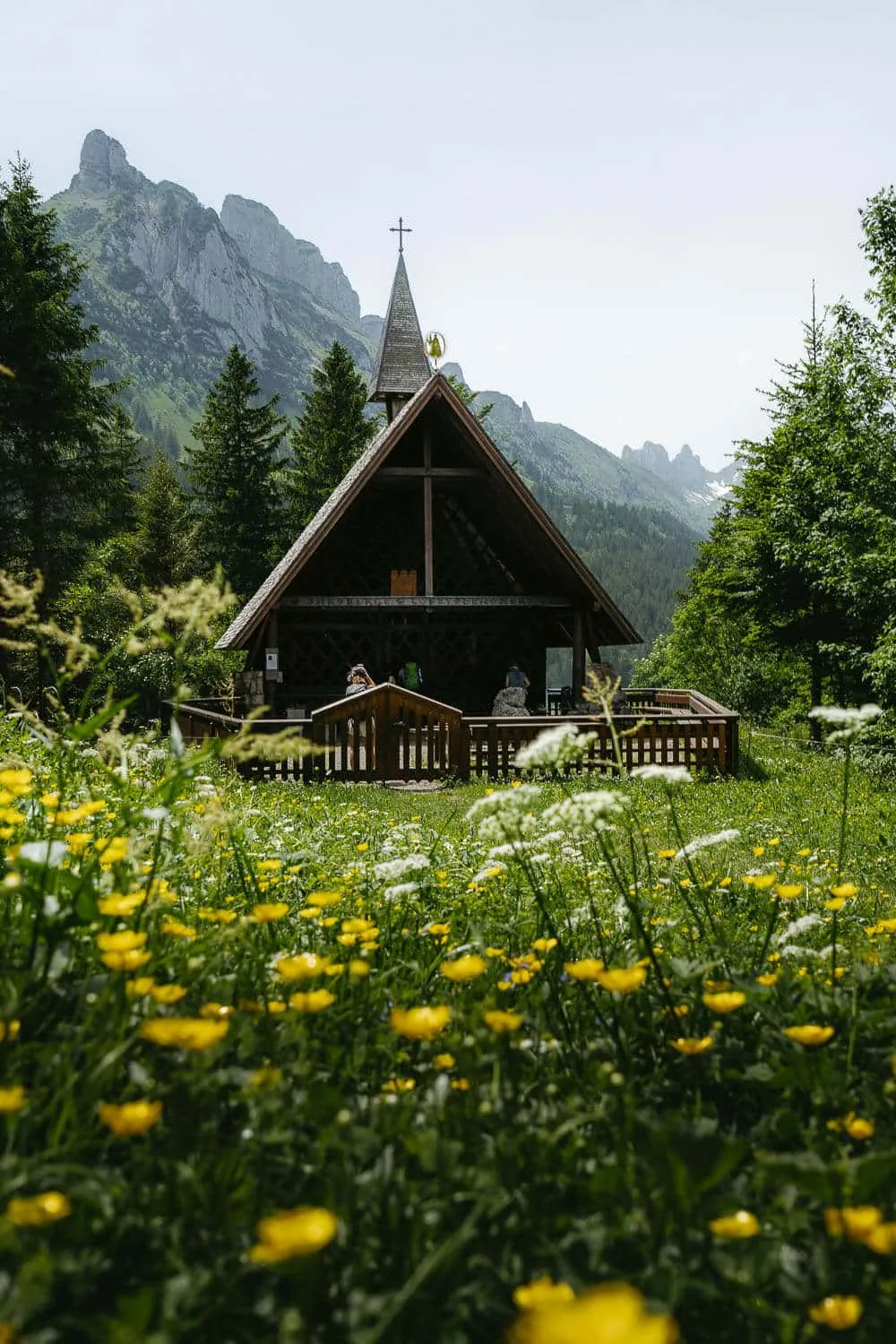
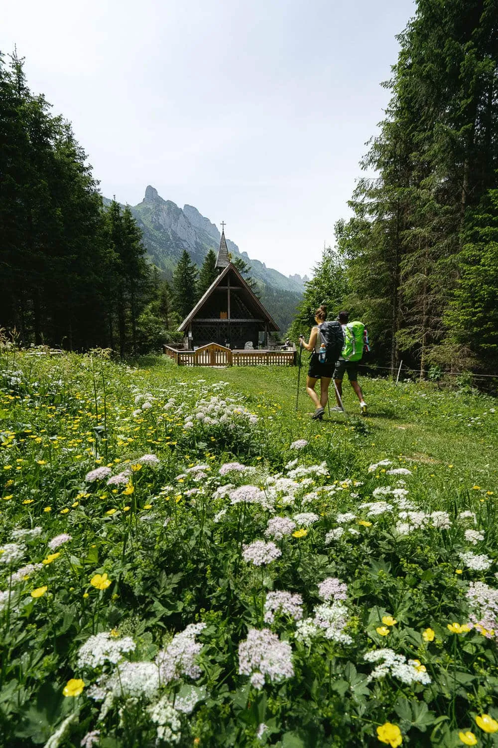
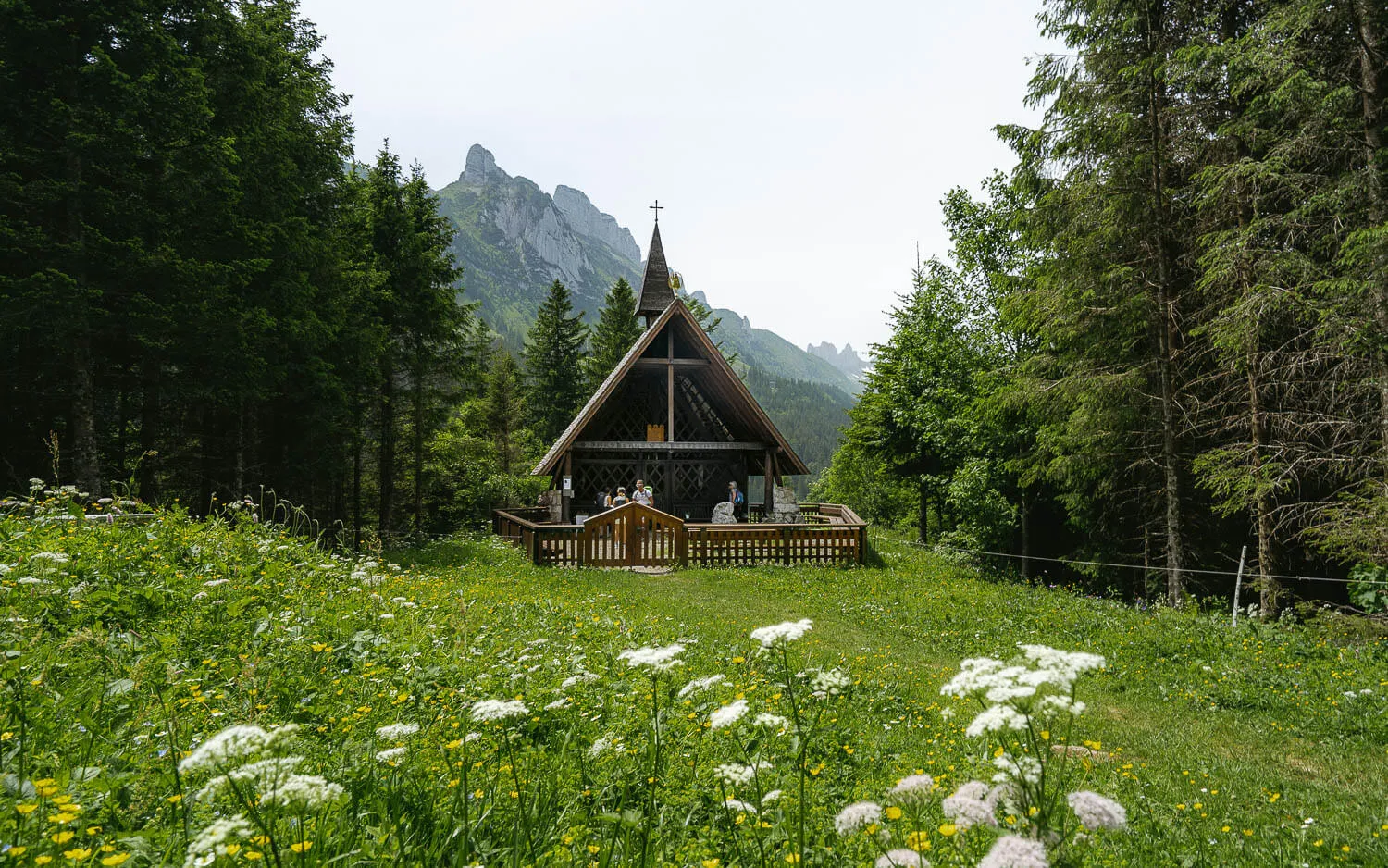
The Chapel of Maria Heimsuchung
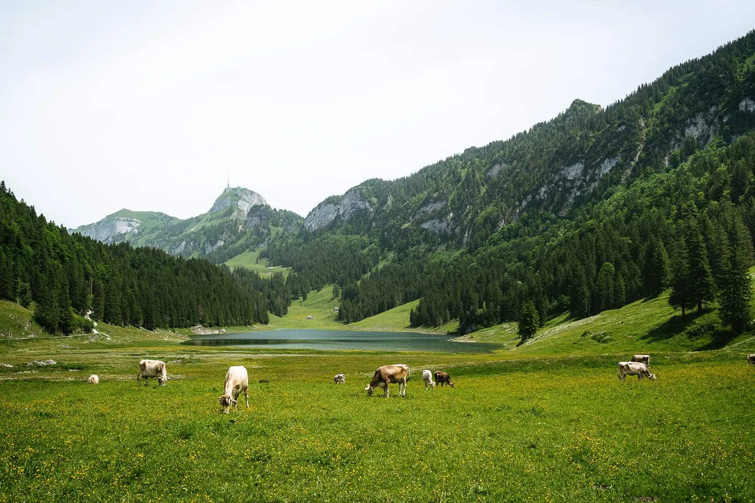
Sämtisersee lake with Swiss Cows
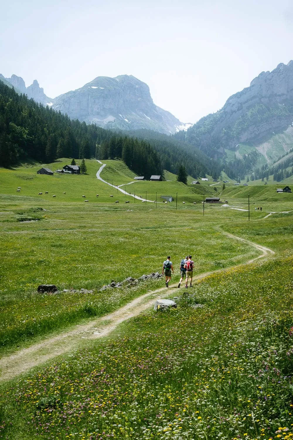
Hikers right after the Sämtisersee
From Sämtisersee to Fälensee
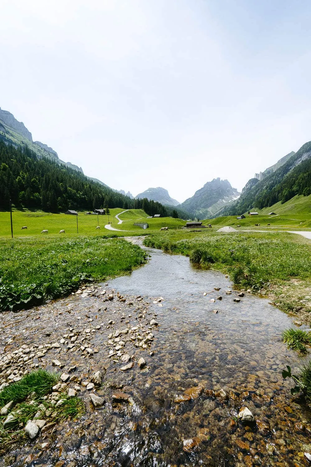
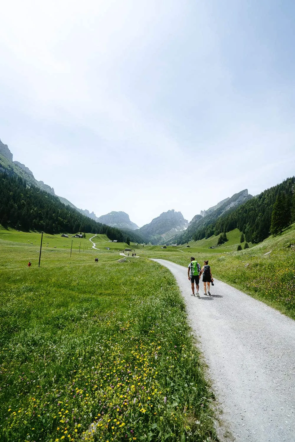
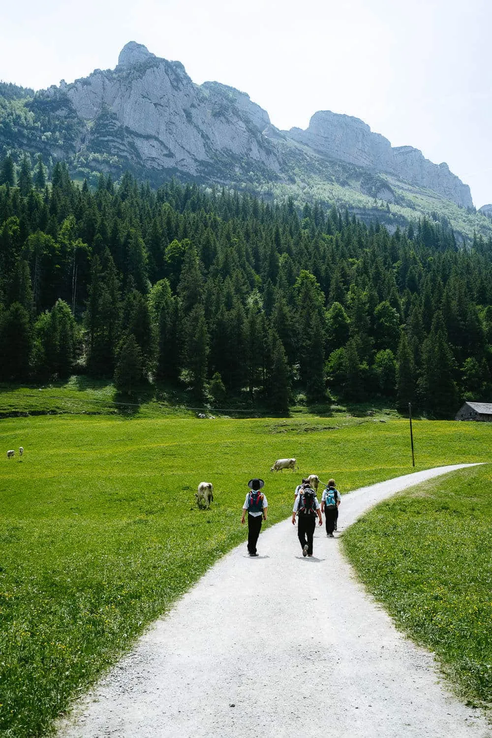
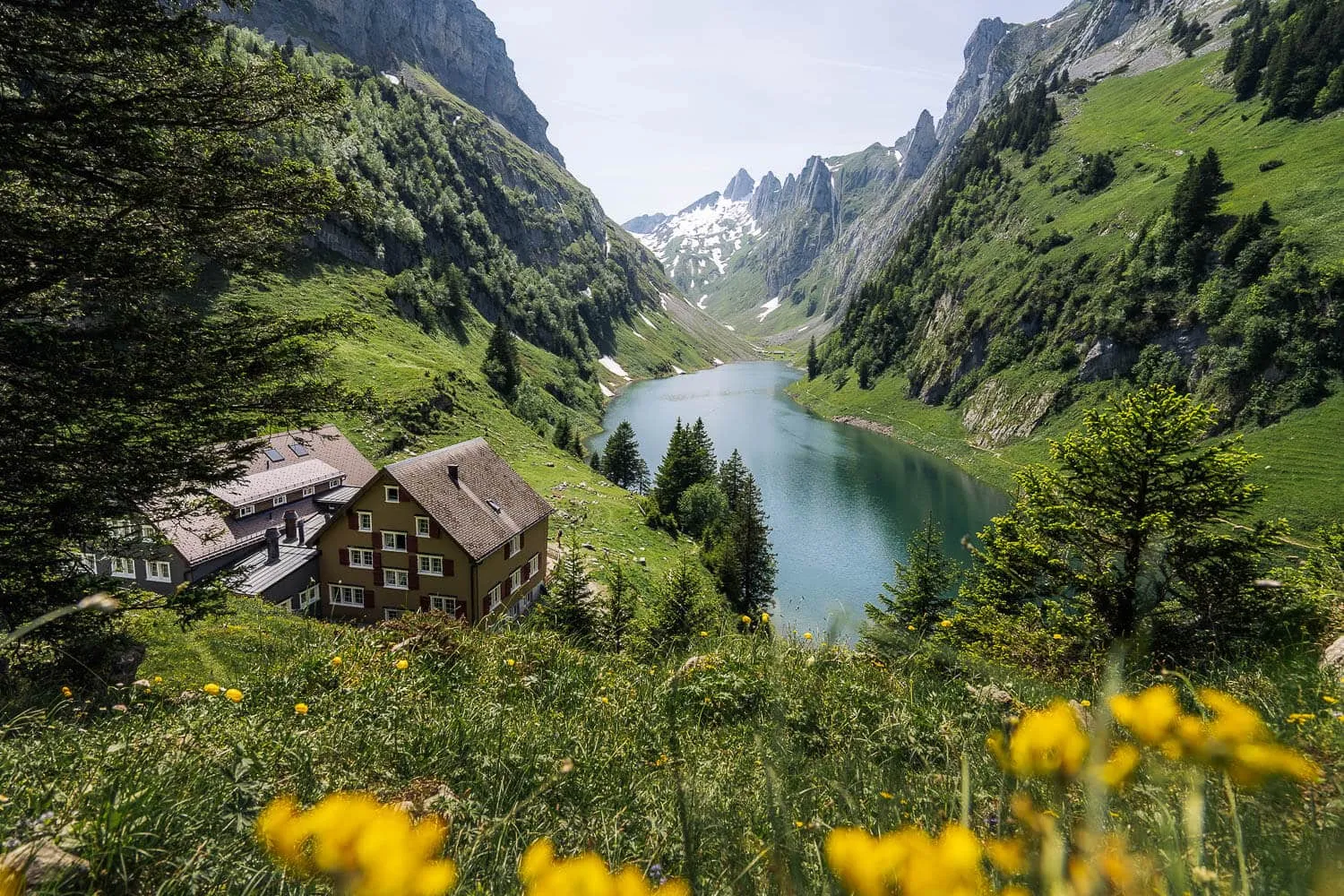
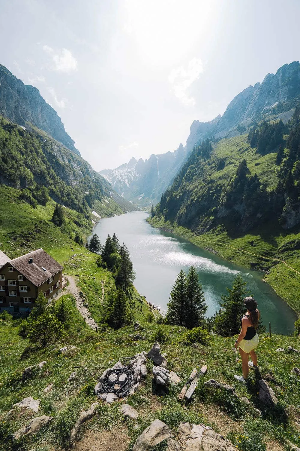
If instead of going left to the chapel you go forward you will find at your left the Sämtisersee lake. If you’re lucky you will see the local cows around it, both the times I passed there I could spot them. After Sämtisersee, you have around 3.8 km until you reach the Bollenwees Guesthouse, which is right by the Fälensee lake. On the way to the Fälensee, there is a bifurcation where you must turn left and go straight through the forest (on the photo on the left). When you reach the Bollenwees hut, as in the previous guesthouse, you can overnight here, and if the weather allows, watch the sunset over the lake and the Appenzeller starry night. If you continue past the hut, you can ultimately make it to the Seealpsee (in around 3 hours, 5.6 km, and 650m altitude difference), the lake that you pass on the way to the Äscher Restaurant and Schäfler Guesthouse. Once at Fälensee, we had lunch and went for a swim. 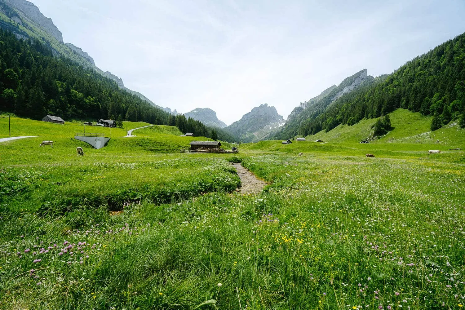
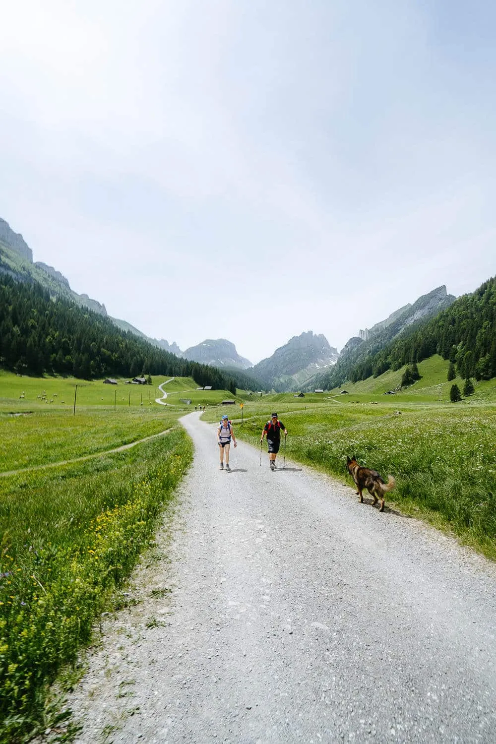
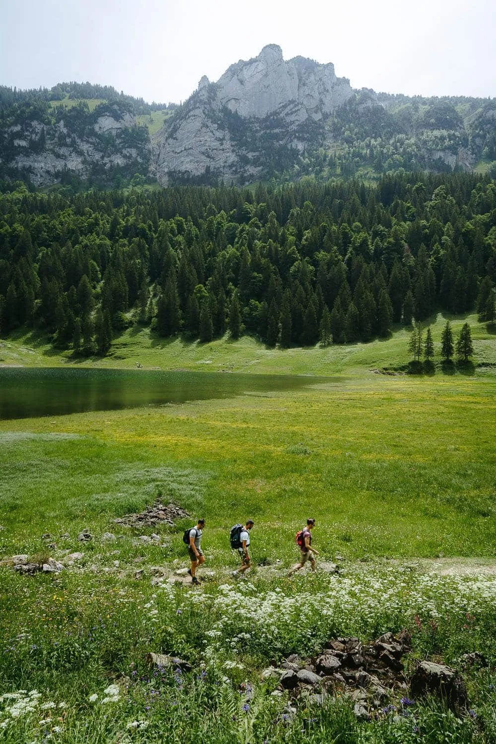
From Fälensee to Saxer Lücke
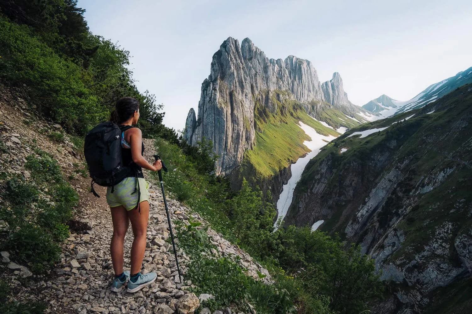
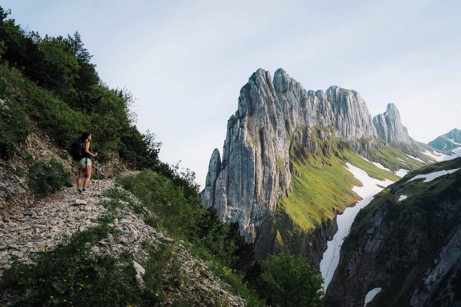
A little insider tip, instead of spending your bucks at the Bollenwees Guesthouse, you can bring your own grill from home (or a compact one from Coop like we did), get some sausages, cheese, and vegetables, and have a grill with this amazing view of the lake. There is a specific place for you to grill, basically, before you reach the hut, there is a small path up the hill on the right,t and after a minute or so you’ll find some burned charcoal on the floor and a bench, there you can lay your grill and enjoy the view. If you can’t find the path, ask someone at the hut, they will gladly give you a hand finding it. After having lunch, we went down to the lake and got a well-deserved dive in that beautiful alpine lake. It was, well, coldish, but still doable and pleasant after a while. Totally advisable, go for it! We decided then to pack our stuff and start making our way to Saxer Lücke. It’s a steep climb, but doable. For this hike, I highly advise you to bring trekking/hiking shoes, sticks, and a headlamp. If you are with sneakers or normal shoes you’re probably gonna slip multiple times on the loose rocks and gravel. Especially on the way down and after the sunset with no light or just your flashlight it’s quite unpleasant to end up a great hiking day like that. Also, pay attention that the headlamp will only be half usable, at least when we went in Summer, there were so many mosquitoes attacking our lights that we had to turn them off frequently.
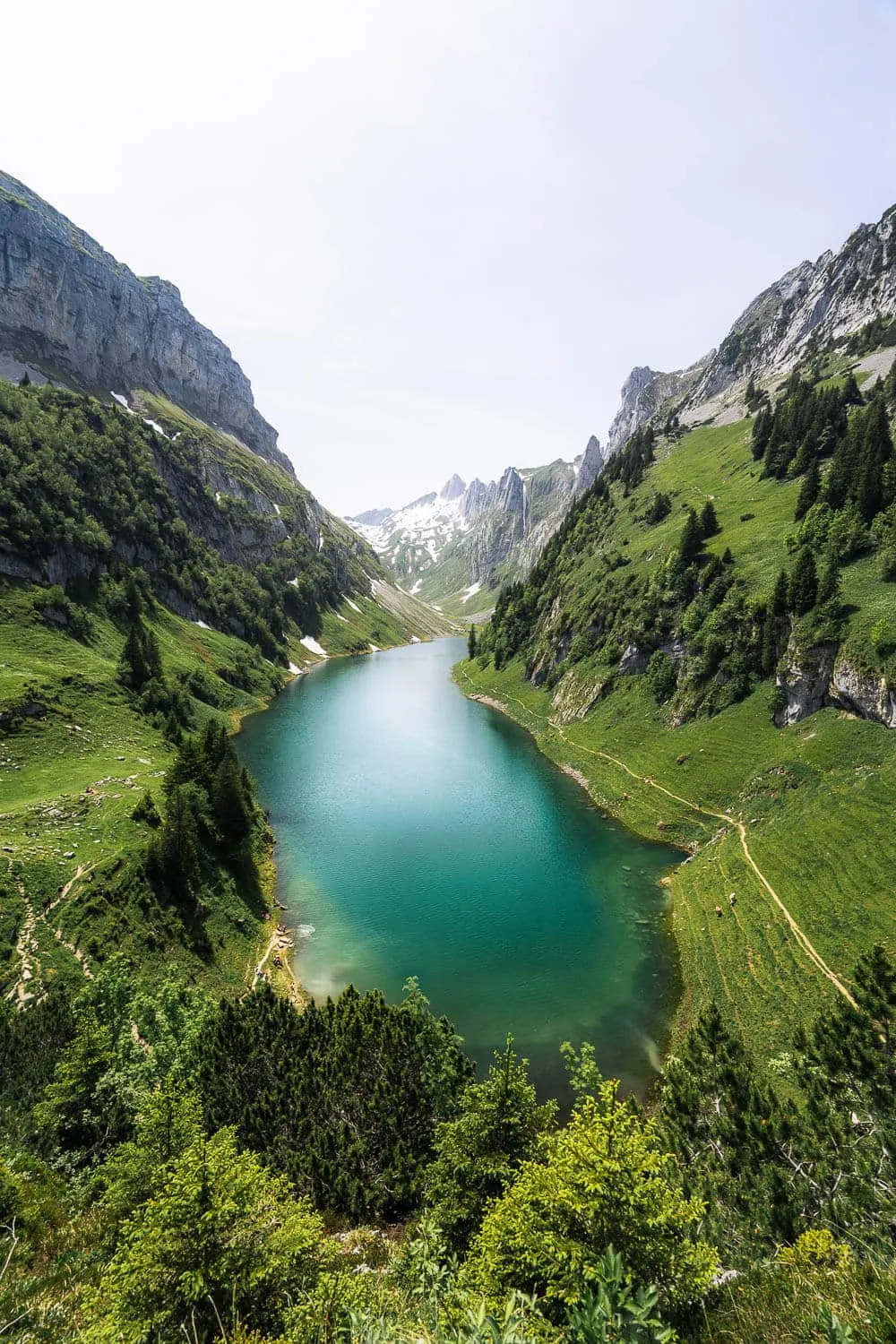
Fälensee Lake in Summer
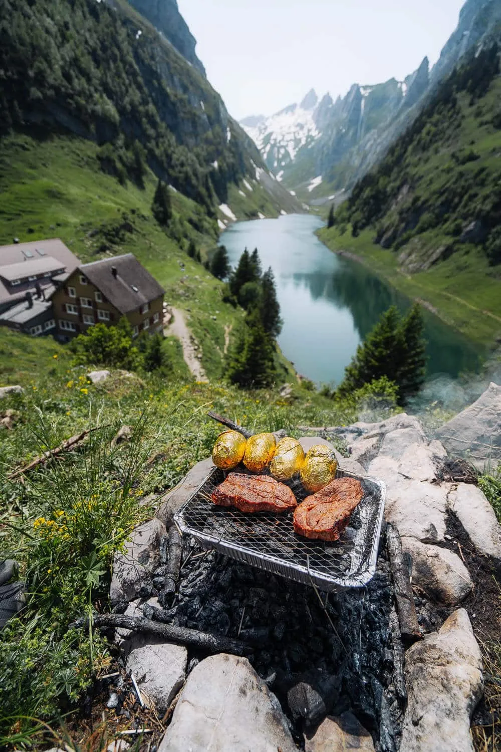
Our Barbecue Grill at the Fälensee Lake
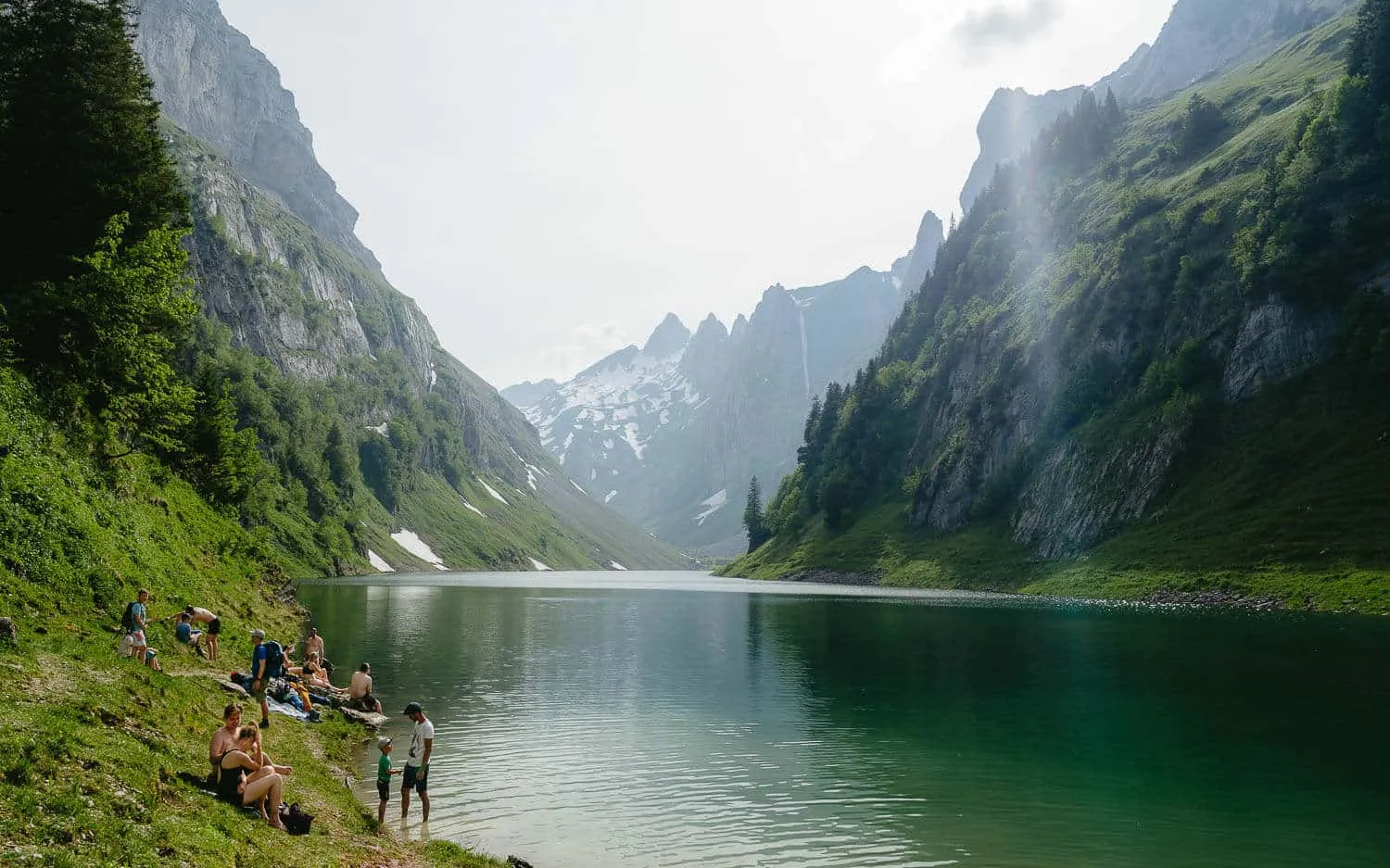
People Swimming in Fälensee Lake
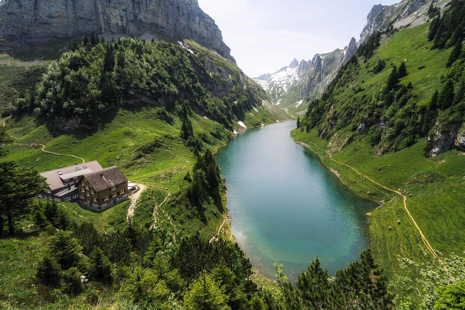
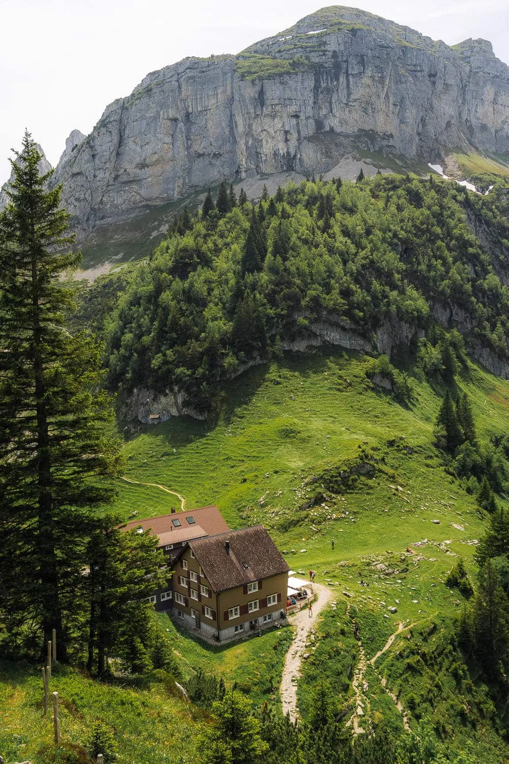
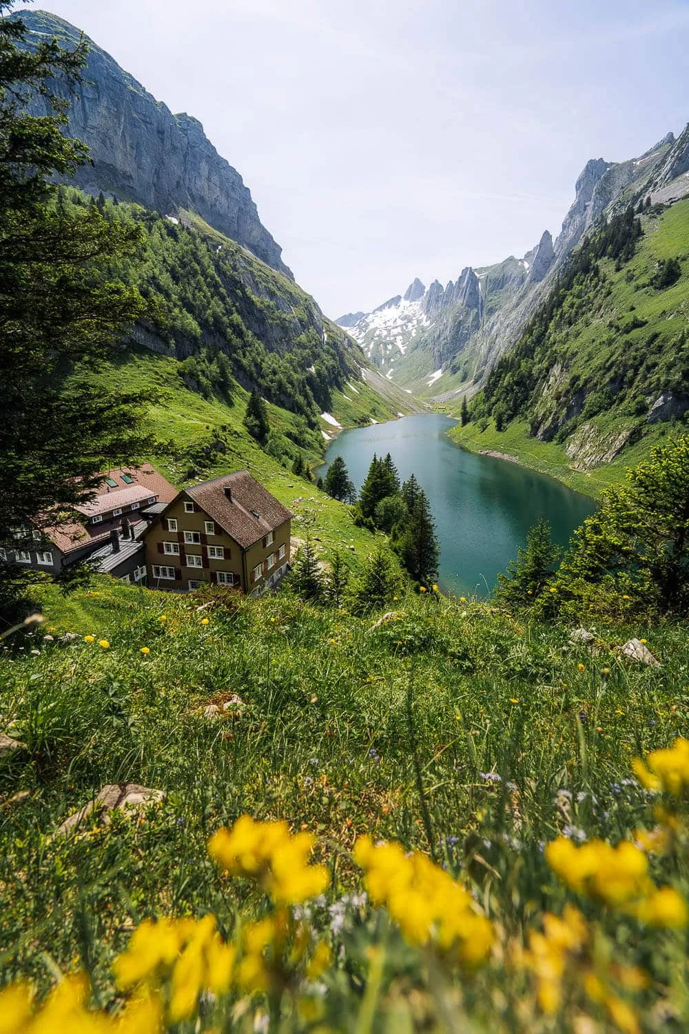
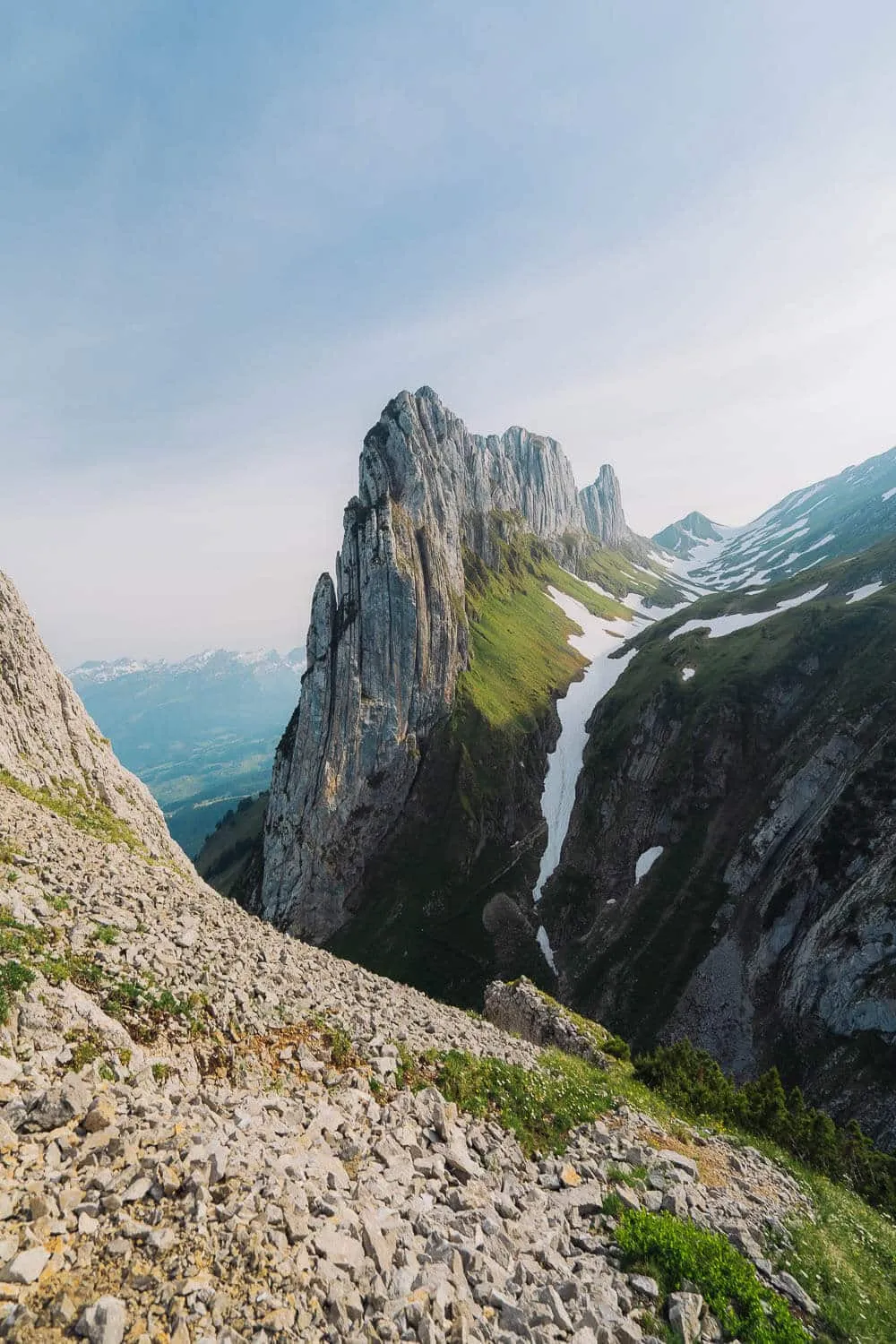
Close to the viewpoint to Saxer Lücke
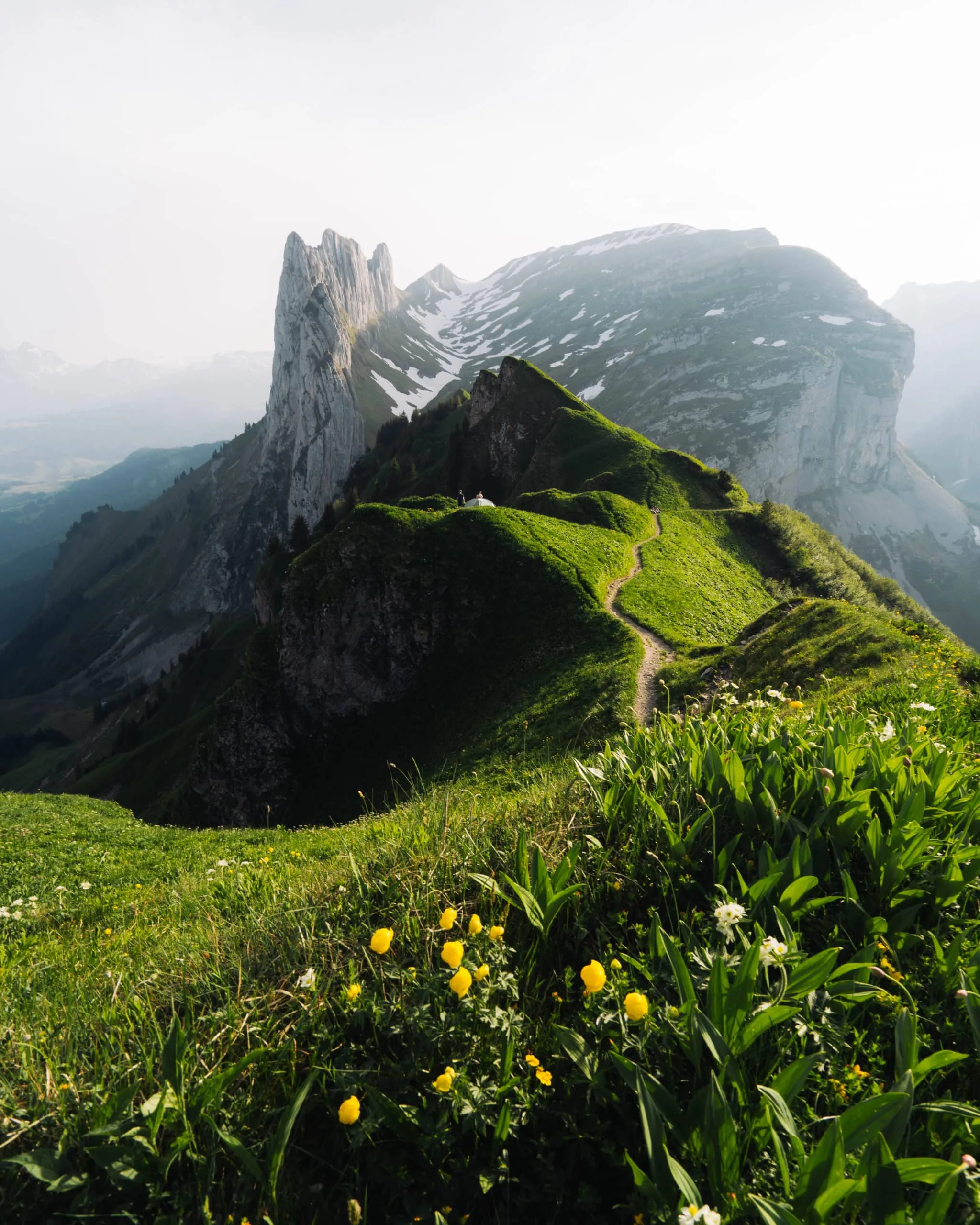
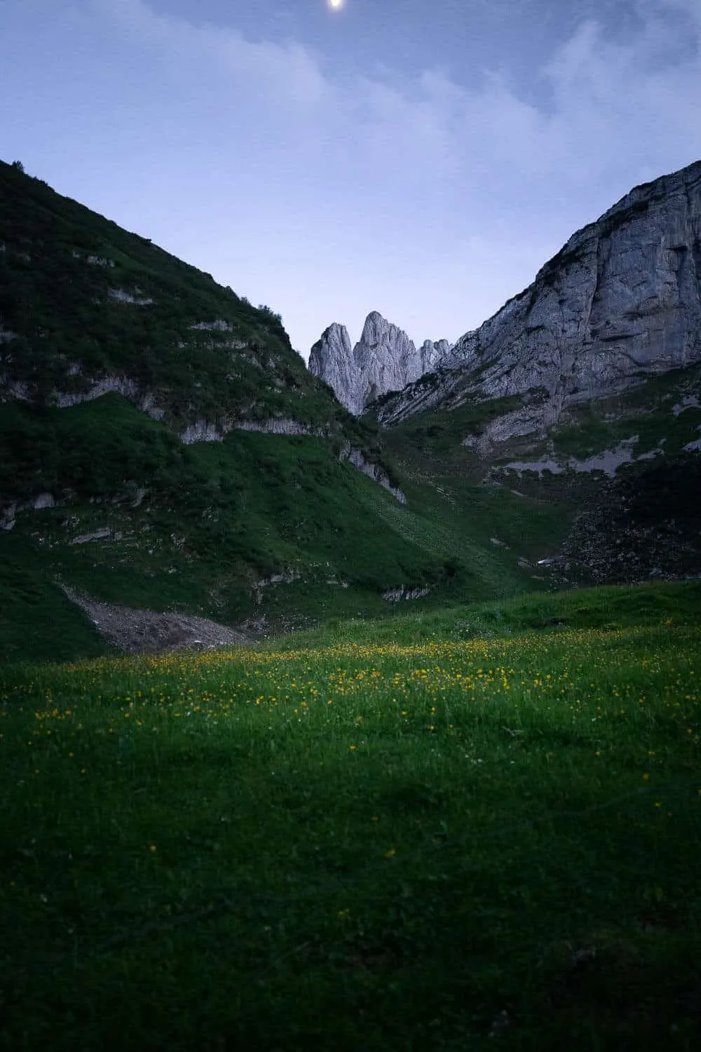
Saxer Lücke at Sunset with flowers
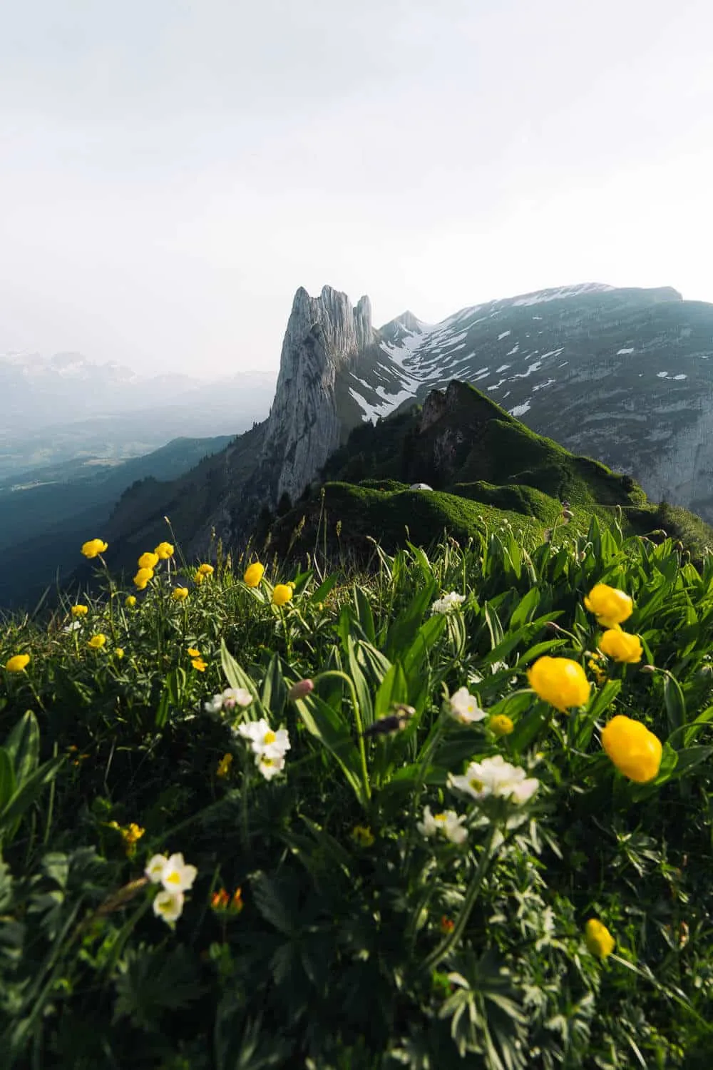
The Perfect Sunset over Saxer Lücke
Reaching Saxer Lücke Viewpoint
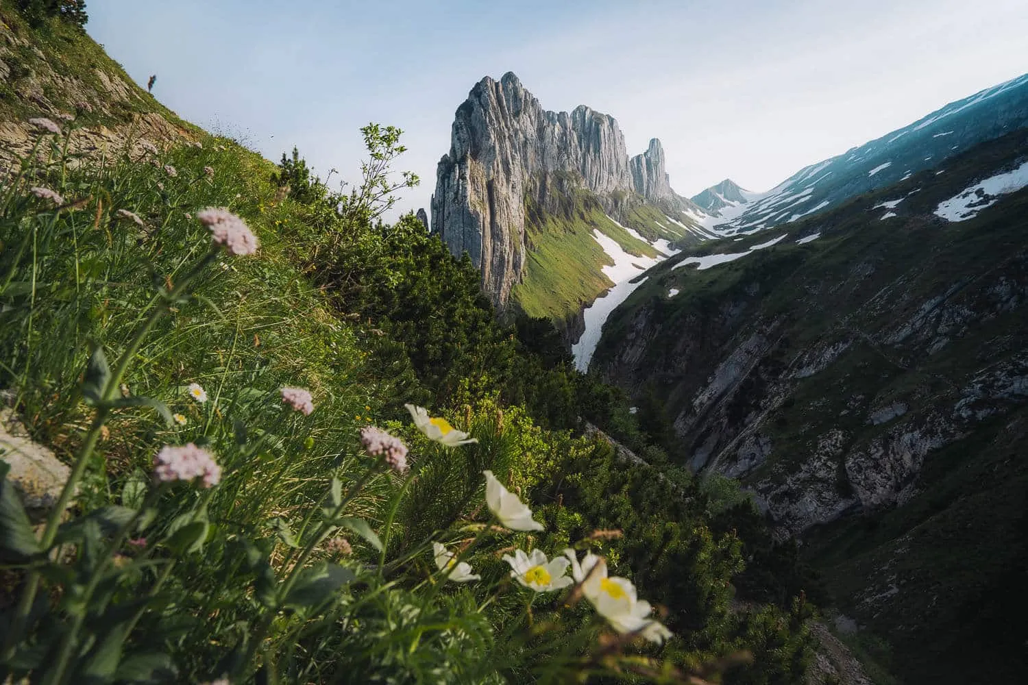
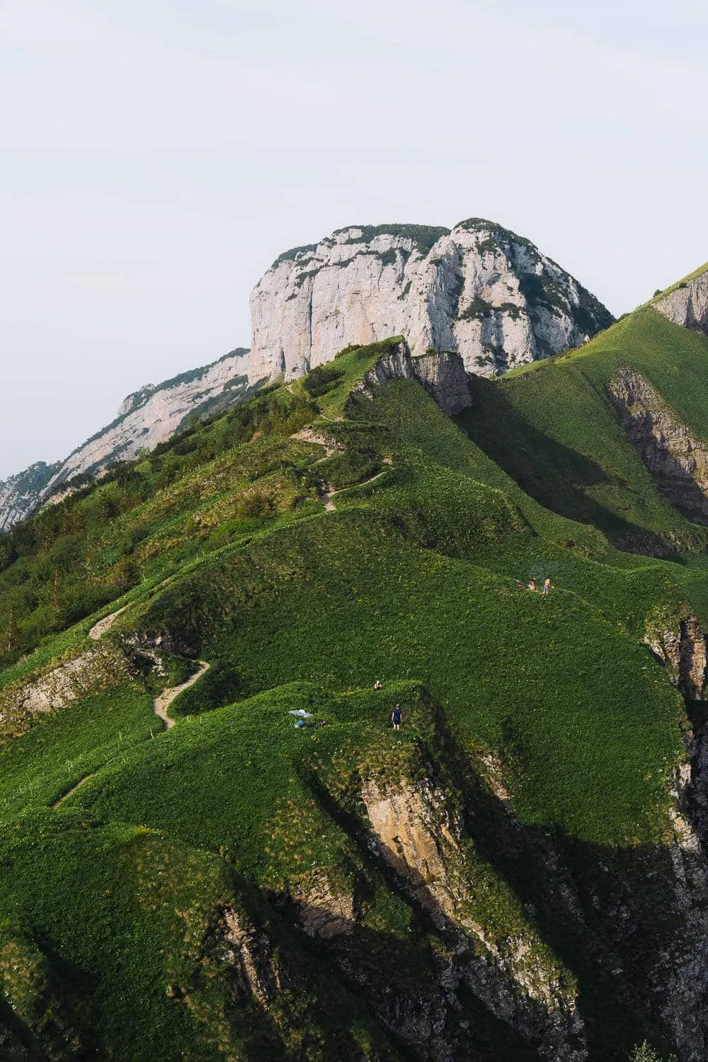
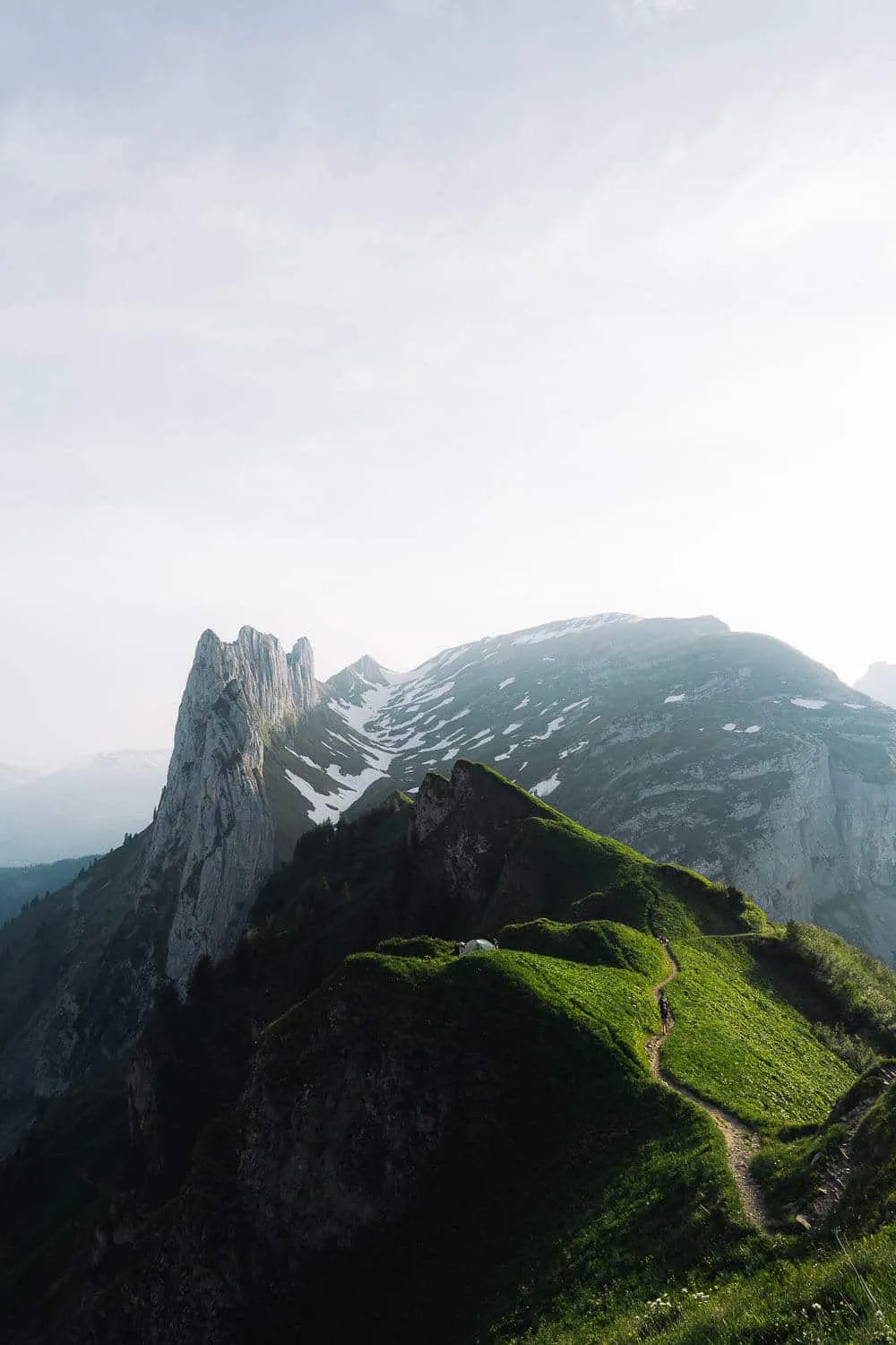
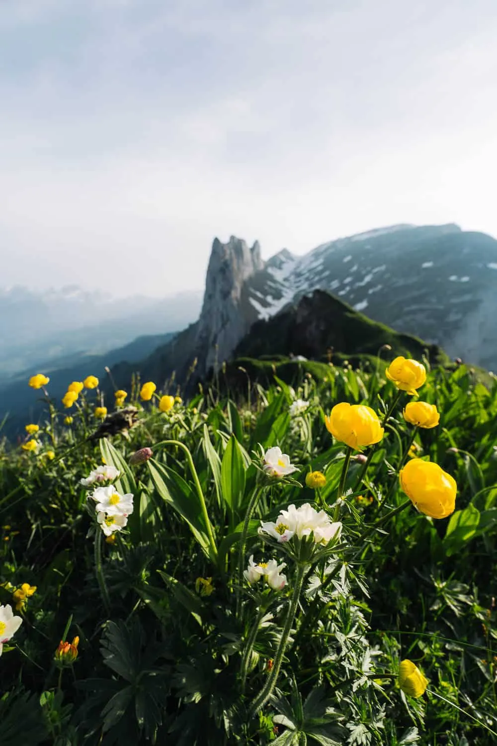
When you start going up, it’s a straightforward 1km climb until you reach the bottom of the famous rock formation itself. It takes you around 35 minutes to get here. Once you are there, you have to go left and climb a set of switchbacks for another kilometer. It’s around a 90m altitude difference, relatively easy to climb. When you reach the top, you have to go forward for another 500m until you reach the place where we set ourselves for the sunset. Now some caution is advisable, especially if you’re with people who are afraid of heights or if there’s a lot of wind on the day that you go, cause to reach the point that we were we had to walk on the ridge top, through a small path out of the main hike route, and there, the floor isn’t dirt and gravel anymore but mostly flying roots from the grass there, which makes it feel like you’re going to fall through at any second, it’s kind of fluffy (which isn’t the best floor to be on an exposed ridge). Also, when you’re looking at Saxer Lücke, on the right side you will have a steep slope and on the left a complete abyss. While you don’t need to go here for your shots, if you do, be careful. And that’s about it, after the sunset, we slowly started our climb down back to Brülisau. It is a heck of a hike, totally advisable, would do it again, and next time perhaps try the entire path from Hohen Kasten to Saxer Lücke or the loop to Seealpsee and Wasserauen, and go by public transport. What about you, have you already done this hike? Leave me a comment down here if you did, and after you did it, with your impression. Thanks for reading through and have fun hiking! I’ll drop a couple of my other favorite photos from this hike down below. njoy! 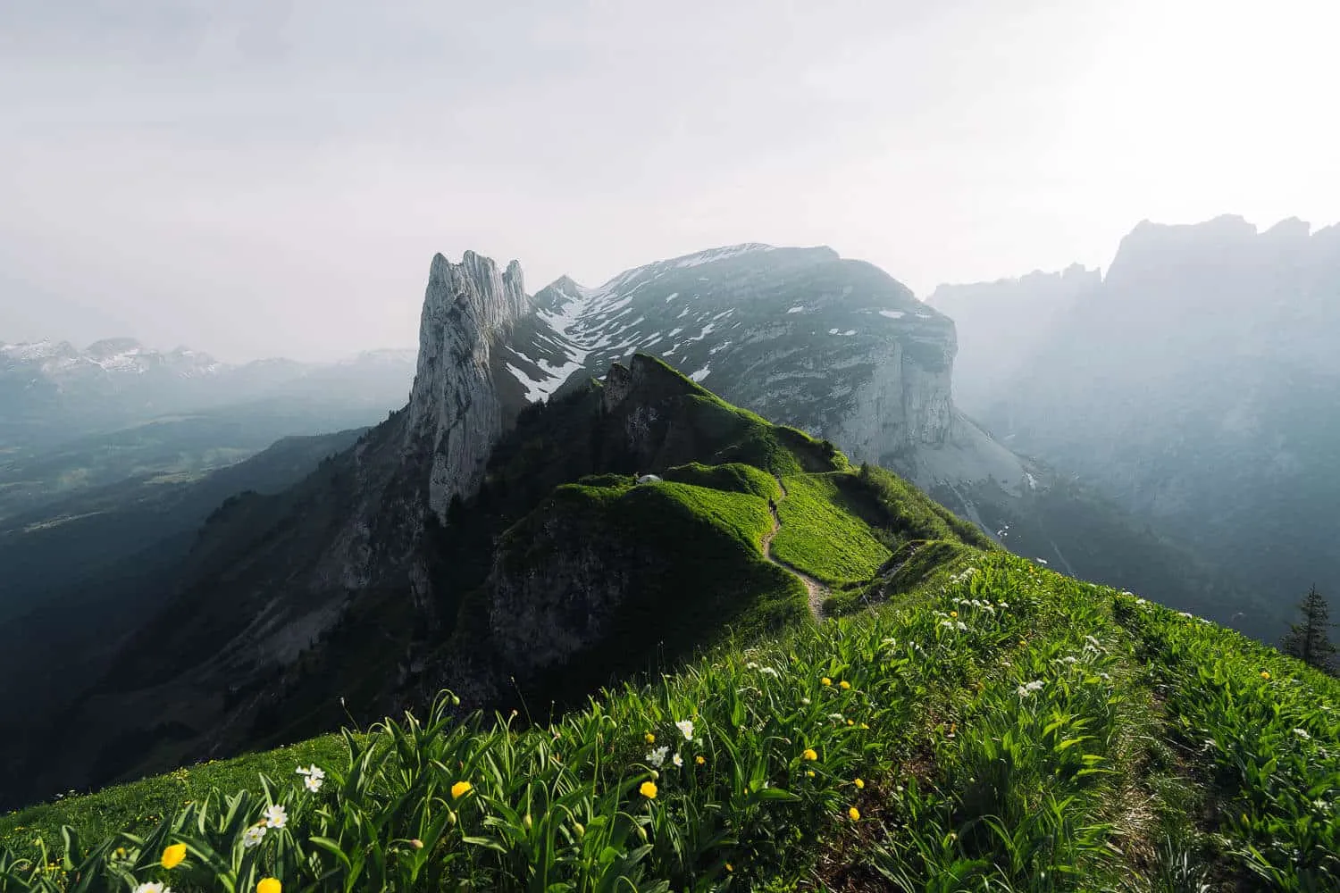
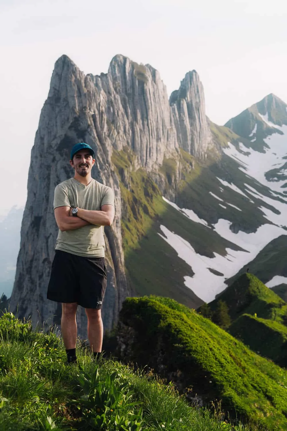
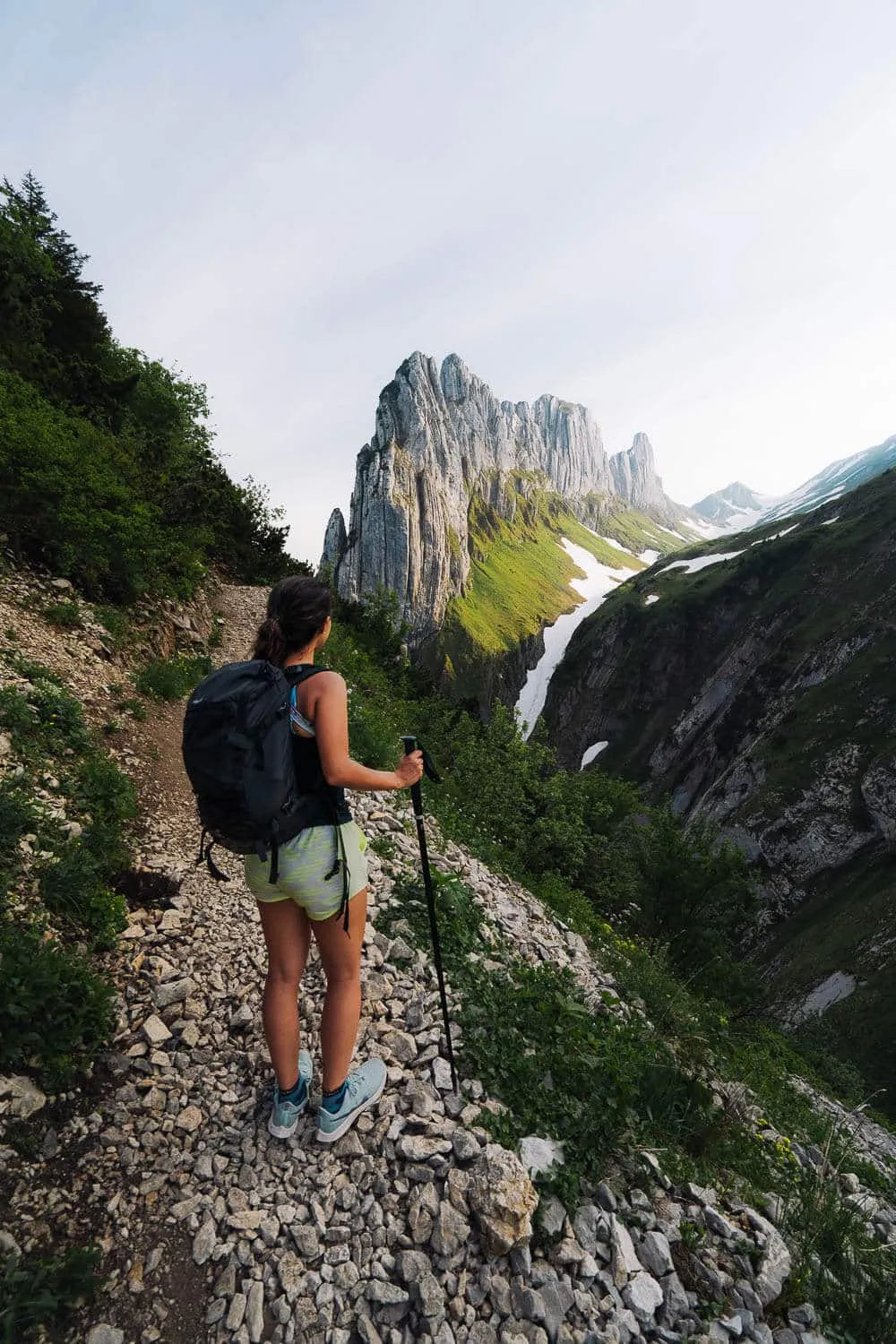
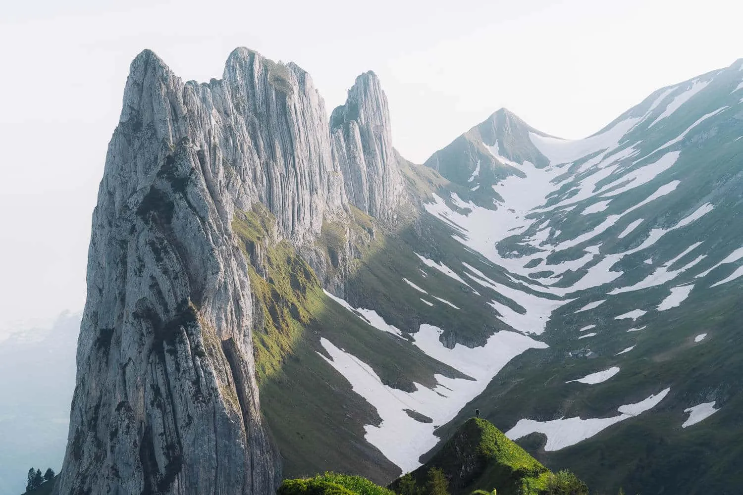
Photo Gallery
From Brülisau to Plattenbödeli Guesthouse
From Sämtisersee to Fälensee
From Fälensee to Saxer Lücke
Saxer Lücke Viewpoint at Sunset
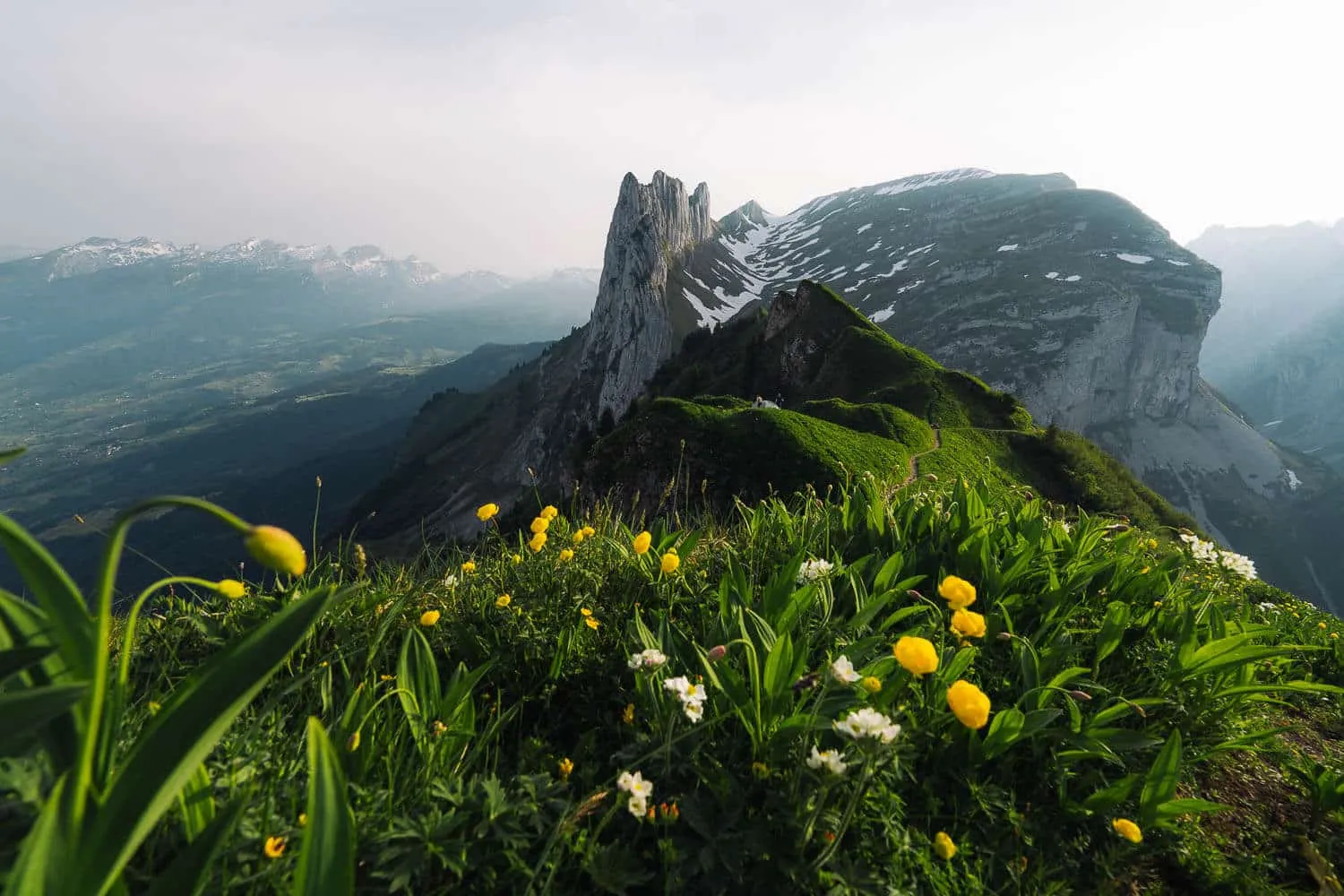
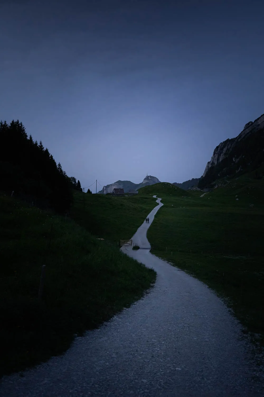
Blue Hour on the way Back