
Climbing Carihuairazo Volcano (5018m) in Ecuador
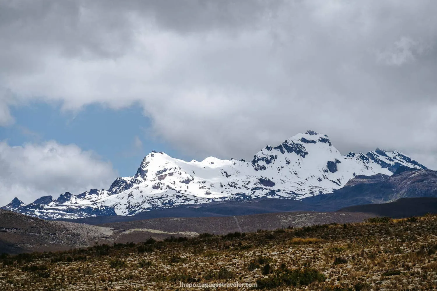
Table of Contents
- 1. Climbing Carihuairazo Volcano: General Details
- 2. Climbing Carihuairazo Volcano: Technical Details
- 3. Making the Most of Your Carihuairazo Trip
- 4. How to climb Carihuairazo Volcano?
- 5. What clothing should i bring to climb Carihuairazo Volcano?
- 6. How much does it cost to climb Carihuairazo Volcano?
- 7. How to get to the basecamp of Carihuairazo Volcano?
- 8. Carihuairazo Volcano: Curiosities
- 9. My Experience climbing Carihuairazo Volcano
- 9.1. Hiking to the Carihuairazo Lagoon and Snow
- 9.2. The Snowy Carihuairazo Summit Push
- 9.3. Clear Skies while Returning to the Refuge
- 10. Photo Gallery
- 10.1. Hiking to the Carihuairazo Lagoon and Snow
- 10.2. The Snowy Carihuairazo Summit Push
- 10.3. Clear Skies while Returning to the Refuge
Climbing Carihuairazo Volcano (5018m)
Tungurahua - Ecuador
Embark on an epic ascent of Carihuairazo Volcano, a twin peak alongside Chimborazo. This two-day guided expedition takes you to the summit at 5,018 meters (16,463 feet), providing the perfect acclimatization and training for Cotopaxi or Chimborazo climbs. Marvel at the stunning views of Chimborazo, neighboring volcanoes, and the illuminated cities below. Conquer one of Ecuador’s most popular summits while experiencing the magic of the Andean landscape.
Table of Contents
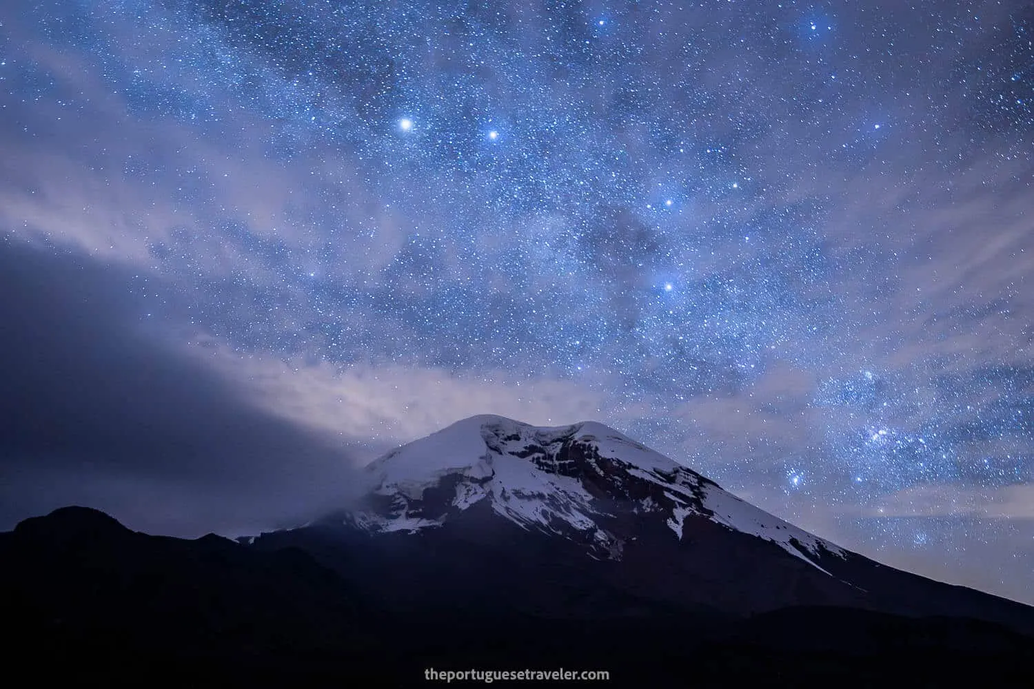
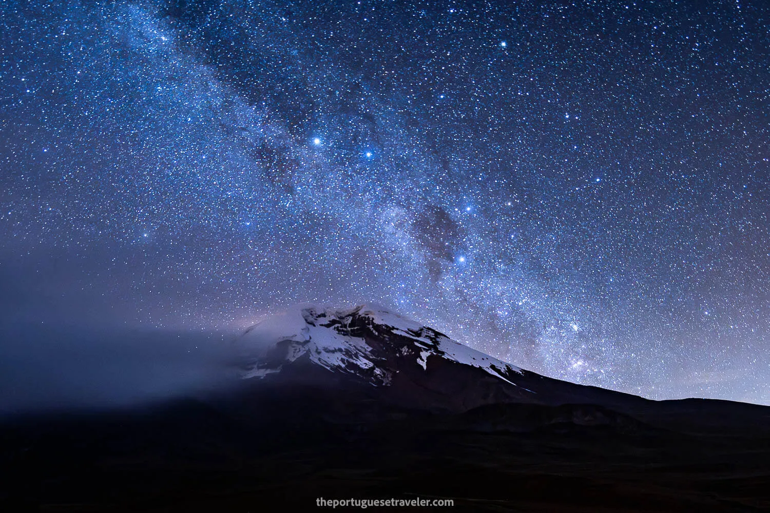
Chimborazo and the Milky Way seen from the refuge of Carihuairazo Volcano
Climbing Carihuairazo Volcano: General Details
To climb Carihuairazo Volcano, a high-altitude mountain in the Ecuadorian Andes, you can do it in two ways, with a Mountaineering Agency or on your own w/ a certified guide:
- Highlights: Carihuairazo Volcano Summit, Views of other volcanoes such as the famous Chimborazo, Los Ilinizas, El Altar, Sangay, and Cotopaxi (on a clear day).
- Duration: 2 days.
- Accommodation: Camping or Refuge.
- Price: 30-200$ (details in the following section)
- Outfit: High-altitude mountain gear, and if camping appropriate equipment (details in the following section)
- Best Months to Climb: September - December
- Recommended Agencies: Cumbre Tours, Mountain Tours, Mauna Expeditions
- Recommended National Guide: Leandro Vasconez: +593984590343
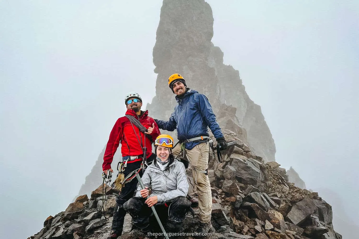
The Summit of Carihuairazo Volcano
Climbing Carihuairazo Volcano: Technical Details
- Type: Out-and-Back Trail.
- Distance: 11 km (both ways) - Starting where I marked on the map which is the last place a normal 4x2 car can reach due to the bad terrain).
- Duration: 5 hours of moving time, 9 hours counting the lunch and small breaks.
- Difficulty: Moderate-Hard. The hardest part about the climb is called Canaleta and it’s the last summit push section that in our case was with a lot of snow and loose rocks. The trek is mainly a hike until that part.
- Incline: ca. 700m of ascent and descent.
- Altitude: 4300m (lowest point) at the parking and 5010m (highest point) at the central summit - The refuge stands at 4200m
Powered by Wikiloc
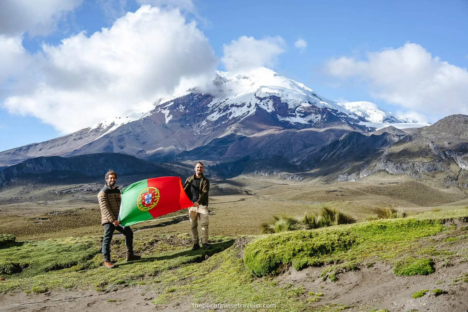
Me and Miguel my Portuguese friend at the basecamp of Carihuairazo looking at Chimborazo
Making the Most of Your Carihuairazo Trip
Carihuairazo may not be as well-known as Chimborazo, but it’s a stunning destination for hikers looking for a less-traveled route. While I couldn’t find highly-rated summit tours online, I’ve listed companies and contacts in the following sections if you’re interested in the climb.
For a shorter visit, these tours let you explore Chimborazo’s landscapes, hike, or even bike around - all in a day trip, from Baños or Quito:
How to climb Carihuairazo Volcano?
To climb Carihuairazo Volcano, a high-altitude mountain in the Ecuadorian Andes, you can do it in two ways:
-
- Mountaineering Agency:
- Pros: More comfortable and easy to plan. Includes everything.
- Cons:
- Shared Trip: Big Groups, Random People
- Private Trip: More expensive than hiring a guide by yourself.
- Hiring a Certified Guide - National Guide - ASEGUIM - UIAGM:
- Pros: Cheaper (you don’t pay the agency’s fee), private, flexible (your own dates), personally choose your own guide.
- Cons: You have to arrange the transportation, accommodation, meals, and rent the technical gear. You have to pay for the guides expenses too.
- Mountaineering Agency:
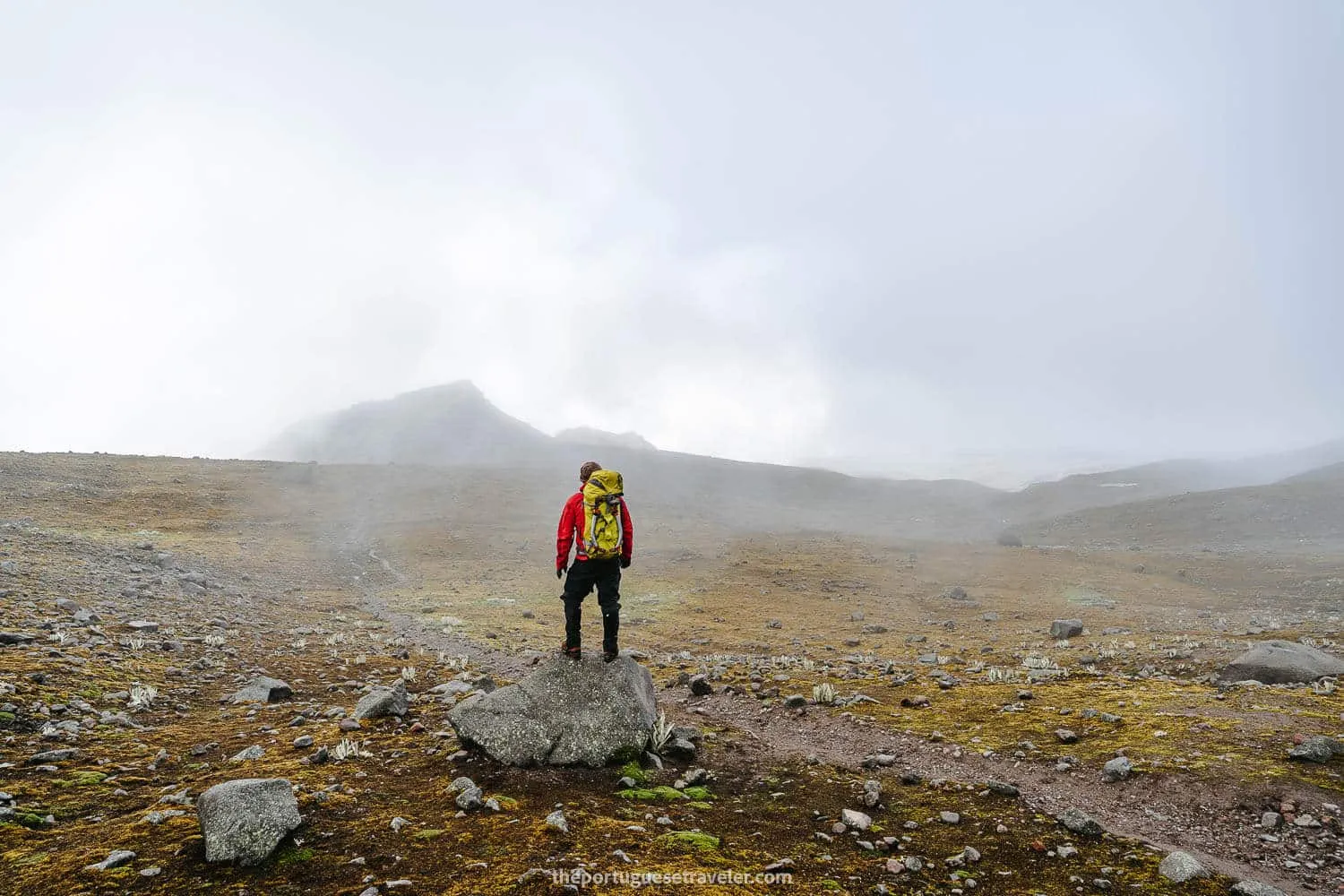
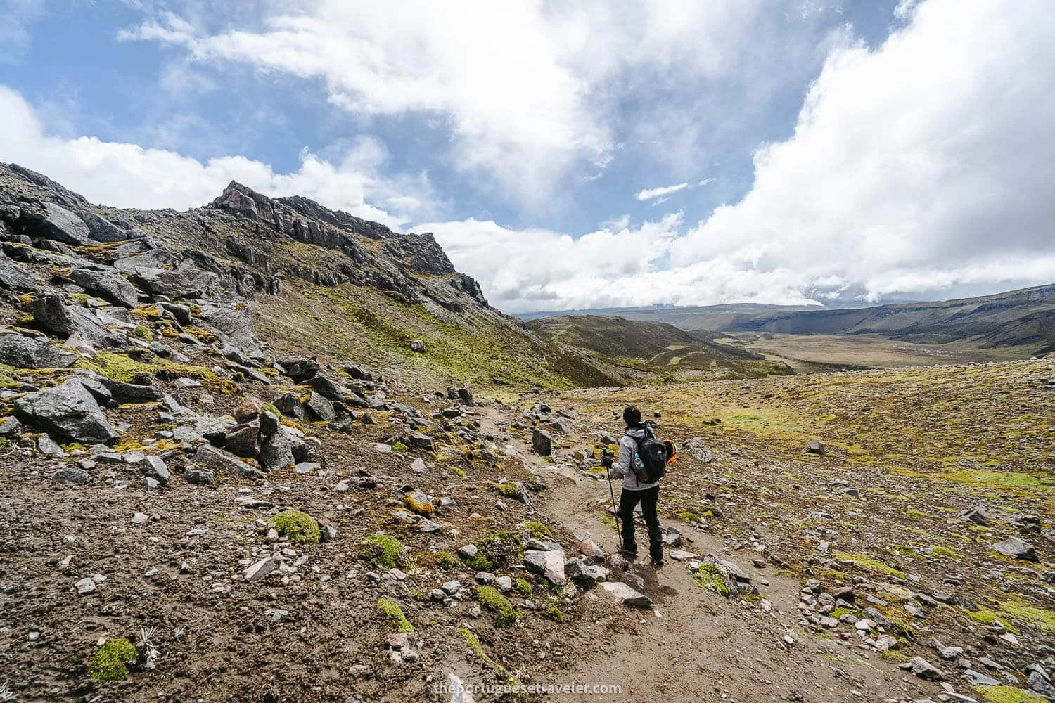
Some epic desolated landscapes on the way to the lagoon
What clothing should i bring to climb Carihuairazo Volcano?
To ensure a safer and more comfortable journey in this High-Altitude Mountain with snow and technical sections, certain specific equipment is indispensable:
Essentials:
- Tshirt: Breathable T-shirt (Tech or Merino)
- Jacket (3 layers): Base Layer or Fleece, Puffer Jacket, and a Waterproof Jacket (Gore-Tex or H2O Technology)
- Pants: Base Layer, and a Hardshell (Gore-Tex or a Waterproof Alternative)
- Gloves: Waterproof Gloves w/ Interior Liner Layer (or Merino Liner Gloves, and a Waterproof Hardshell)
- Socks: Merino Socks
- Shoes: High Mountain Mountaineering Boots, or Technical Mountaineering Boots, with High Gaiters.
- Hat: Beanie, Buff, Cap
- Sunglasses: Glacier Sunglasses
- Lights: Headlamp
- Backpack: 25-35 liters
* It is advisable to have an additional thermal layer or jacket available for extremely cold conditions (at the climb) and to have an extra change of clothes (that you leave at the refuge).
Climbing Equipment:
- Helmet: For the loose rocks on the last steep pre-summit section.
- Crampons: For the snow that exists roughly from the lagoon onwards.
- Piolet: Also for the steep snow part.
- Harness: For the last section “canaleta” if conditions require.
- Trekking Poles: For the entire hike until the steep snow climb where it’s advisable to use the ice axe instead.
- Rope: For the canaleta section (usually the guide brings)
- Carabiners: For the canaleta section (usually the guide brings)
Useful Extras:
- Victorinox Swiss Multi-Tool or Victorinox Hiker Knife
- Change of Clothes
- First-Aid Kit
Consumables:
- Drinks, and Snacks: Bring enough of it especially if you’re a beginner.
- Thermos
Check out my complete guide on What’s in My Backpack - From photography gear, and clothing for Hiking, Mountaineering, Scuba Diving, Rainforest, and City-Street Photography.
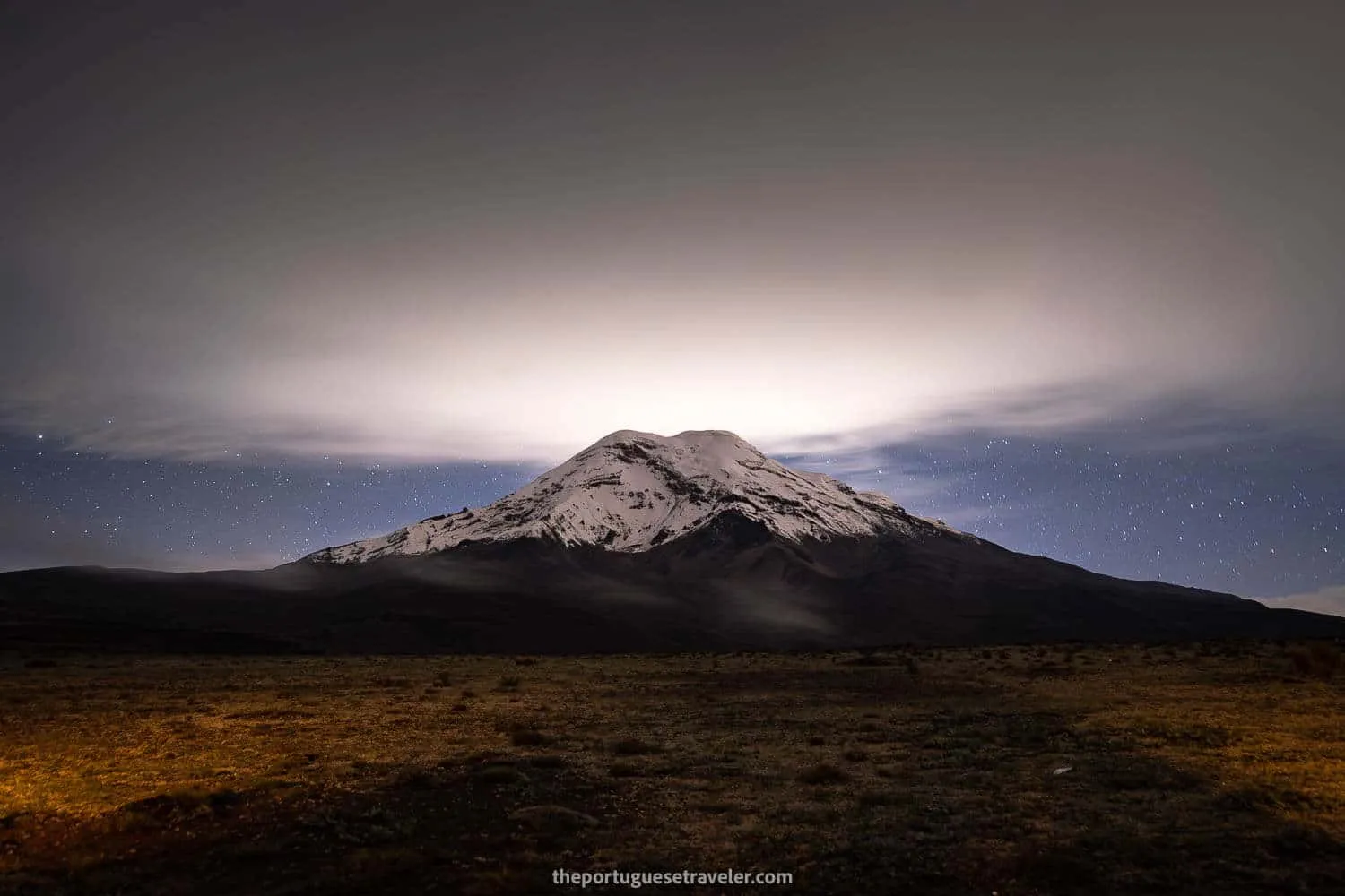
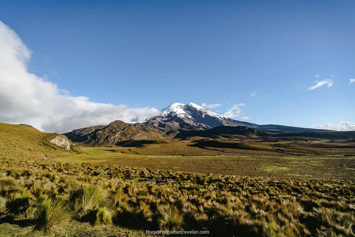
Chimborazo Volcano seen from El Arenal
How much does it cost to climb Carihuairazo Volcano?
To provide you with an estimation of the expenses associated with climbing Carihuairazo Volcano, I have provided a detailed breakdown of the costs involved. Firstly, you need to consider whether you will be going with an agency or a private guide. Additionally, there are other supplementary expenses that require careful consideration.
Agency/Private Guide:
-
- Mountaineering Agency:
- Shared Trip (12-30 persons): 100-30$ (pp) - The pricing decreases as the number of participants increases.
- Private Trip: ASEGUIM Guide + Agency’s Logistics 40$ (pp)
- Hiring a guide:
- ASEGUIM Guide: 200-250$ (2 persons), 300$ (4-5 persons).
- National Guide: 200$ (2-3 persons), 250$ (4-5 persons w/ support guide).
- Mountaineering Agency:
Transport (from Quito):
- Bus (Quito - Ambato): 8$ (both ways)
- Bus (Ambato - Guaranda): 8$ (both ways)
- Taxi (Ambato - Refuge): 100-140$ (both ways)
- Gas: 60$ (both ways)
Community Entrance Fee: 2$ (pp)
Accommodation:
- Camping: Free
- Refuge: 12$ (pp)
Equipment for Rental:
(Daily prices without taxes)
- Helmet: 4$ (used) - 5$ (new)
- Crampons: 5$
- Ice Axe: 4$ (used) - 5$ (new)
- Harness: 4$ (used) - 5$ (new)
- Waterproof Pants: 5$ (used) - 6$ (new)
- Waterproof Jacket: 5$ (used) - 6$ (new)
- Waterproof Gloves: 3$ (used) - 4$ (new)
- Rubber Boots: 10$
- Mountaineering Boots: 12.5$ (used) - 20$ (new)
- Tent: 12$
- Mattress: 2.5$
- Sleeping Bag: 5$ (used) - 6$ (new)
- Backpack 35-65L: 5$
- Sunglasses (UV 4): 3.5$
- Headlamp (without batteries): 3$
Equipment for Sale:
- Trekking Poles: 10$
- Fleece+Pants (1st Layer): 44.80$
- Gloves (1st Layer): 3.92$
- Socks (Merino Wool 70-80%): 16.80$
- Socks (1st Layer): 11.20$
*Prices from Los Alpes Store in Quito, 26.May.2023__Alternative Stores for renting equipment: Tatoo, Cotopaxi Warehouse, Andes Alpino, Mountain Tours.< Food, Drinks, and Snacks: 10$ (pp)
Estimated Total (per person):
-
Scenario 1:
- Group of 3,
- Full Equipment,
- Private Car,
- Hired a National Guide:
- Price Breakdown: 20$ (gas), 2$ (entrance fee), 66$ (guide), 10$ (meals), 4$ (guide’s entrance fee + meals)
- Total: 102$ USD
-
Scenario 2:
- Group of 2
- No Equipment,
- Hired a Privet Tour with an Agency.
- Price Breakdown: 140-165$ (ASEGUIM guide + logistics)
- Total: 140-165$ USD (max 200$ USD)
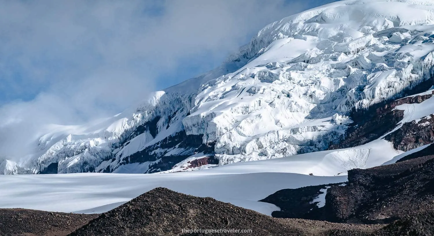
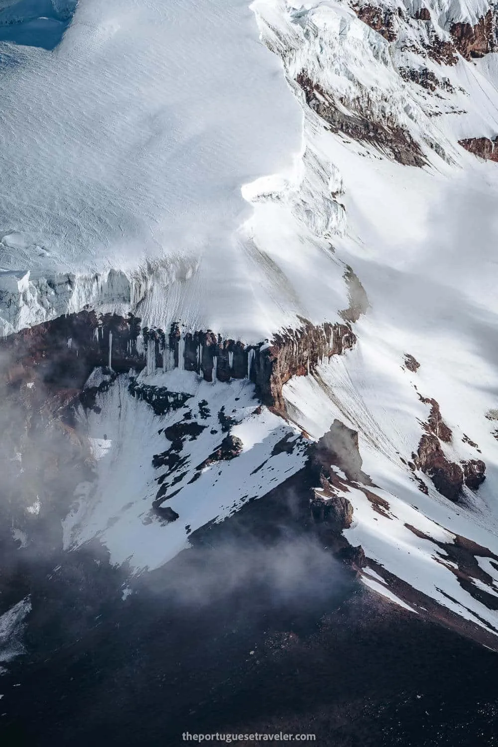
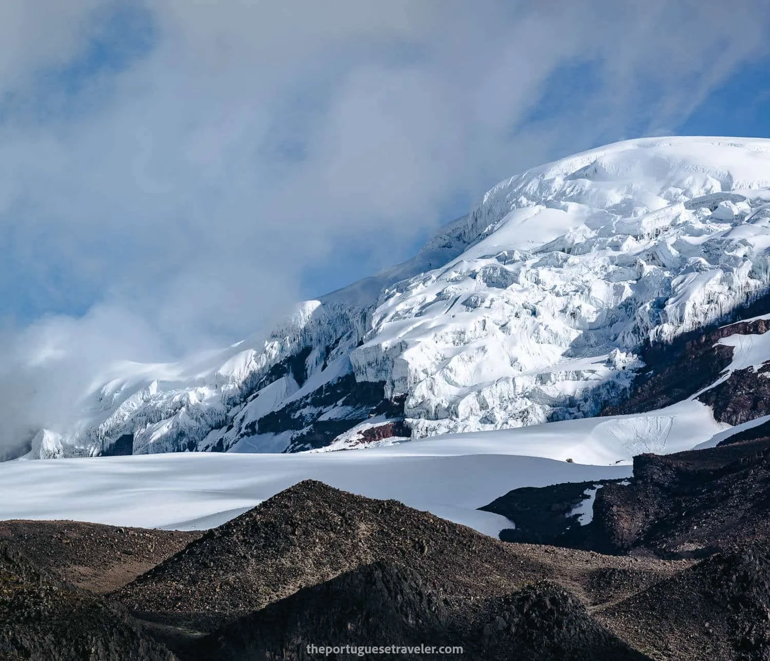
Some details of Chimborazo’s glaciers
How to get to the basecamp of Carihuairazo Volcano?
By Car:
From Quito to the refuge/basecamp it takes around 3:30h - Direction Quito - Ambato - Guaranda
From Guayaquil to the refuge/basecamp it takes around 4:30h - Direction Guayaquil - Babahoyo - San Pablo - Guaranda - Ambato.
From Riobamba get the road that passes through the Chimborazo Lodge and El Arenal until the crossroads Guaranda-Ambato and then take a right until you reach the entrance of the reserve (the road is not good, too many potholes so a 4x2 or 4x4 is advisable). Riobamba - Refuge takes around 1:20h
By Bus:
From Quito to Ambato, and then from Ambato to Babahoyo, ask the bus driver to drop you at the entrance of the reserve. Roughly 1 hour after leaving Ambato. Then you might need to ask for the local community to drop you off at the refuge or you can walk there 4km (1 hour).
From Guayaquil to Babahoyo/Guaranda, and then to Ambato, ask the bus driver to drop you at the entrance of the reserve. Roughly 45 minutes after leaving Guaranda. Then you might need to ask for the local community to drop you off at the refuge or you can walk there 4km (1 hour).
From Riobamba to Guaranda and then another bus to Ambato, ask the bus driver to drop you at the entrance of the reserve. Roughly 45 minutes after leaving Guaranda. Then you might need to ask for the local community to drop you off at the refuge or you can walk there 4km (1 hour).
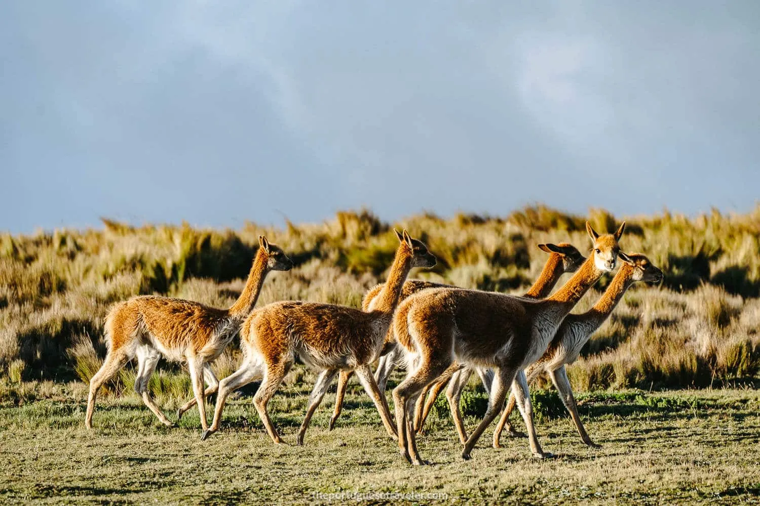
Some vicuñas around Carihuairazo Volcano
Carihuairazo Volcano: Curiosities
- Name and Meaning: The name “Carihuairazo” finds its roots in the Quichua language, combining the words “cari” (man), “hauaira” (wind), and “razu” (snow), symbolizing the volcano’s distinctive features.
- Climbing Conditions: Carihuairazo is a great climb when the weather is nice. However, as the name suggests, strong winds and frequent snow or rain can accompany a climb. It is essential to be well-prepared with appropriate equipment, including a good raincoat.
- Preparation for Chimborazo: Due to its proximity to Chimborazo, Carihuairazo serves as a perfect option for climbers to prepare and acclimatize before attempting to climb Chimborazo.
- Indigenous Mythology: According to legend, Carihuairazo and Altar Mountains were defeated by Chimborazo in a romantic quarrel over the love and grace of Mama Tungurahua. As a result, the craters of Carihuairazo and Altar were destroyed, explaining their current forms.
- Protected Ecosystem: Carihuairazo is located within the “Chimborazo Faunistic Production Reserve,” a protected ecosystem that preserves the habitat of native Andean animals.
- Mountain Sister: Carihuairazo is often referred to as the sister mountain of Chimborazo because of its close proximity, located just 10 km (6.2 miles) southwest of Chimborazo.
- Peaks and Ascension: Carihuairazo has two main peaks. The highest is the Central Peak, reaching 5,020 meters (16,469 feet). The lower peak, known as Mocha, is situated to the southeast. Climbing Carihuairazo requires basic snow and ice techniques, making it suitable for beginners with moderate skill levels.
- Past Dimensions: It is believed that Carihuairazo had similar dimensions to Chimborazo before its last period of activity, which destroyed its base. What remains today is a one-kilometer-wide, highly eroded caldera that opens to the east. The volcano shows no evidence of current activity and is considered inactive.
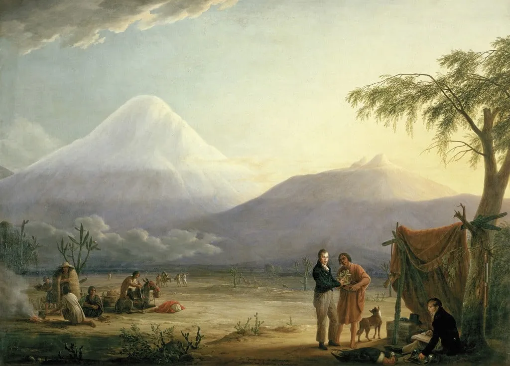
Humboldt and the Chimborazo and Carihuairazo Volcanoes, painting by Friedrich Georg Weitsch, 1806 (Source: https://picturingtheamericas.org/painting/alexander-von-humboldt-and-aime-bonpland-near-the-chimborazo-volcano/?lang=es)
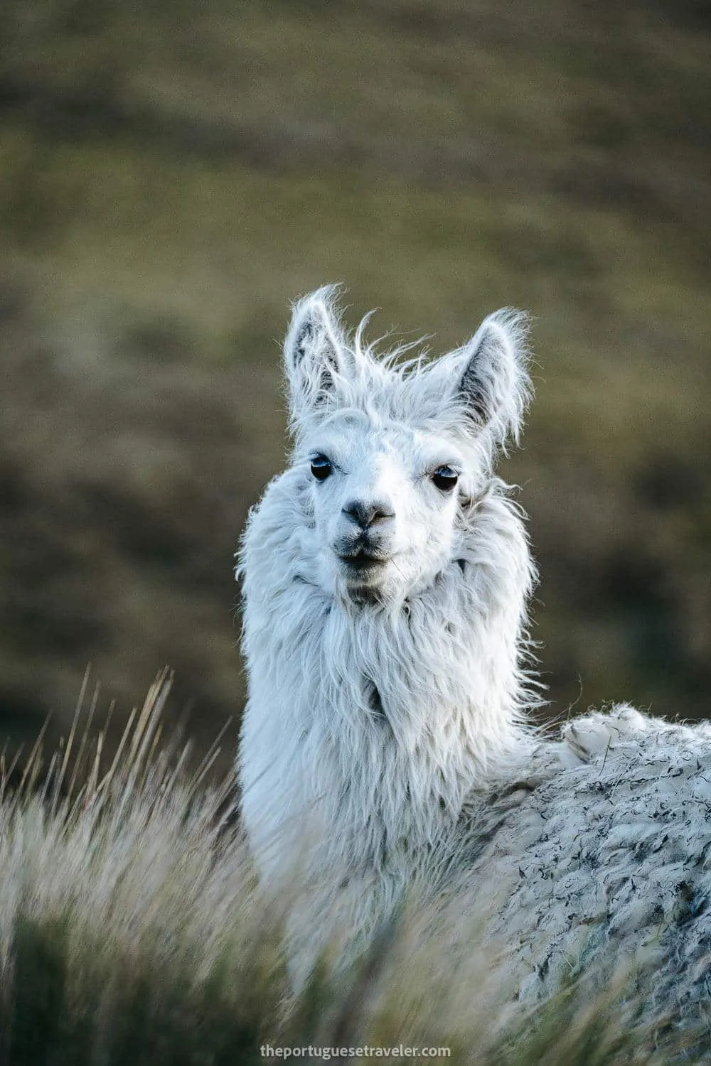
A llama on the reserve
My Experience climbing Carihuairazo Volcano
Our journey began in Quito, accompanied by my friends Jhos and Miguel, a Portuguese friend who had joined me for some adventures in Cotopaxi National Park the previous week.
To ensure a successful climb, I reached out to my friend Leandro, who had previously guided us in the Cueva de Los Tayos in August 2022. We hired him as our guide for the Carihuairazo Summit.
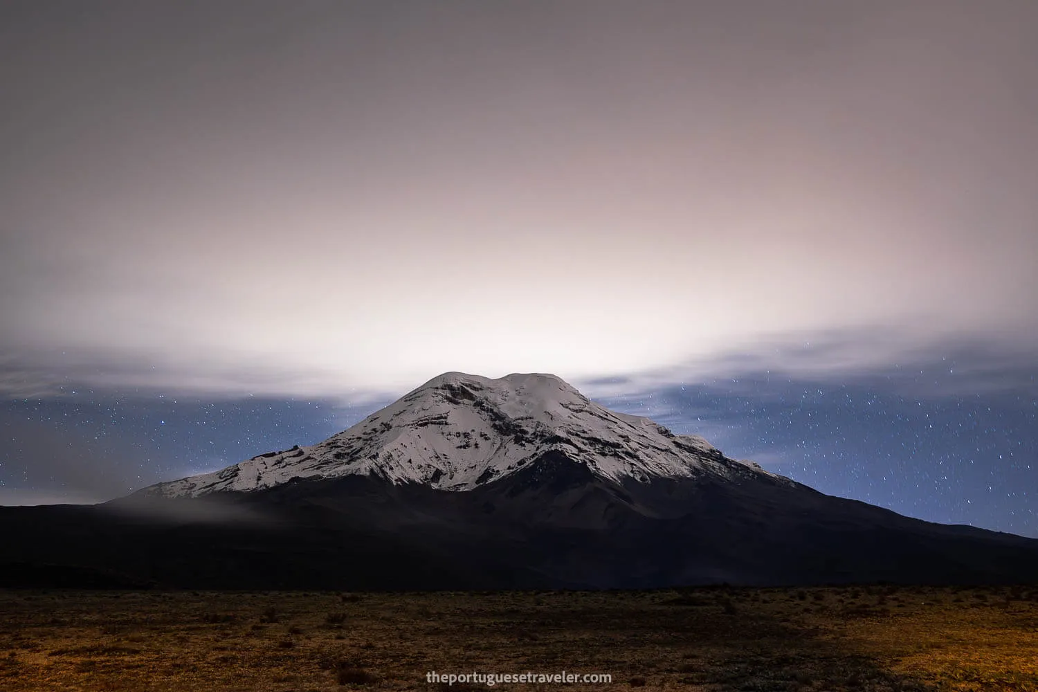
Leandro resides in Riobamba, so we picked him up at around 6 PM, although we should have arrived three hours earlier. Due to the delay, we had to drive around Chimborazo during the nighttime, making it a bit challenging. Nevertheless, we managed to stop for some night photos, capturing the majestic beauty of Chimborazo. Eventually, we reached the community entrance, where Leandro spoke with the locals to open the chain blocking our way. We paid a fee of $2 each for the entrance. From there, we drove for approximately 10-15 minutes until we reached the Refuge.
For this climb, we decided to camp inside a cozy traditional hut to protect ourselves from the cold and wind. Leandro mentioned that in the past, there were no proper huts or houses available for accommodation, and camping inside the choza (hut) was the only option. Nowadays, the refuge offers accommodation at a cost of $12 per person. However, the houses didn’t appear to be any warmer than our choza, so if you can, I would still recommend camping to save some money. While setting up our tents, we took the opportunity to capture some stunning astrophotography shots with Chimborazo as the backdrop. Unfortunately, there was no view of Carihuairazo from our location. We enjoyed some tea and retired for the night, as it was already around midnight.
The next day, we woke up at 4:30-5 AM and drove the car closer to the starting point of the hike, saving us approximately one hour of walking each way. I would not recommend attempting this without at least a 4x2 car, as the road conditions were quite rough. Despite the challenging road, we managed to navigate through and continue our adventure.
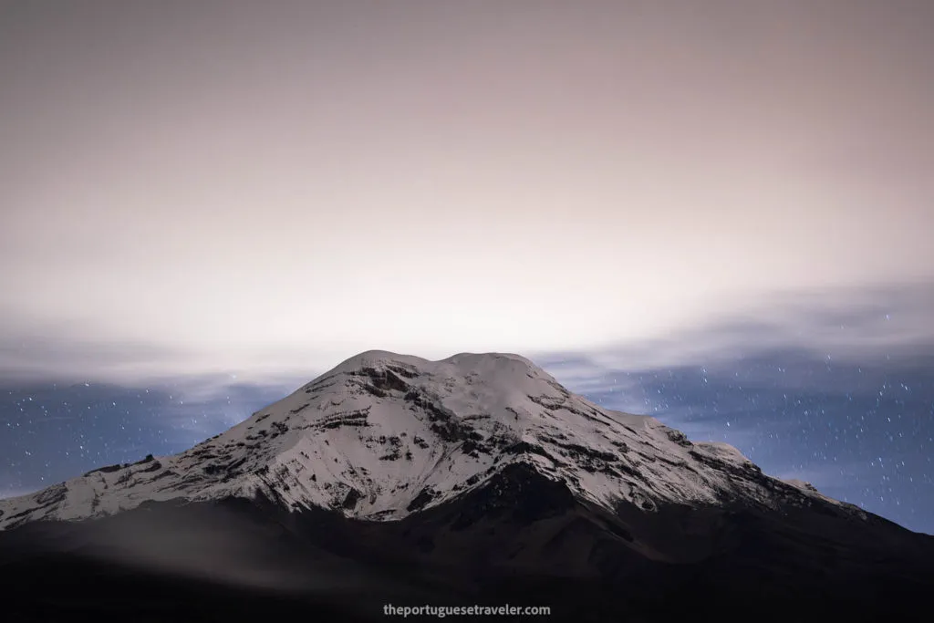
Chimborazo on our way to the refuge of Carihuairazo
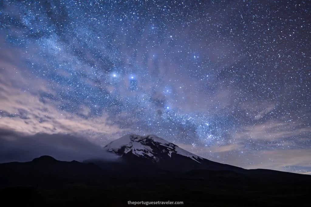
The first Chimborazo shots we did after setting up the tents
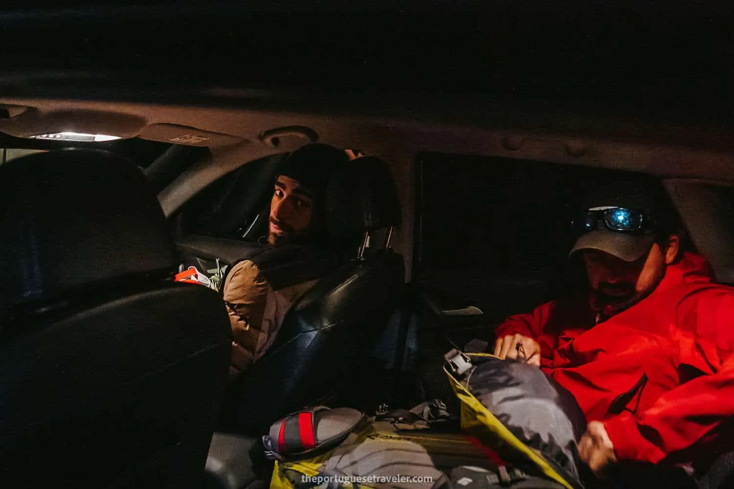
After finally arriving at the refuge completely tired
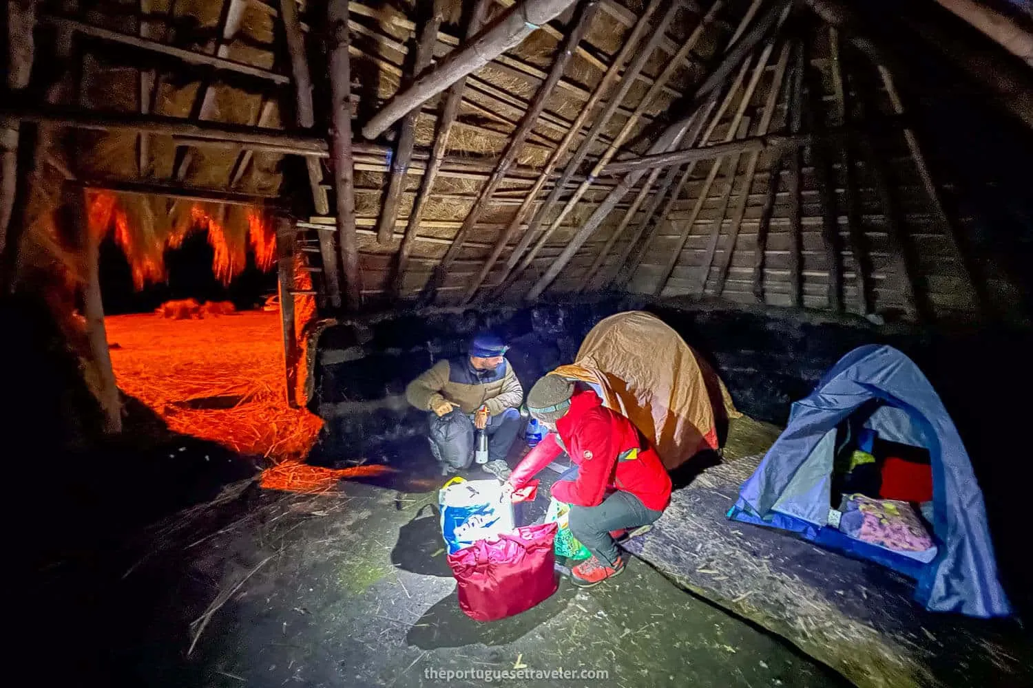
Preparing the dinner and tea before sleeping inside the choza
Hiking to the Carihuairazo Lagoon and Snow
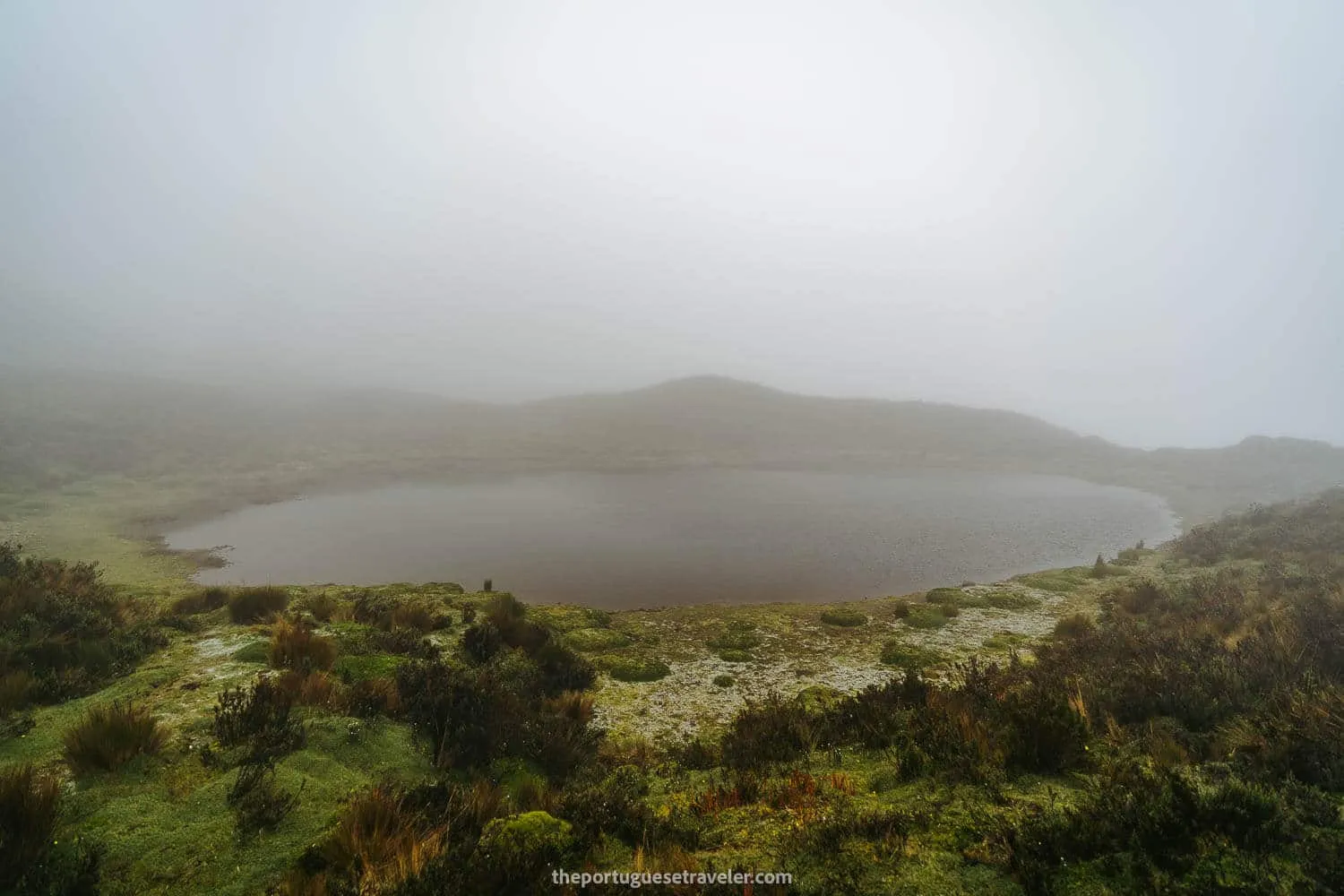
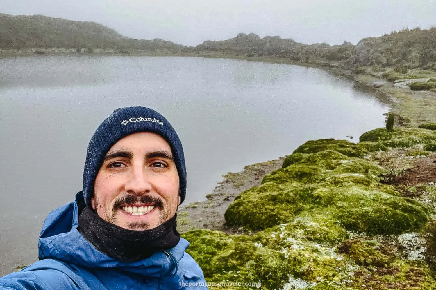
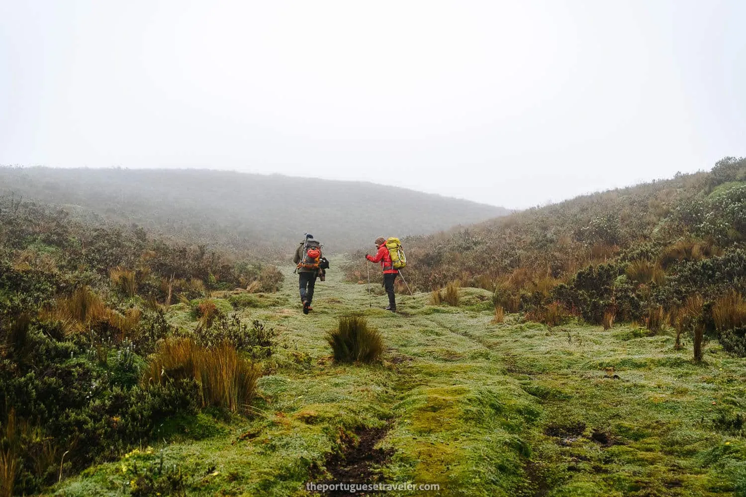
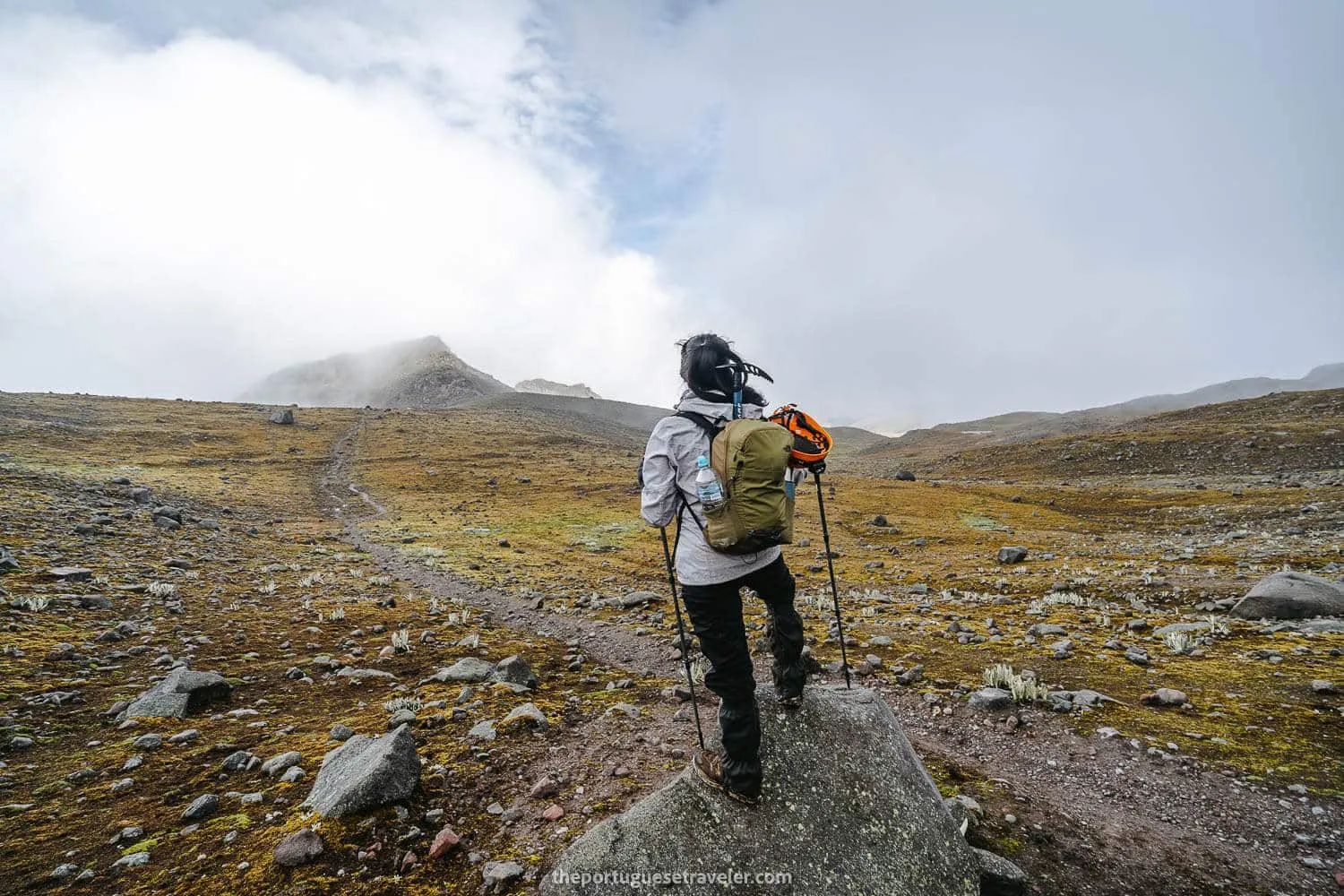
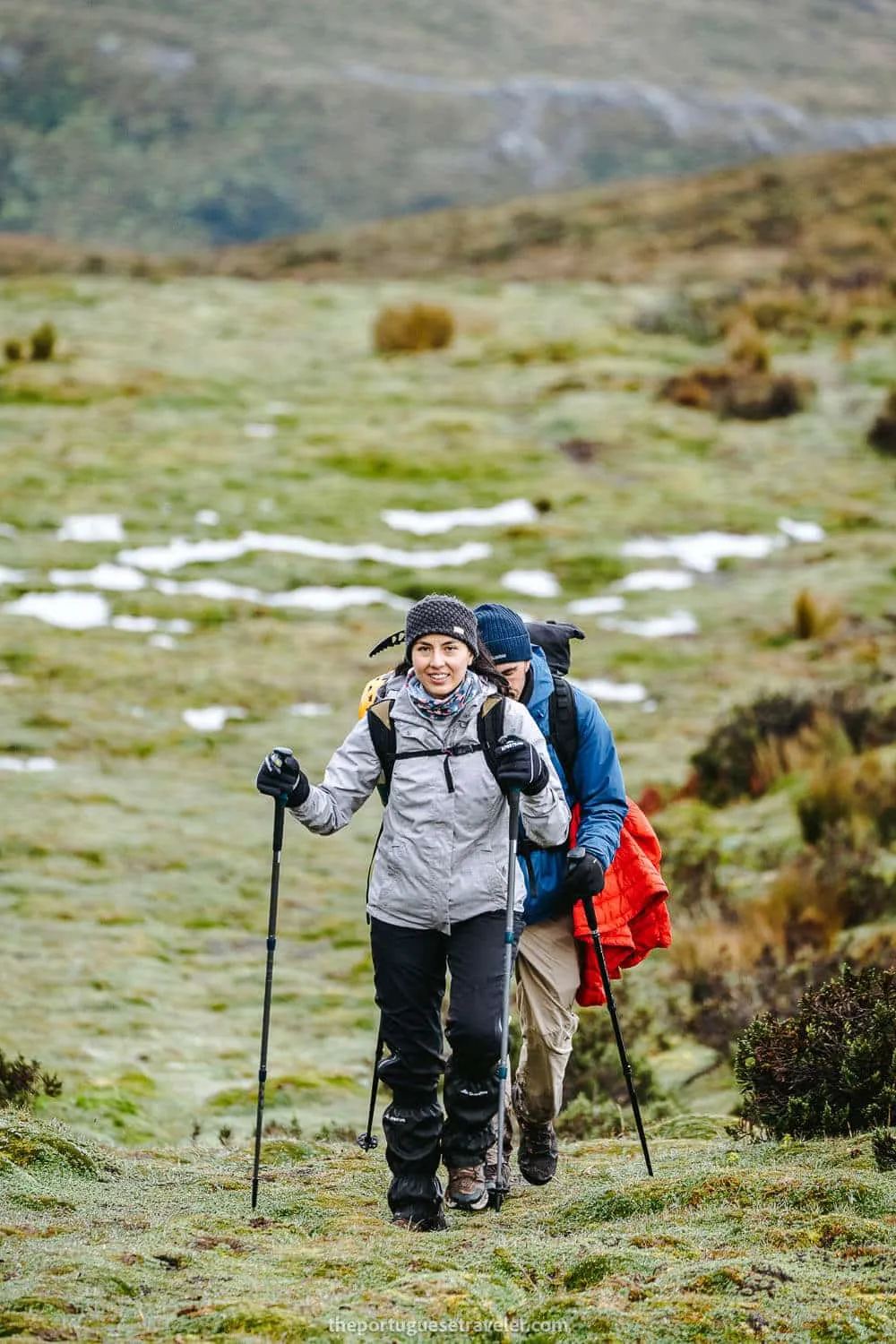
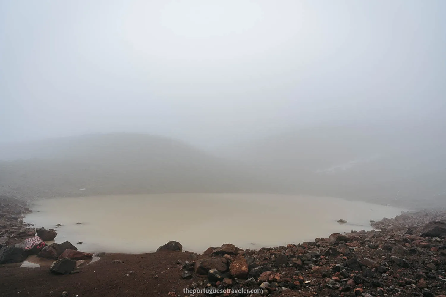
We set off from the parking lot and began our journey through the humedales (wetlands) at around 6 AM. As we made our way, the sky remained obscured by clouds, creating a mystical ambiance. After approximately one hour, we arrived at a lagoon, where we took a moment to have a snack and recharge before continuing our trek. The lagoon was partially shrouded in fog, adding an air of mystery to the surroundings.
Continuing our trek for two more hours, we finally reached the renowned glacier lagoon of Carihuairazo. While typically covered in snow during winter, the snowfall was minimal at that time. Interestingly, this location is often included in snowboarding tours due to the mountain’s pristine white landscape. A sign warned us that this glacier would be the first in Ecuador to completely disappear in the future due to global warming.
Around 10 AM, after some temporary disorientation caused by the dense fog, we found the official snowy path. Although the snow was soft, we managed to navigate it without needing to use crampons.
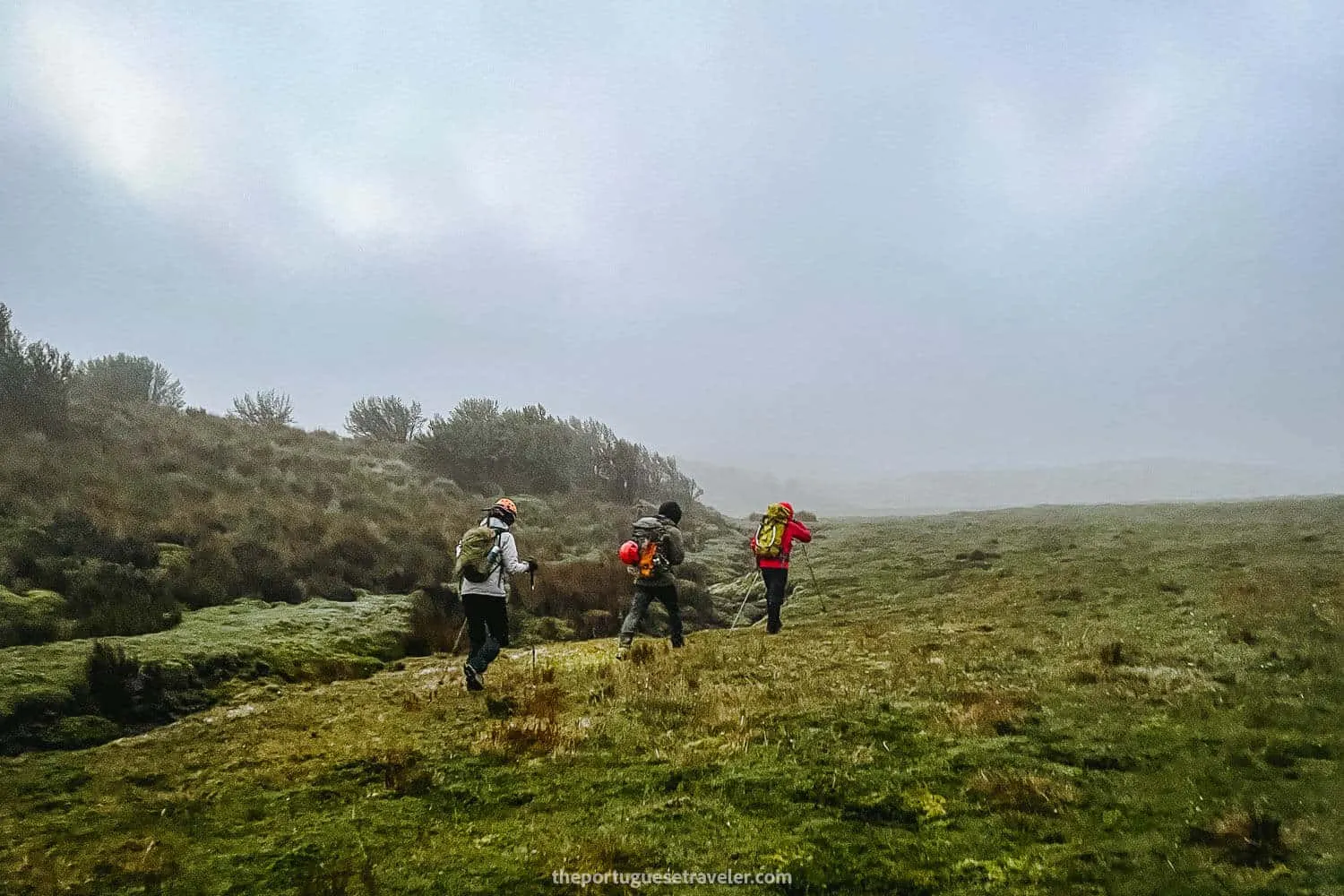
The beginning of the hike through the wetlands
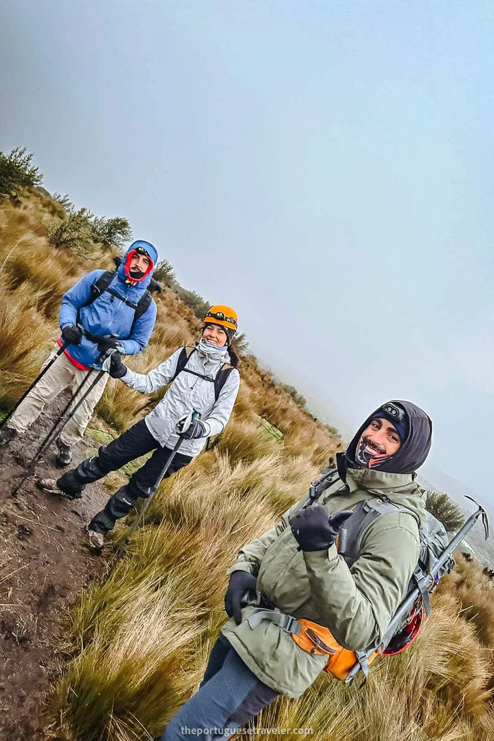
The group very motivated at the start
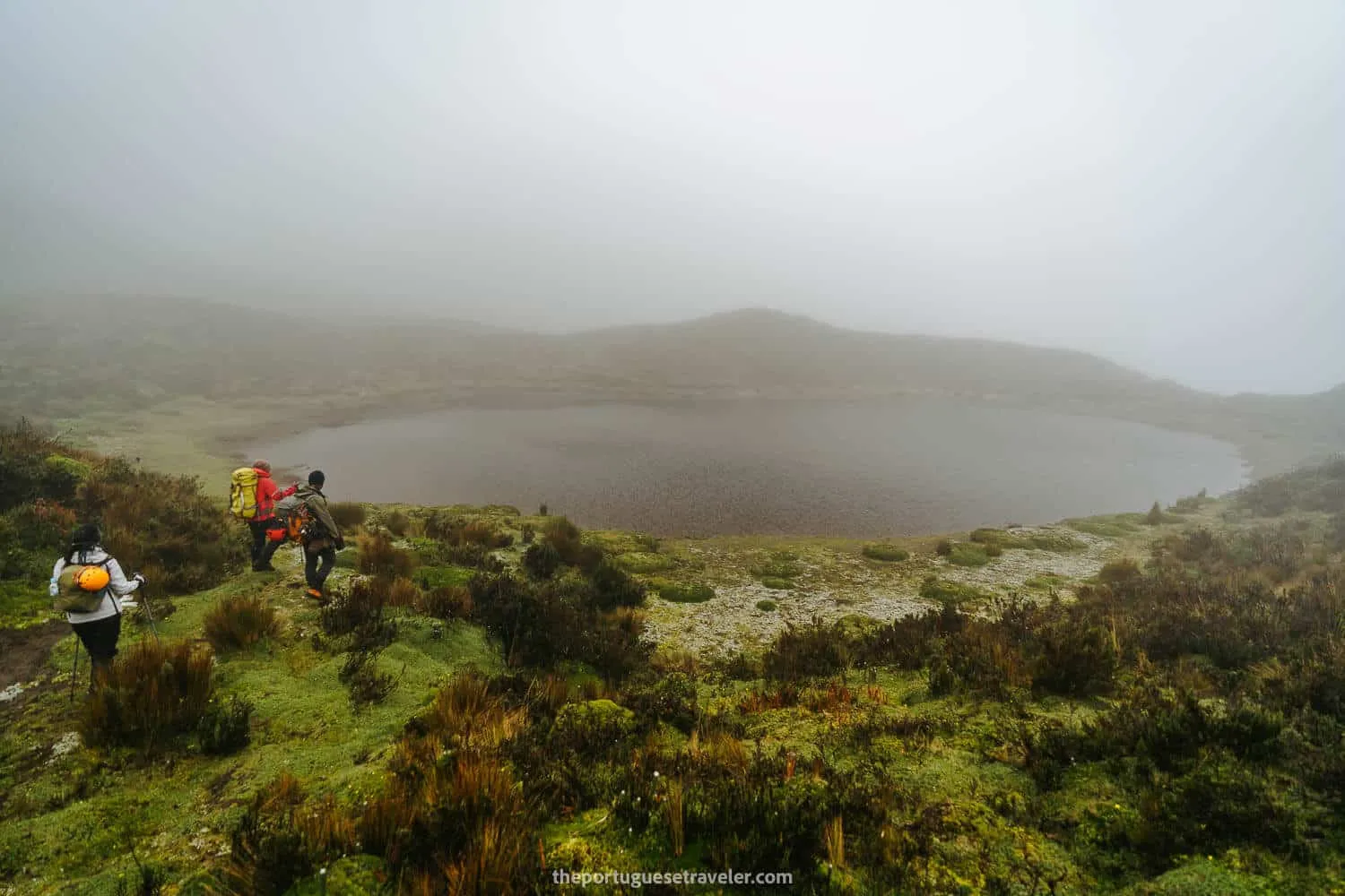
Arriving at the first lagoon for a break
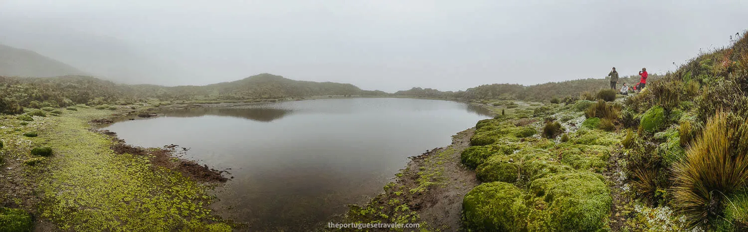
A panorama of the lagoon
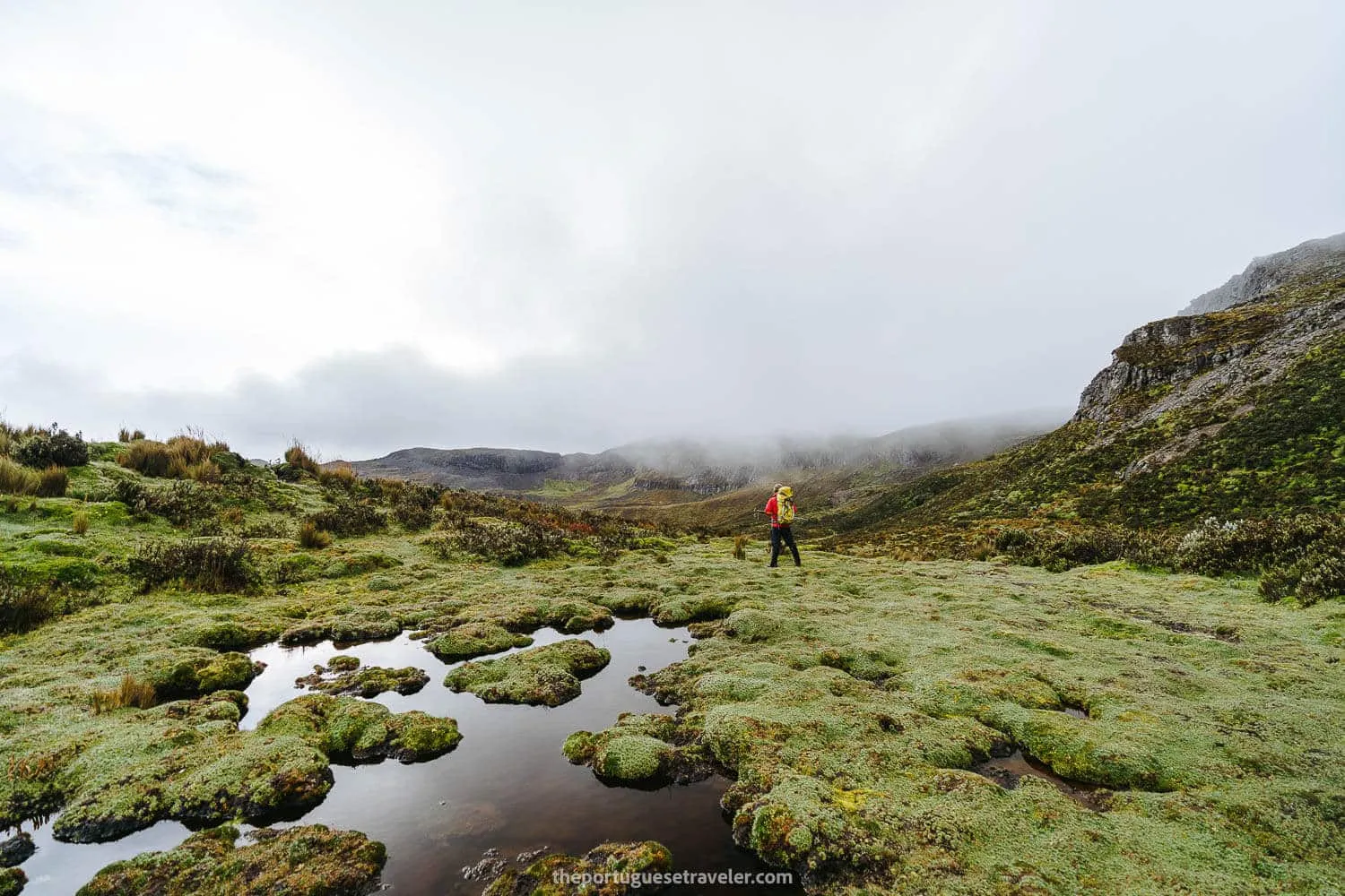
Leandro posing at the end of the wetlands section
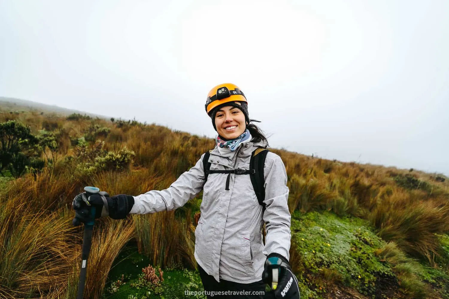
Jhos very happy after resting a bit
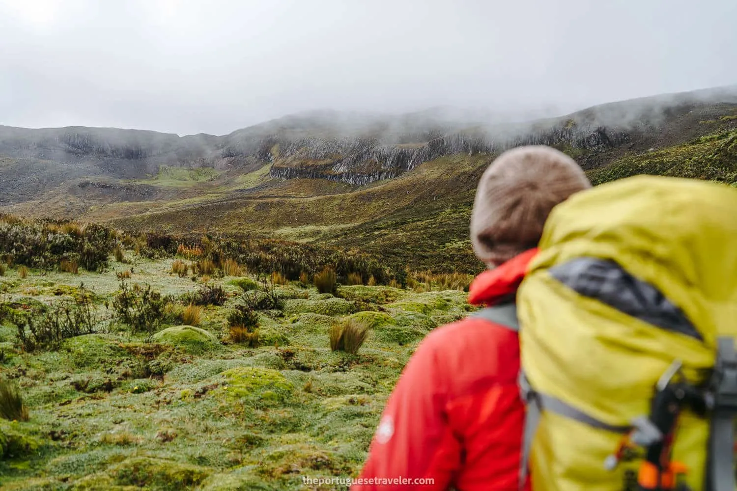
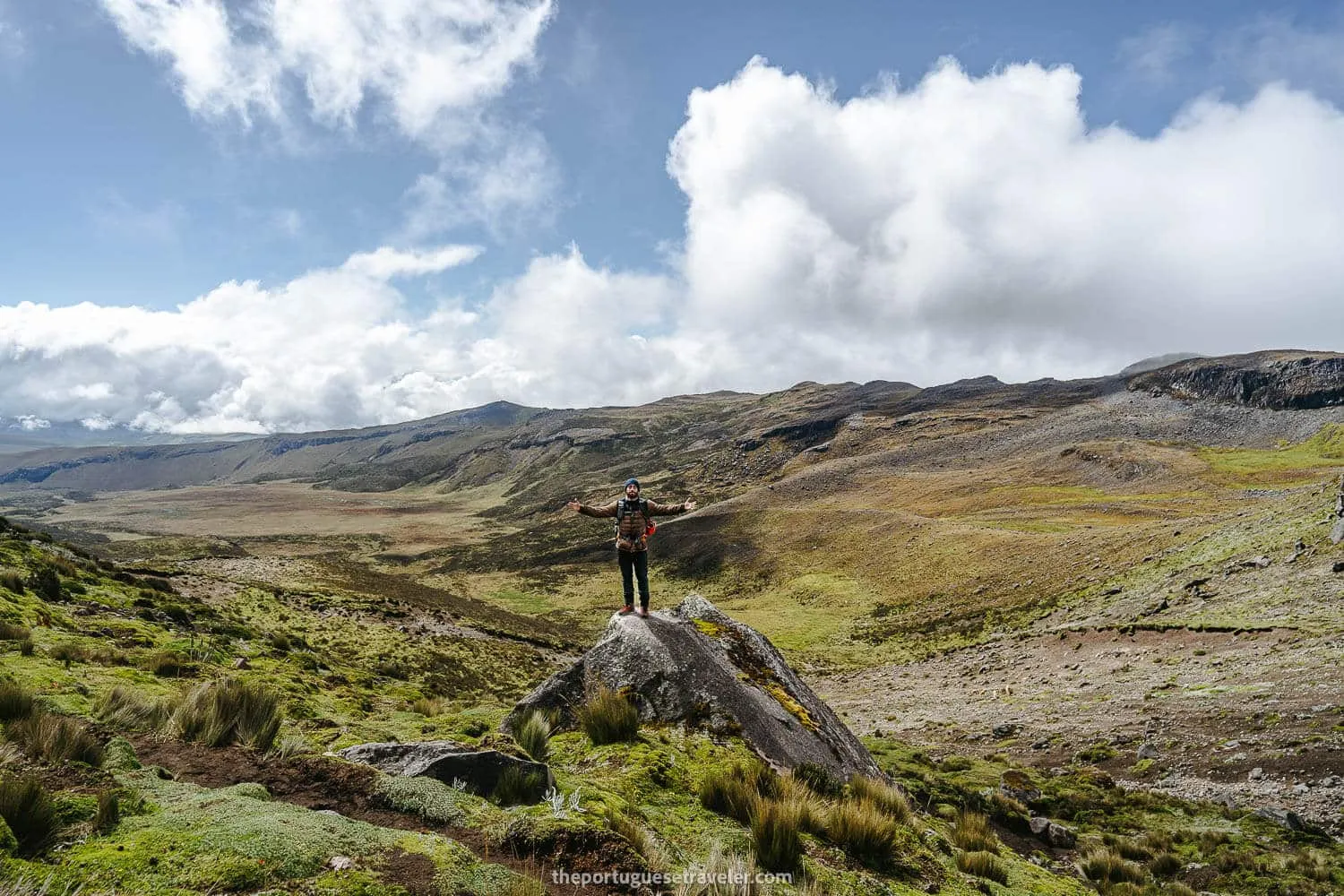
The landscapes of Carihuairazo
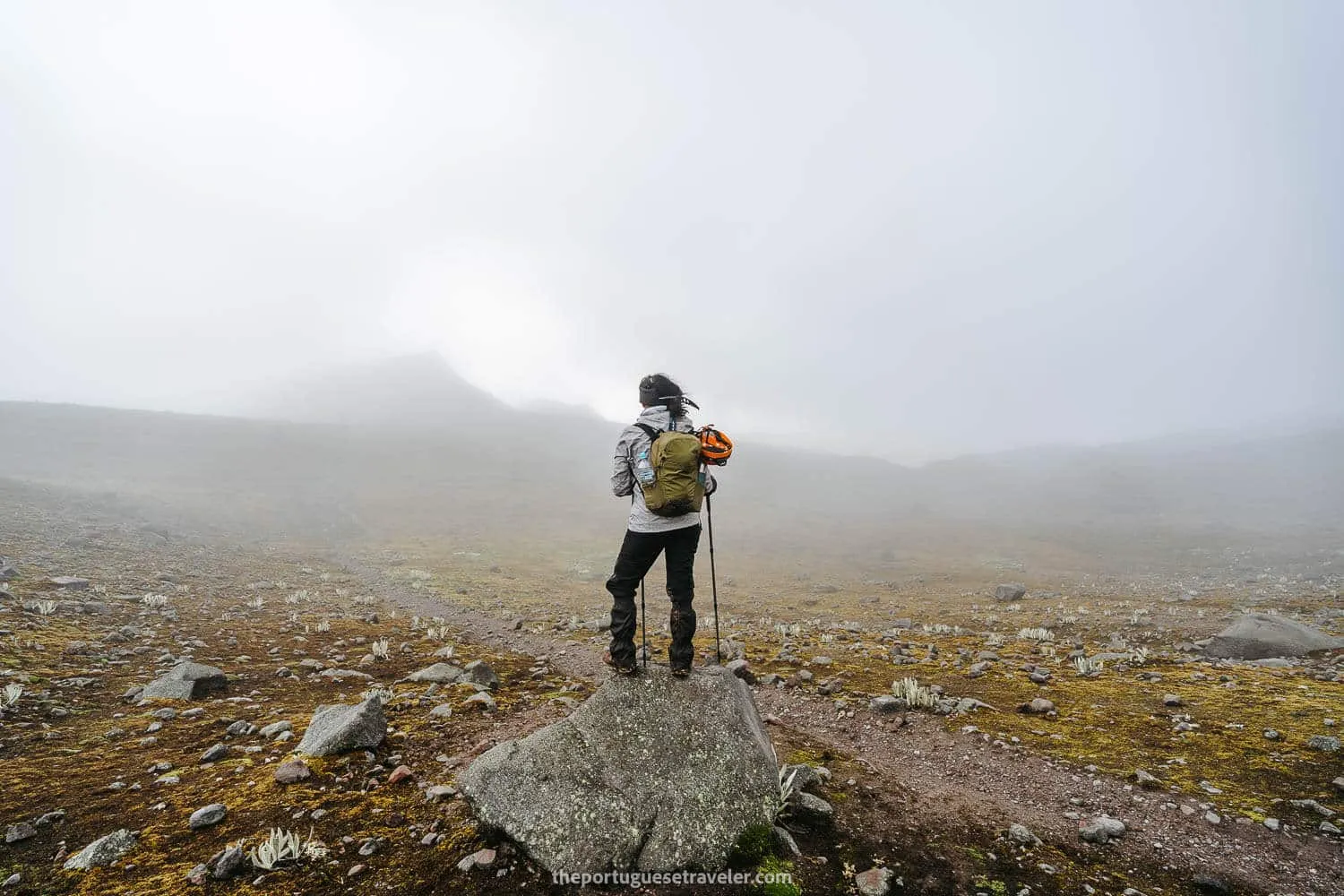
Epic cloudy hero shots with Jhos
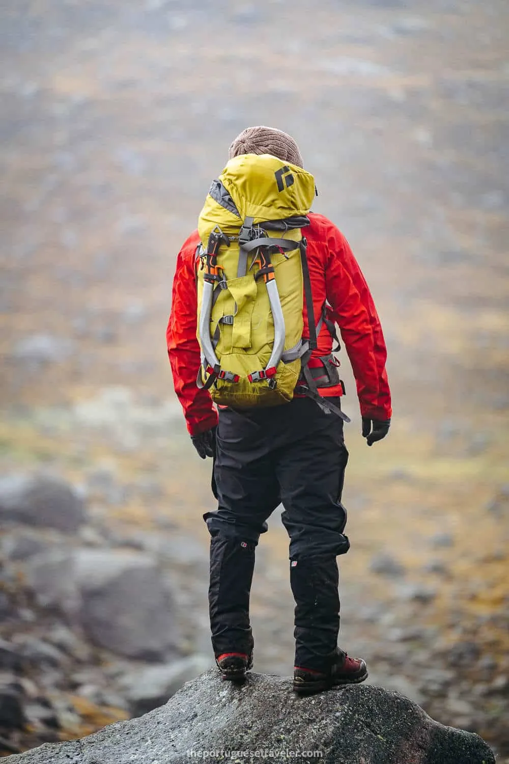
Leandro on its all-in Adventure mode
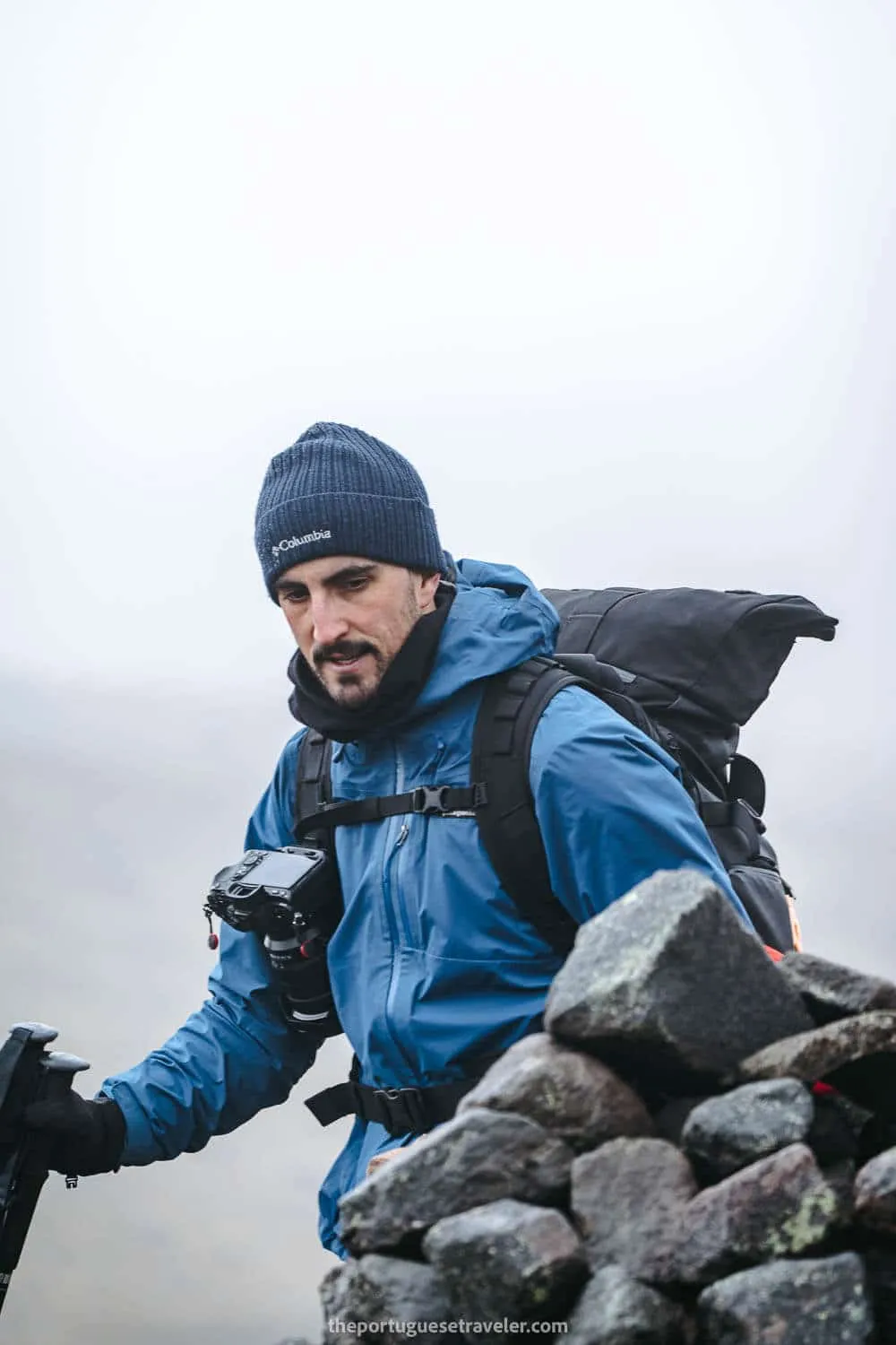
Me on a photographer grumpy mode
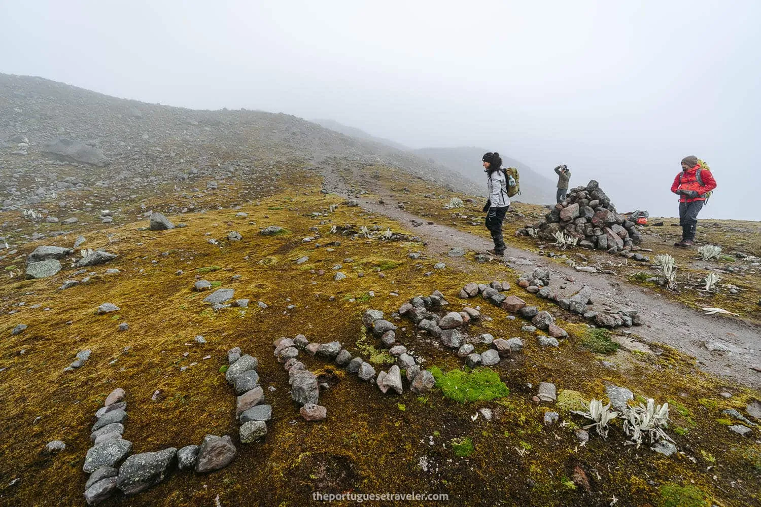
“Unite” meetup point for the groups to get together on extreme bad weather.
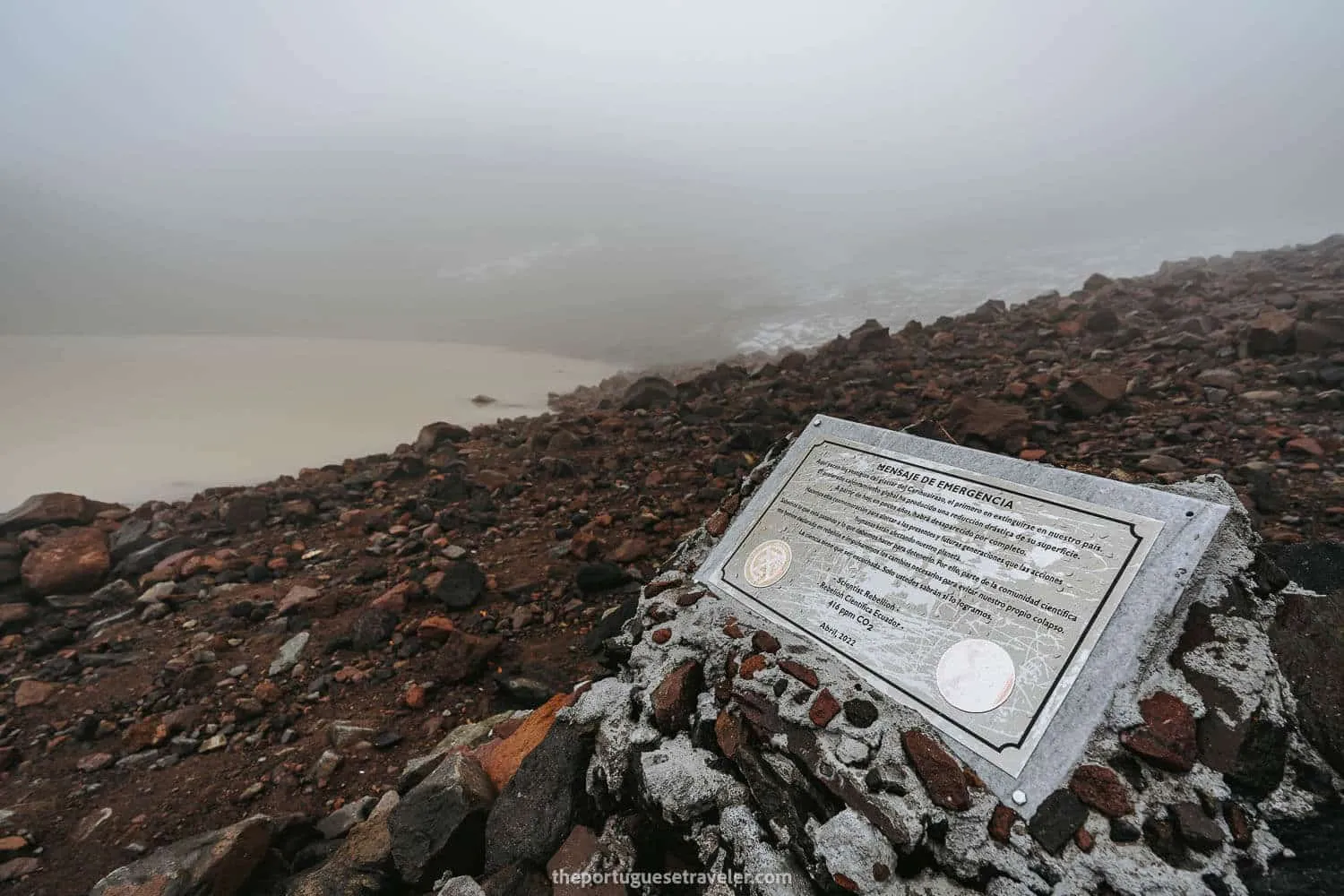
The glacier melting warning sign at the famous Laguna Congelada - Frozen Lagoon
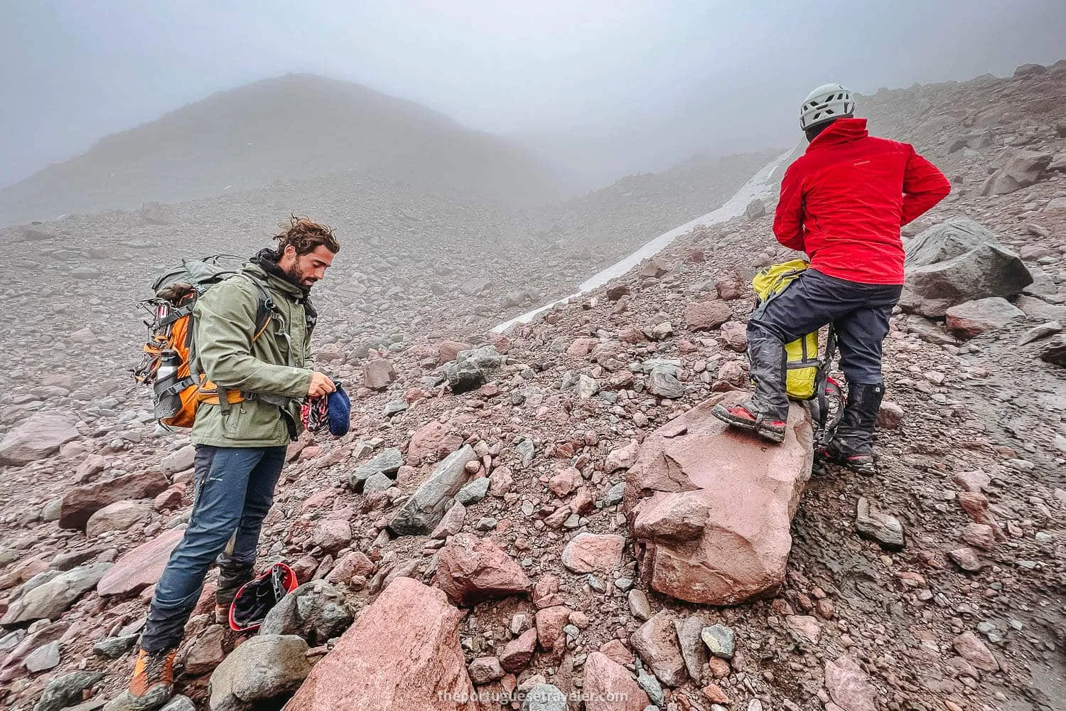
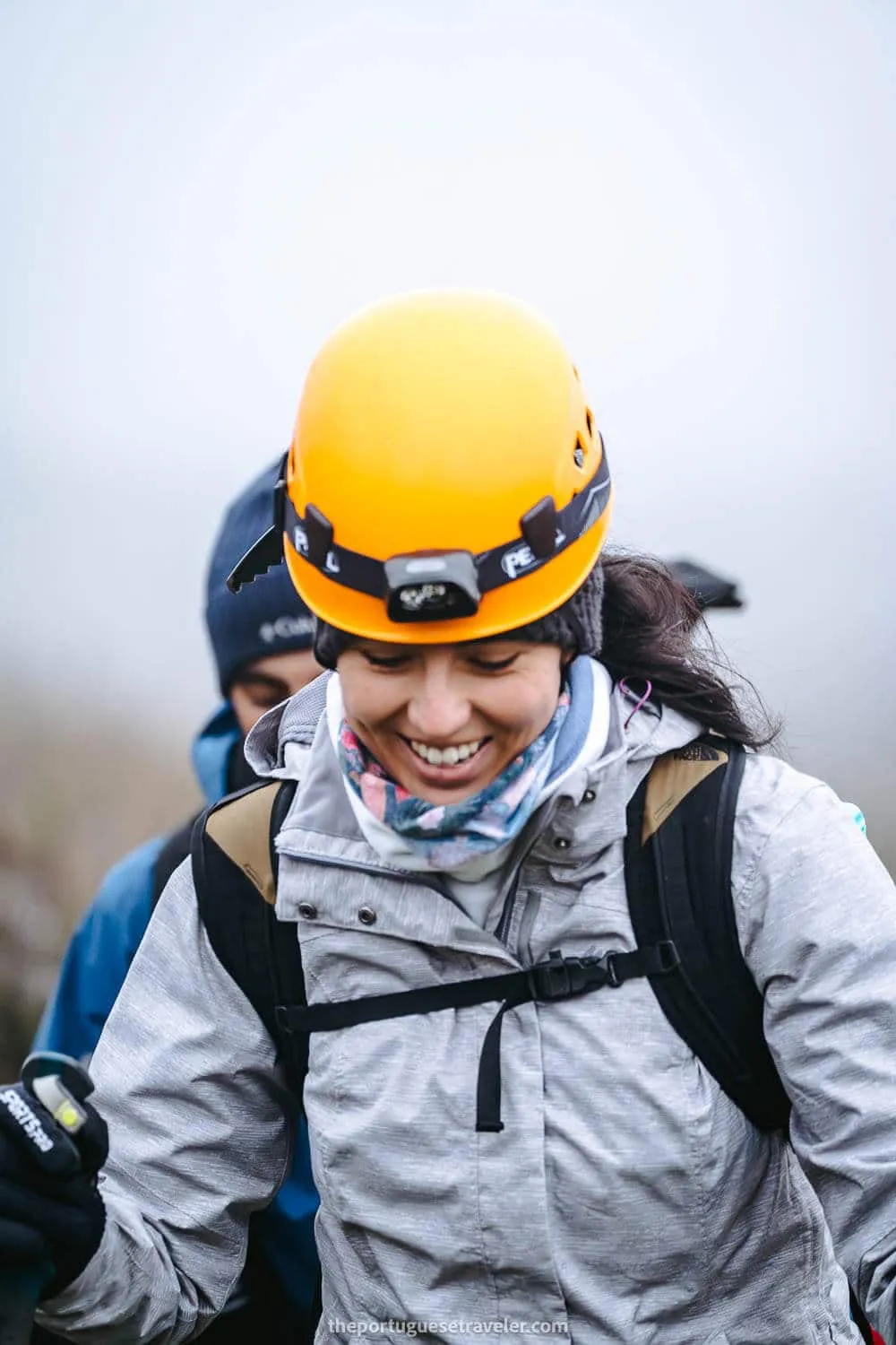
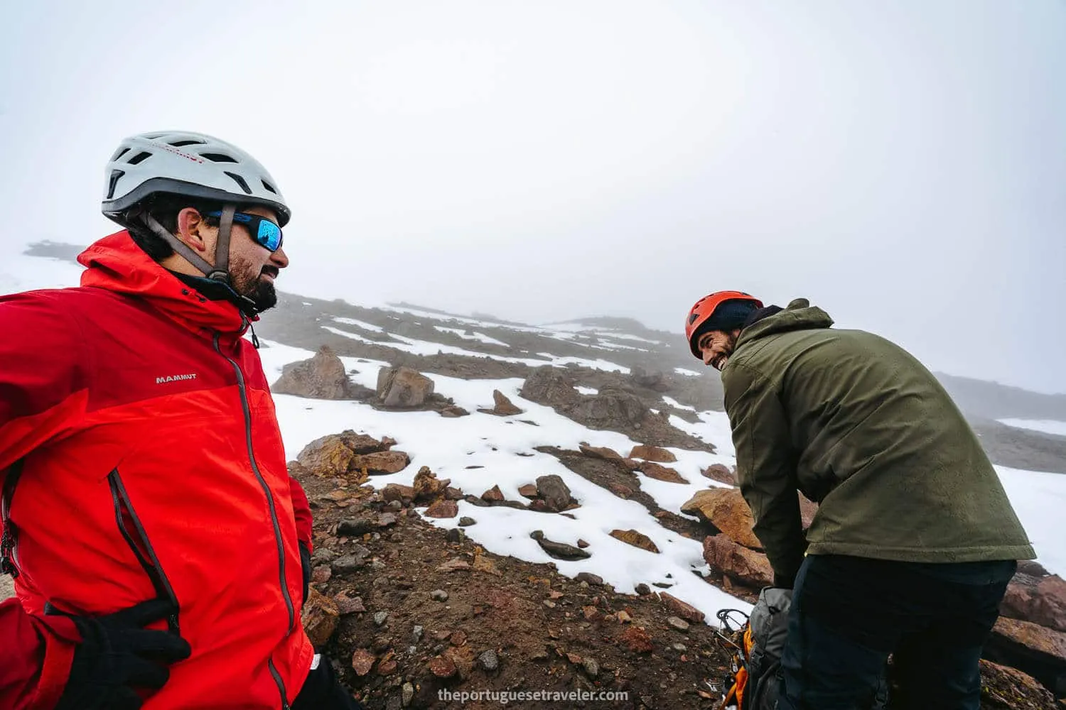
Placing the helmets before the snowy part
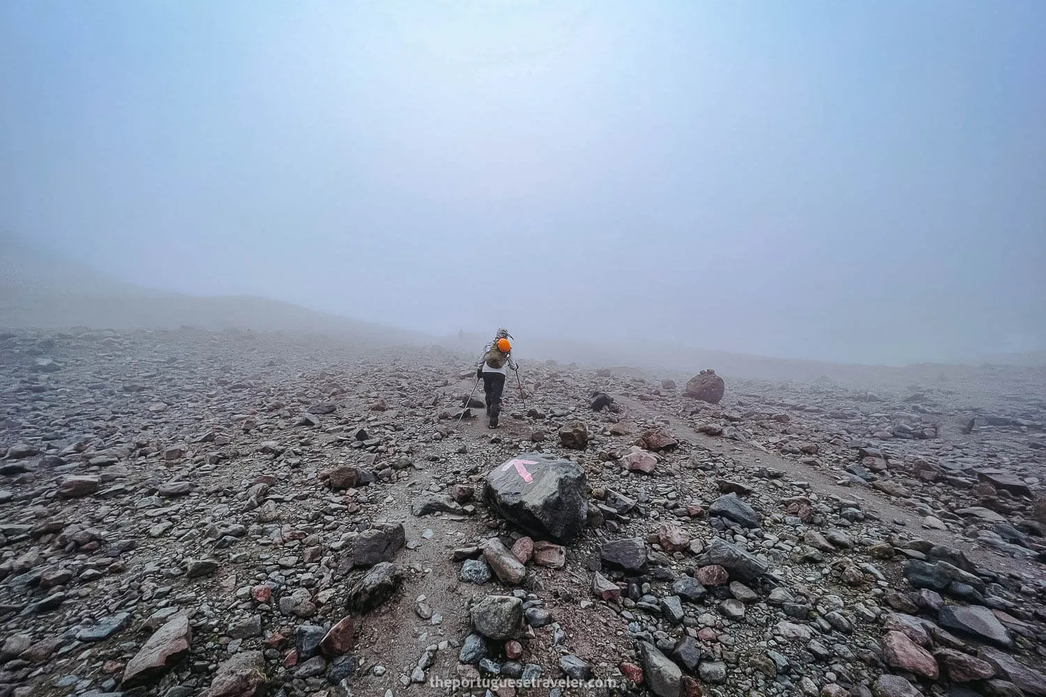
Following the signs while the fog set in
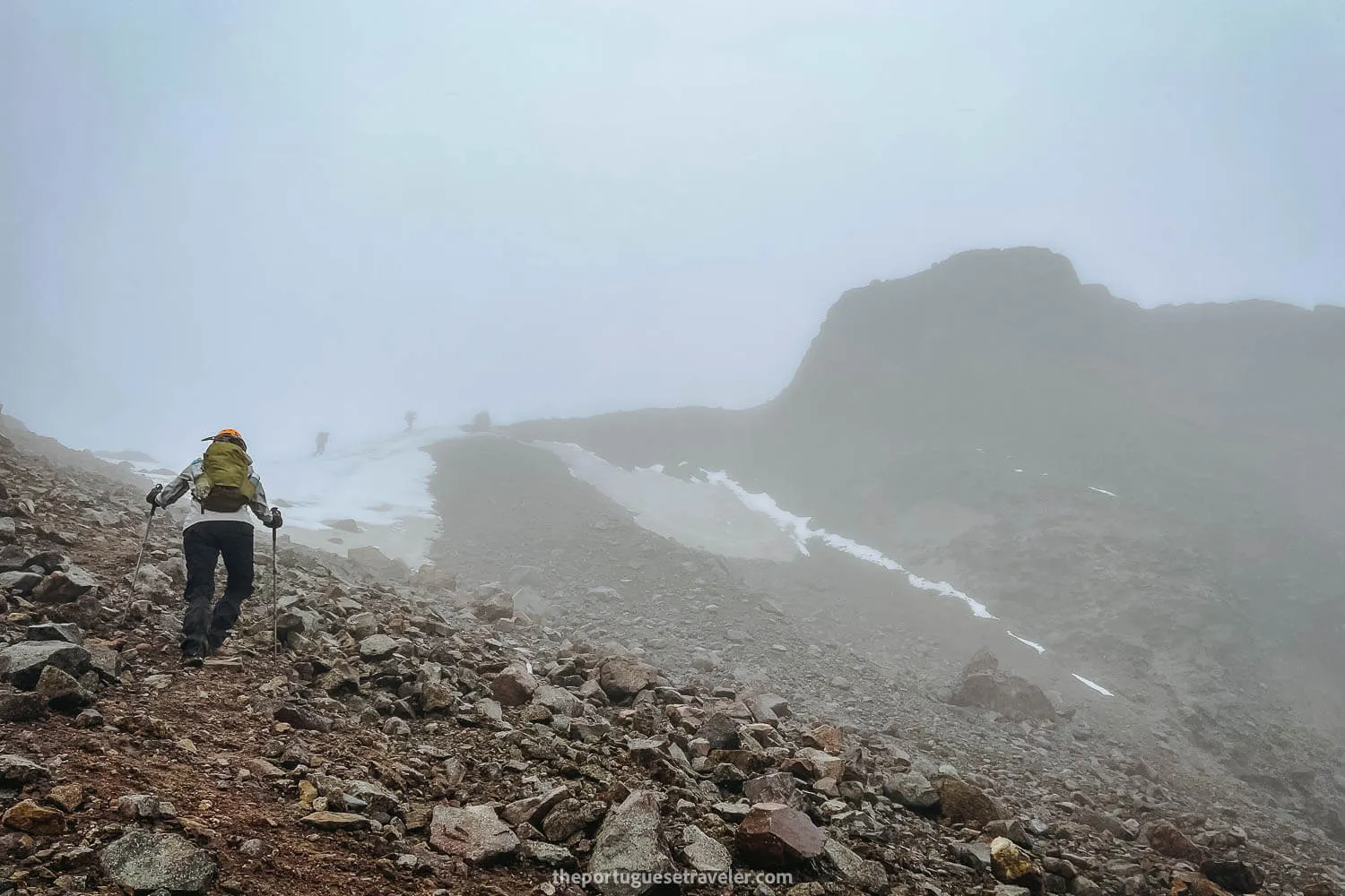
The first signs of snow while climbing Carihuairazo Volcano
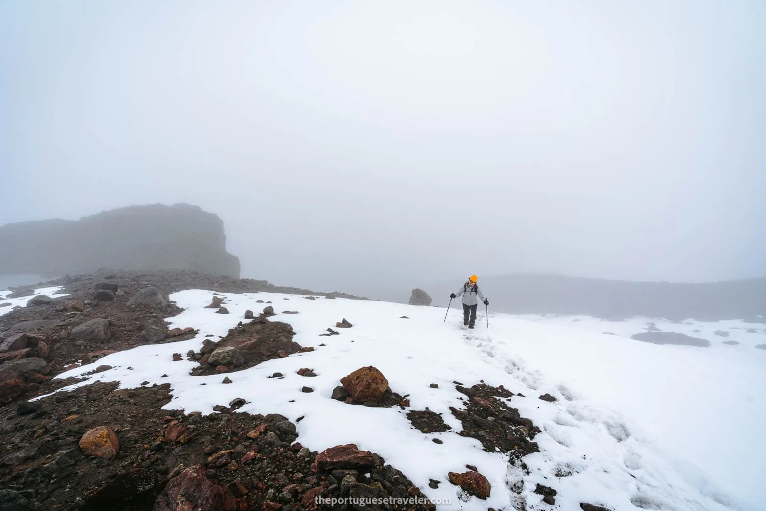
Jhos practicing her snow climbing skills
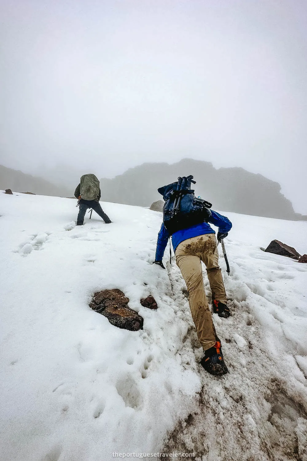
The steep section of snow using the Ice Axe
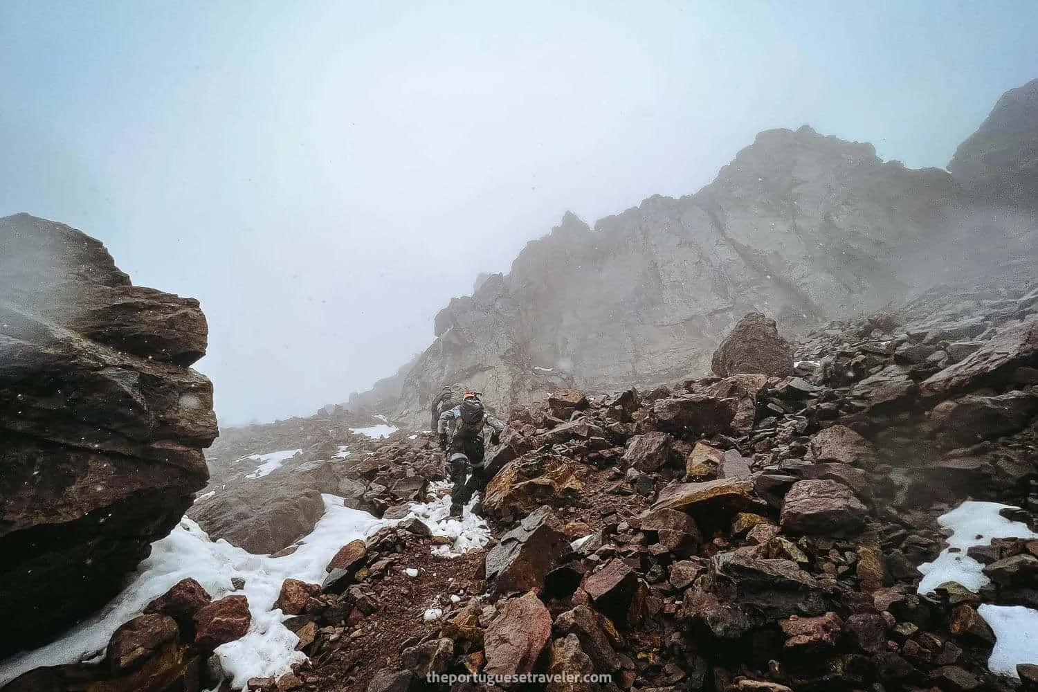
The Canaleta section of Carihuairazo
The summit of Carihuairazo Volcano completely covered in clouds
The Snowy Carihuairazo Summit Push
From this point, the trek began to pose a greater challenge, requiring some experience with snow walking and climbing.
Equipped with helmets, we commenced our snow walking. Initially, we could simply walk on the snow, kicking our feet inside to avoid sliding. However, as the terrain grew steeper, particularly before reaching the challenging section known as the “canaleta” (small channel), we started using our Ice Axe as trekking poles. This provided better stability and allowed us to assess our grip in the snow, balancing our weight effectively.
After navigating the snowy portion, we encountered the canaleta, where we had to don harnesses due to loose rocks and the difficulty of ascending without sliding. With our harnesses secured, Leandro guided us by setting our carabiners. He proceeded ahead to secure a position in the steep section, offering support and pulling us up. With careful hand placement, sturdy footwear, and a sense of stability, I successfully made my way to the top of the canaleta without requiring assistance. I then assisted Leandro in providing rope to Jhos, enabling them to overcome this challenging section.
We ventured towards the final stretch of the climb, which proved to be much easier than the previous segment. Within 10-15 minutes, we reached the summit, although it was shrouded in dense clouds. Regrettably, there was no sight of Chimborazo or any other landscapes. While it was an incredible feeling to be atop the summit, it was disheartening that we were unable to witness the surrounding scenery.
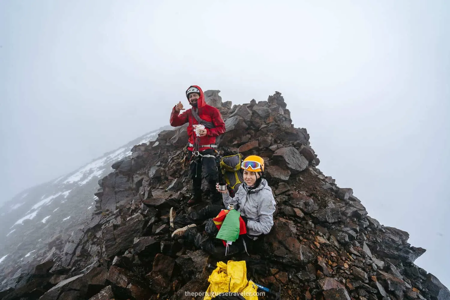
After enjoying some snacks and capturing photos with the Portuguese flag, we began our descent. Fortunately, we experienced no headaches or issues related to the altitude, thanks to our prior acclimatization efforts.
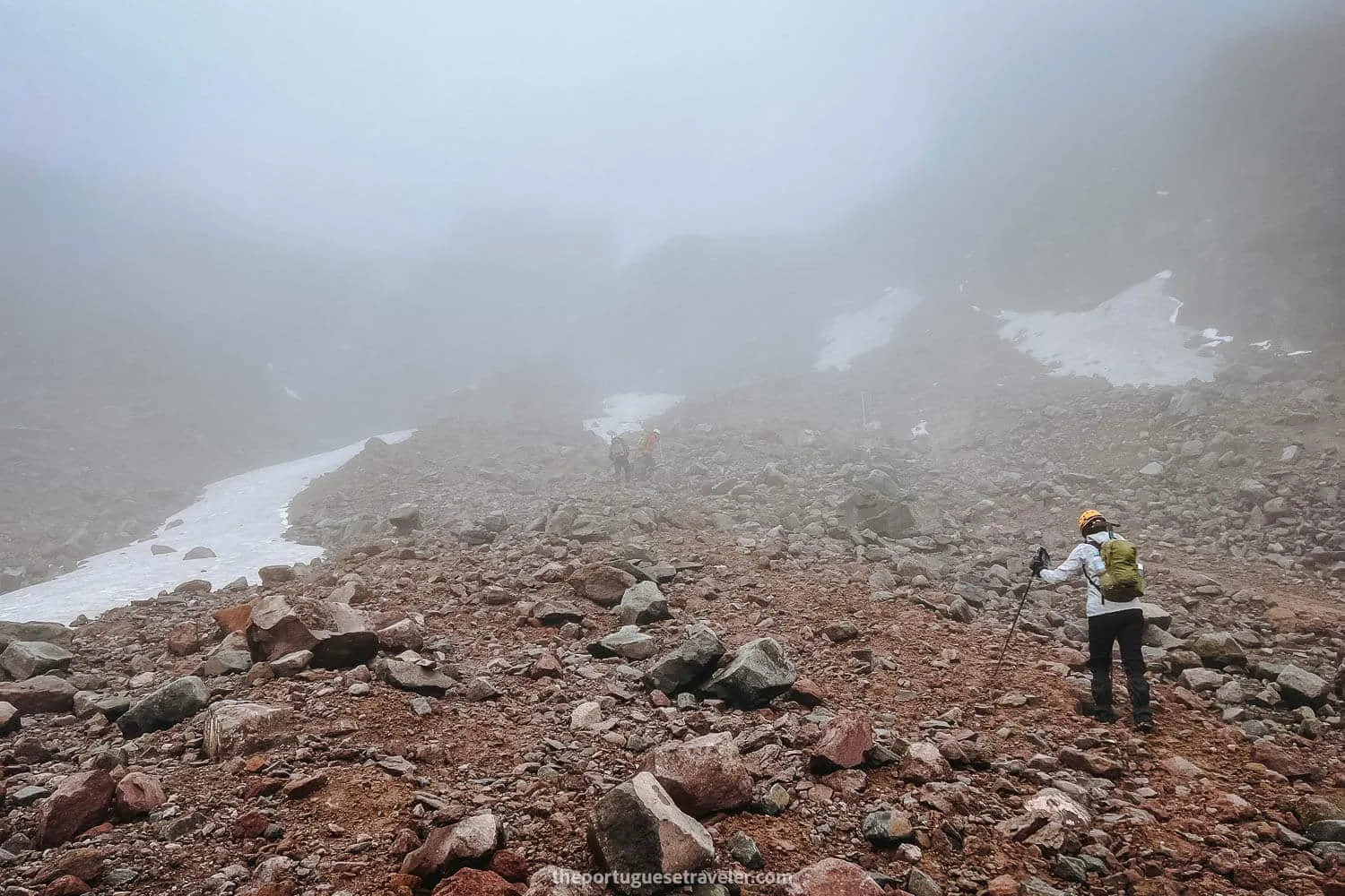
The wrong path when we got lost and head onto the section between two of the summits
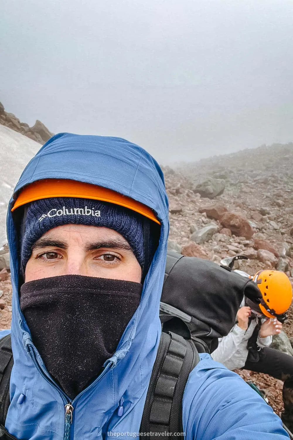
Me and Jhos resting until Leandro found his way again
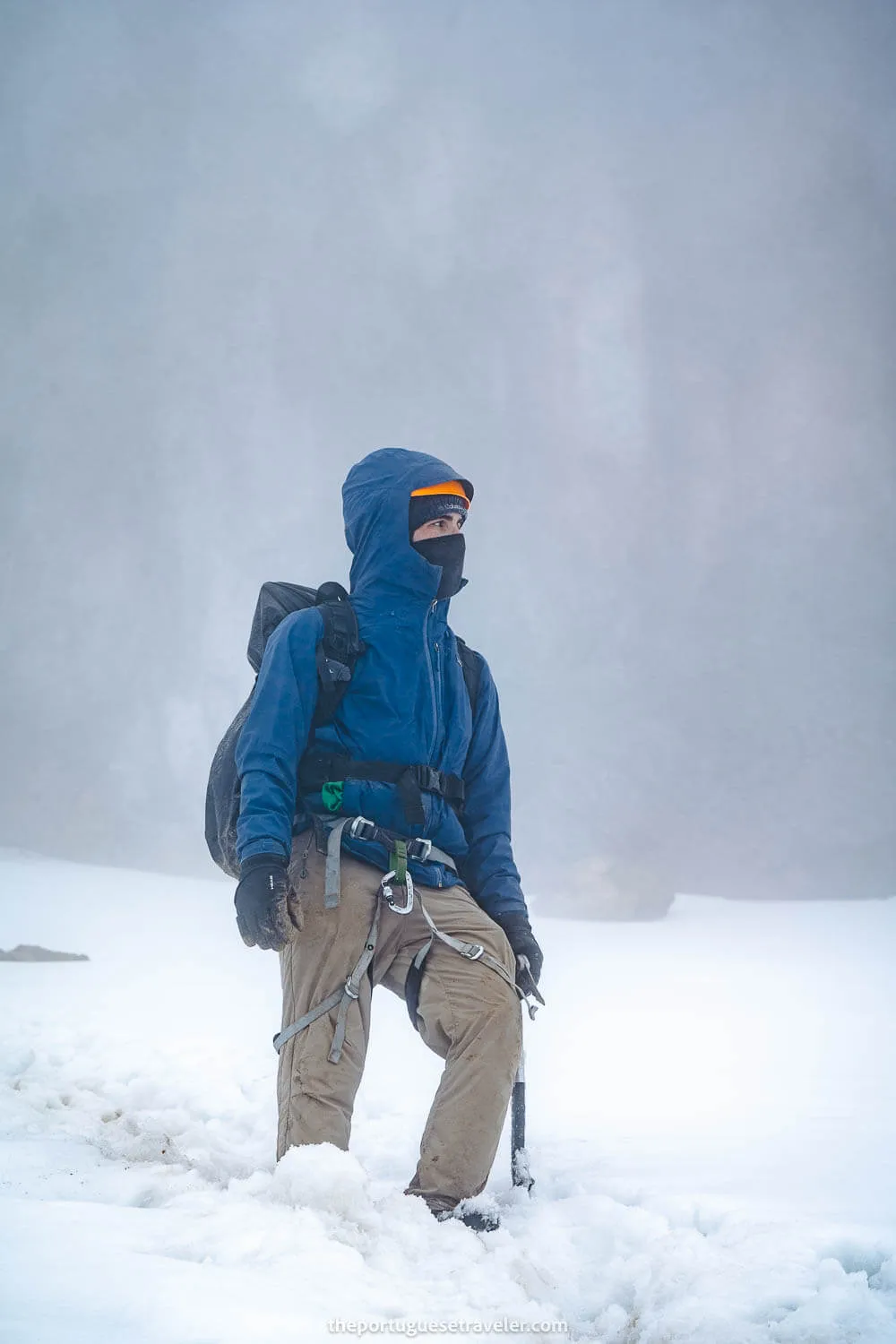
Me trying to look cool while on the steep snowy section
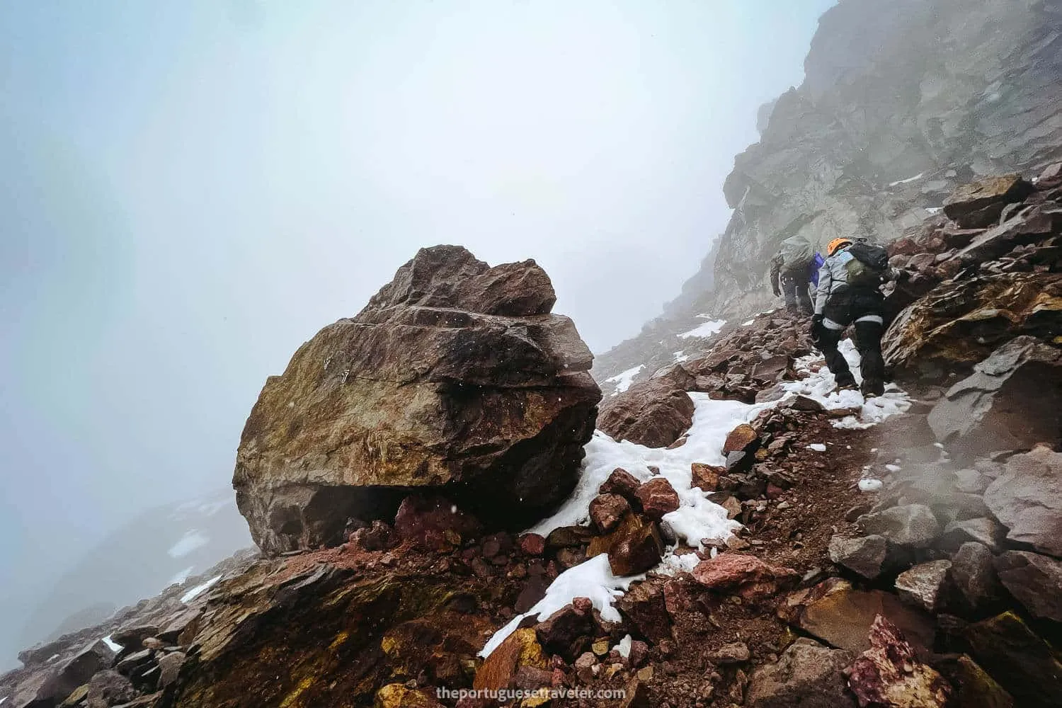
Trying to survive the canaleta section of Carihuairazo
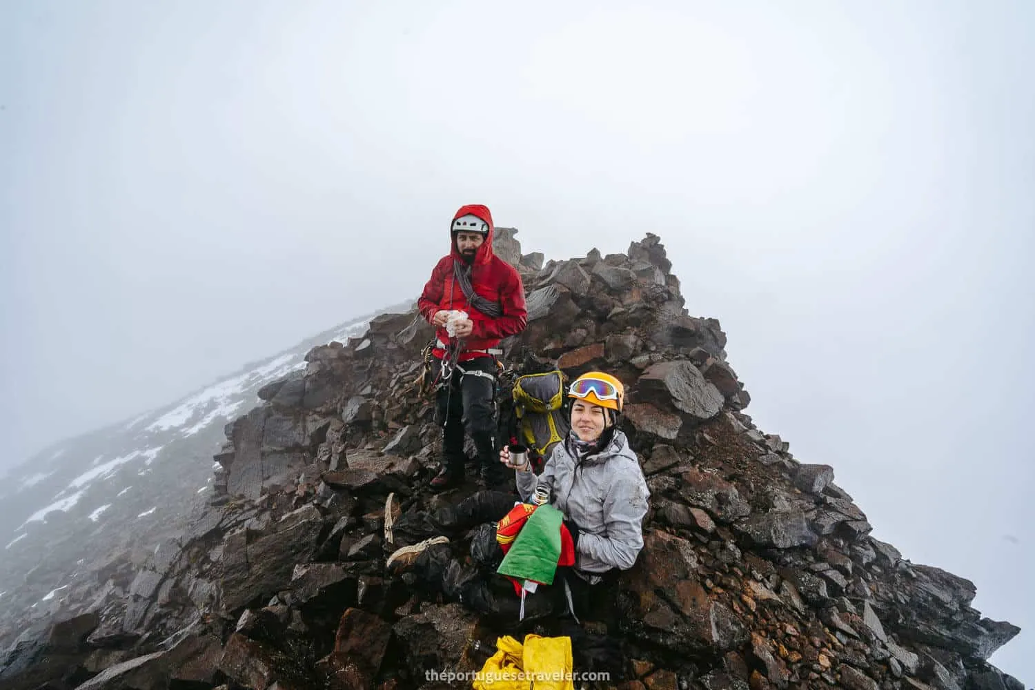
The first shot at the summit of Carihuairazo
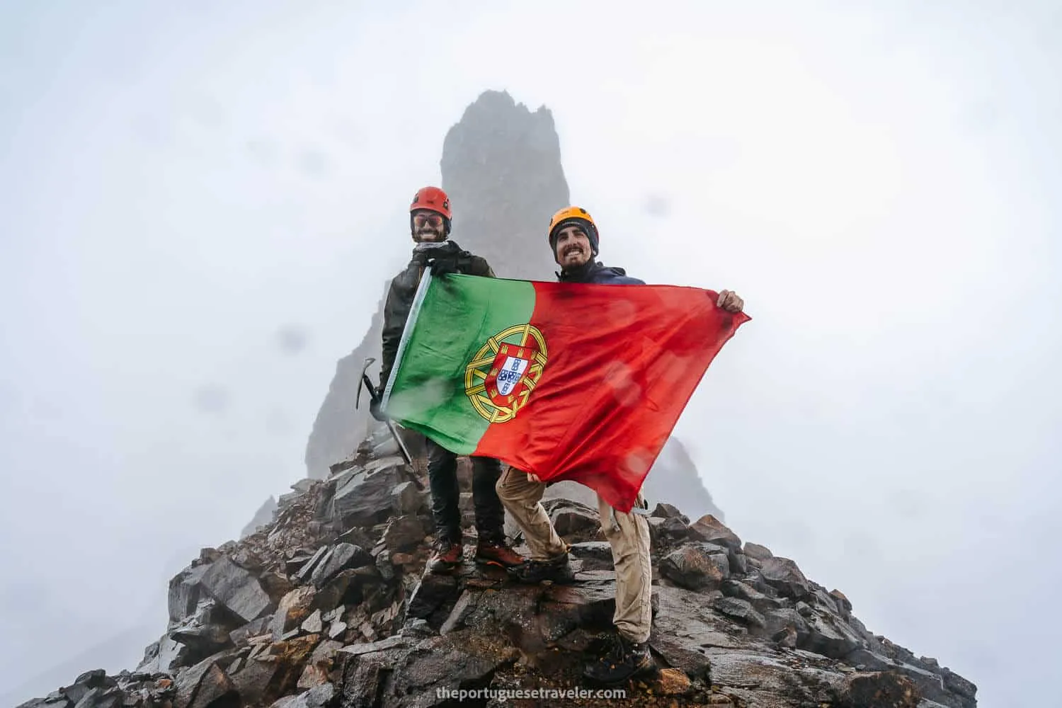
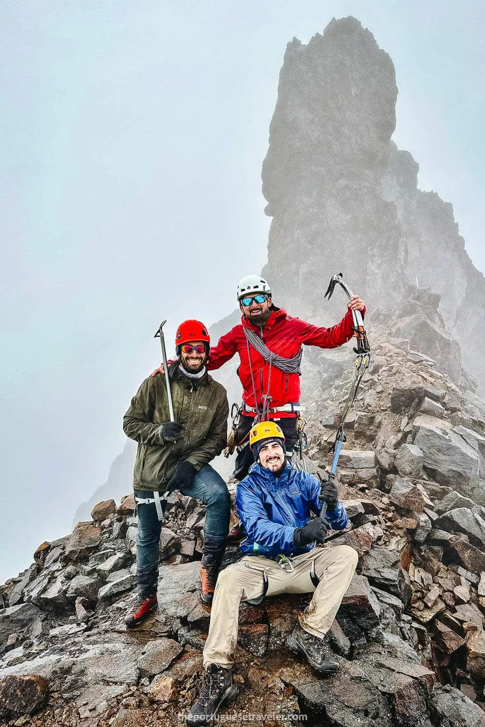
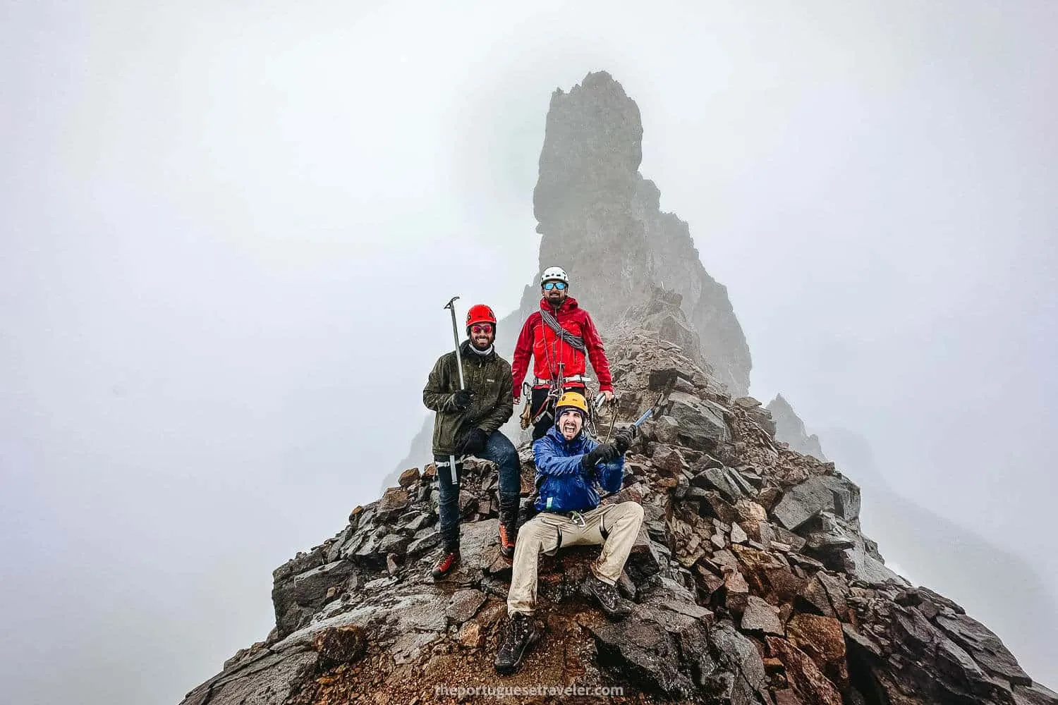
The Portuguese gang at the summit with the “finger” behind us
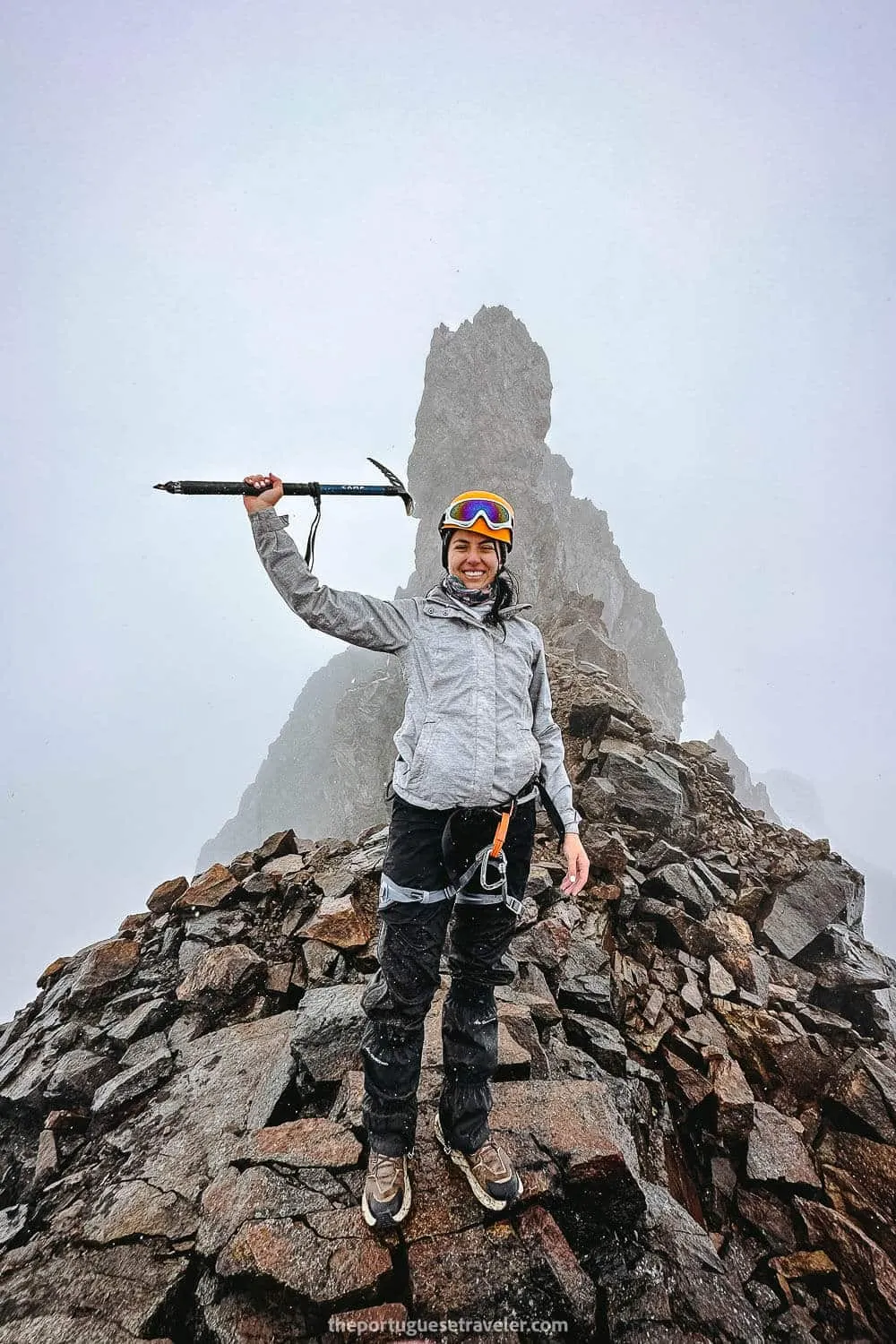
Jhos at Carihuairazo’s Summit
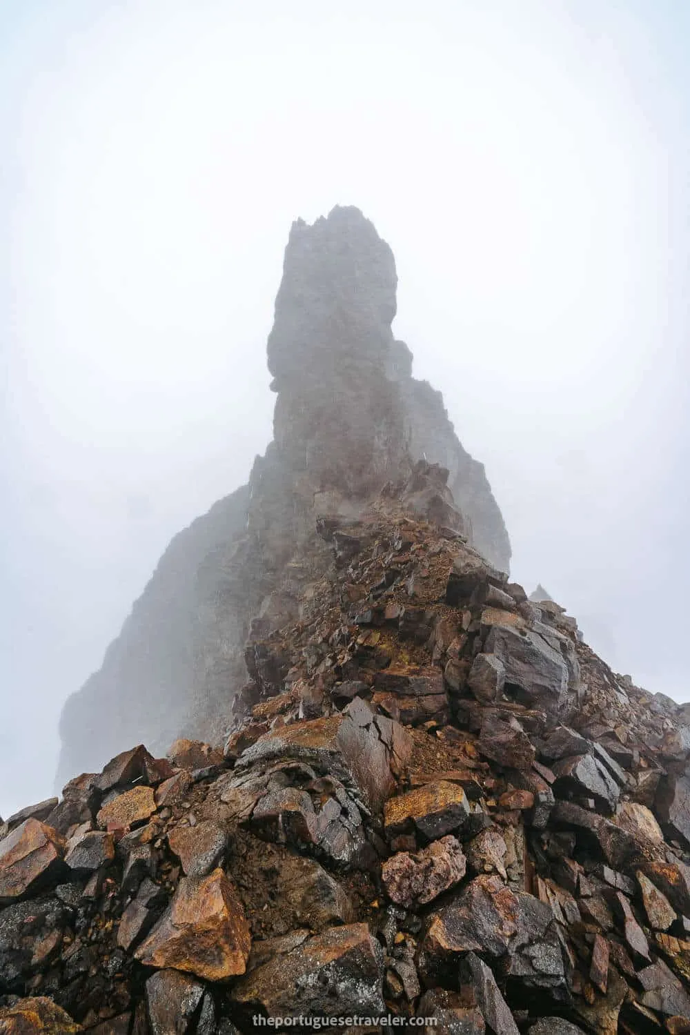
El “dedo”. The highest point of Carihuairazo.
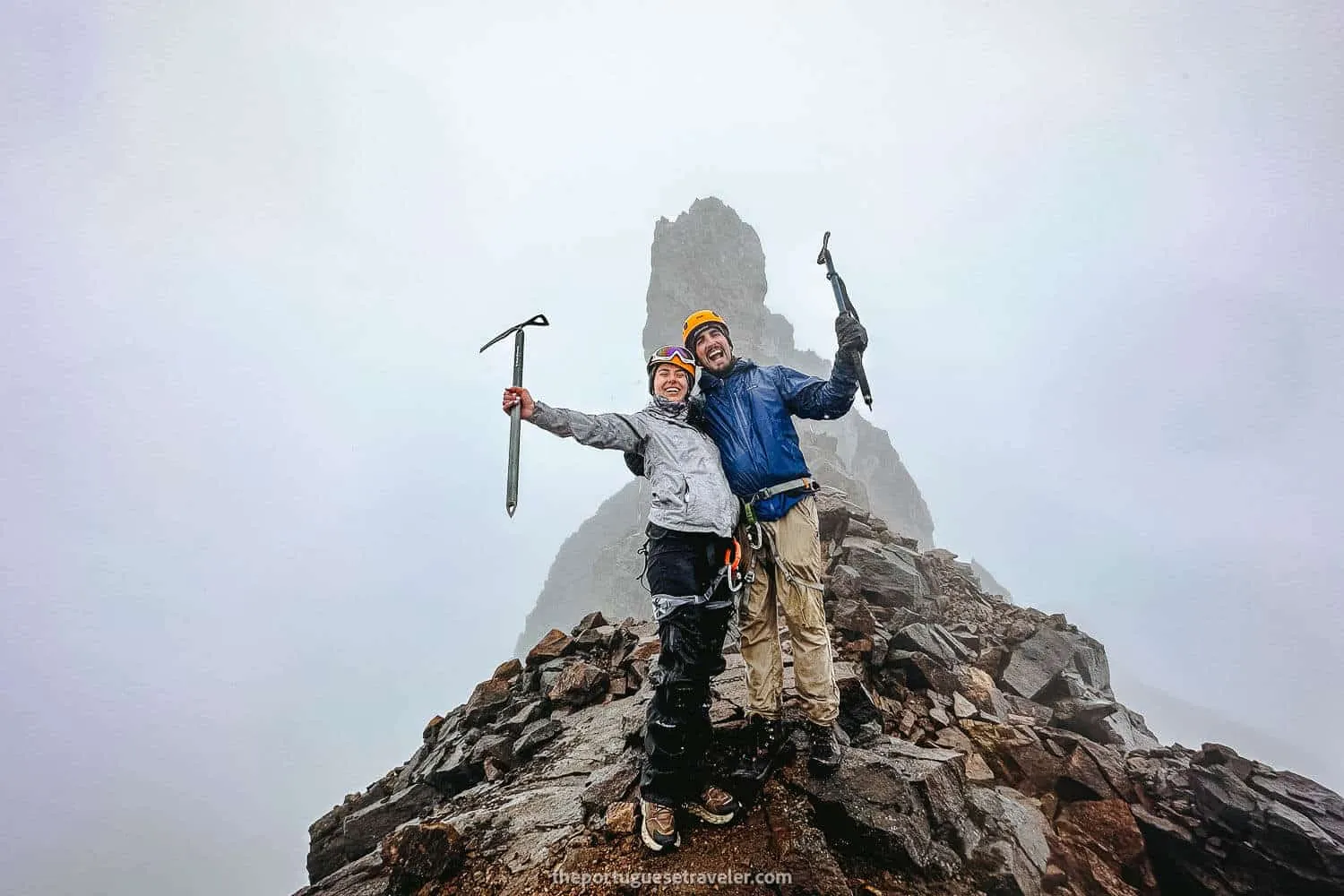
Me and Jhos at the summit
Clear Skies while Returning to the Refuge
As we began our descent, the sky gradually started to clear up, but only after the snowy section.
Miguel decided to take a different approach and slid down the snow on his rear, opting for a quicker descent. Intrigued by his adventurous spirit, I joined him, and we swiftly navigated the snowy terrain in approximately 15 minutes. We waited for Leandro and Jhos, who encountered some difficulties with the snow.
Reaching the lagoon, we continued our journey back, and to our amazement, the landscape underwent a dramatic transformation. The entire scenery opened up, revealing glimpses of Chimborazo and even Carihuairazo. Even the summit became visible as we descended. It was disappointing that we couldn’t experience these stunning views from the top. Nonetheless, the sight of numerous vicuñas added to the natural beauty. After capturing countless photos and walking a bit more, we finally reached the car, utterly exhausted.
Our next stop was the Refuge, where we dismantled our tents, grabbed a bite to eat, and witnessed the remarkable sight of Chimborazo completely free of clouds. Taking advantage of the clear skies, we flew the drone, capturing stunning landscapes. Reluctantly, we bid farewell to the reserve, but not before encountering dozens of llamas and capturing striking photos with Chimborazo as a majestic backdrop. As the sun began to set, we embarked on a twilight drive around Chimborazo, capturing even more incredible images.
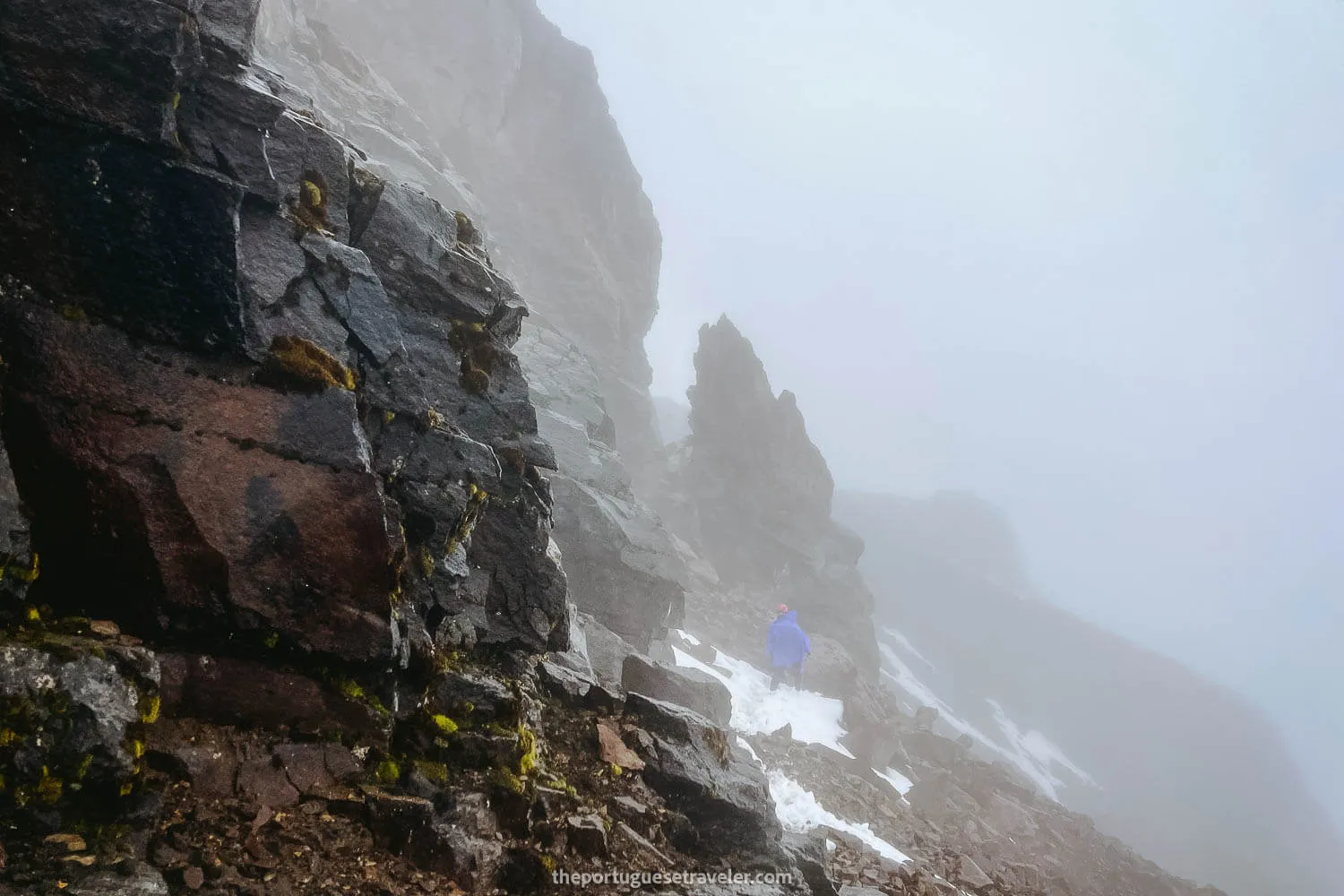
The way down from the summit
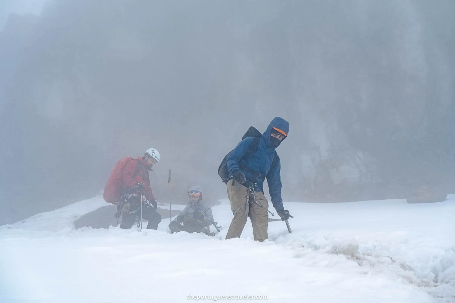
Hard times coming down Carihuairazo’s snow section
The views clearing up on the way down
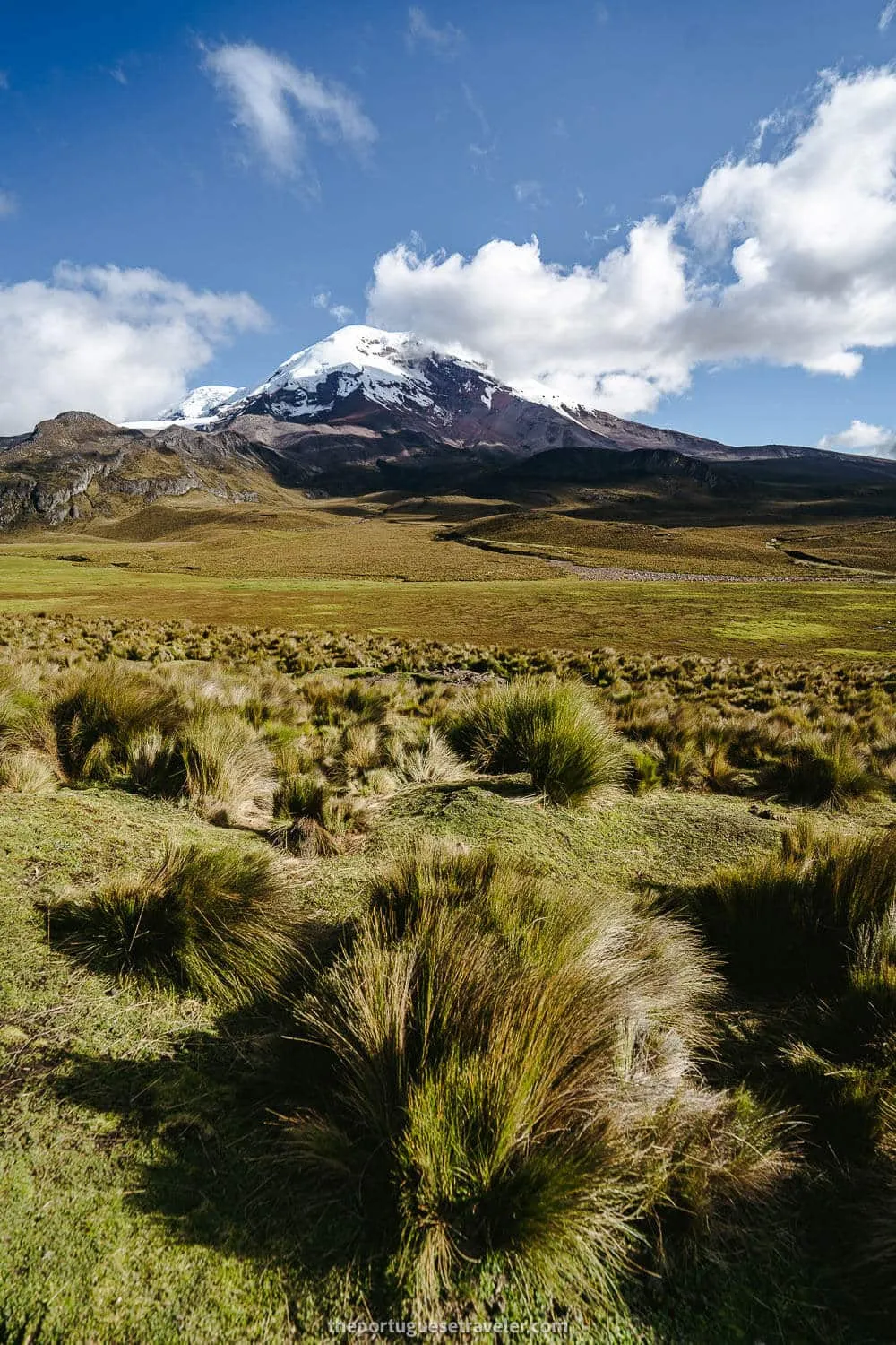
Chimborazo greeting us on our way back
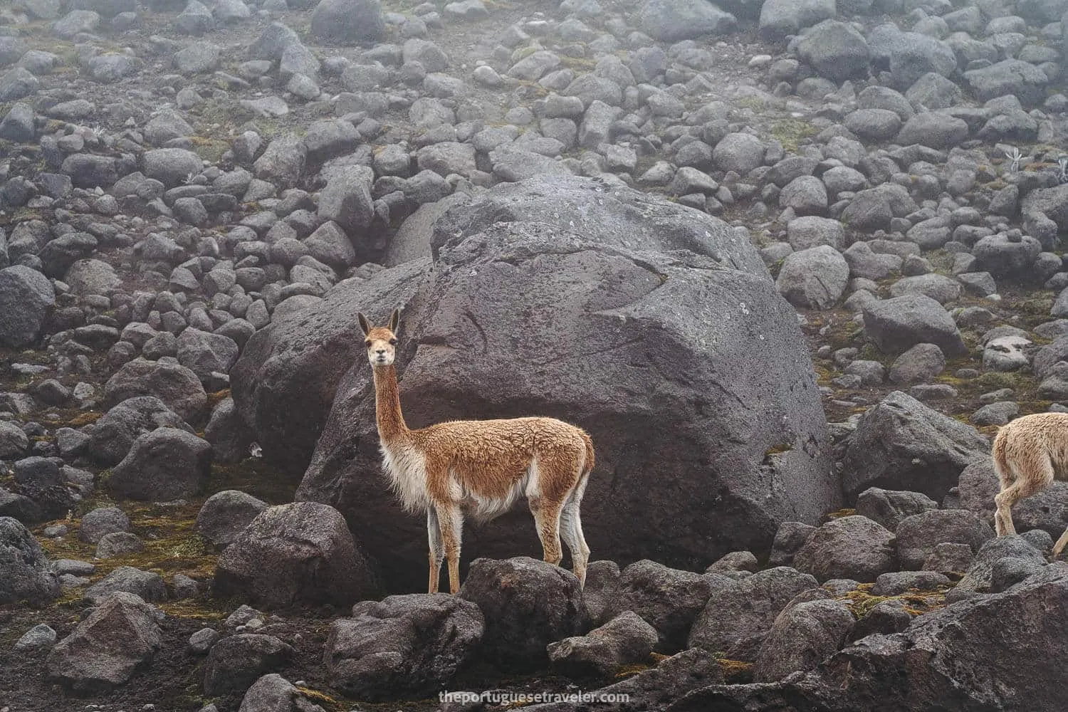
One of many vicunas greeting us too
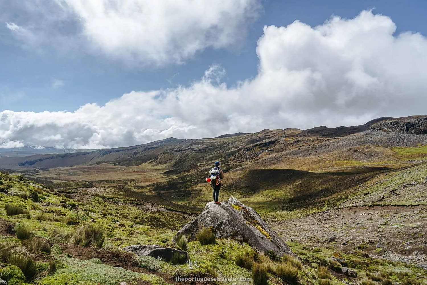
Miguel enjoy the views of the reserve
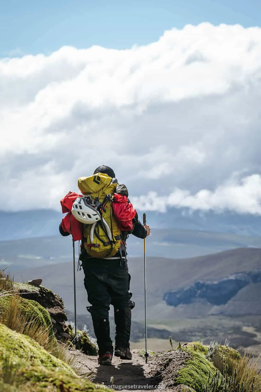
Leandro already with his eyes on the car at the start
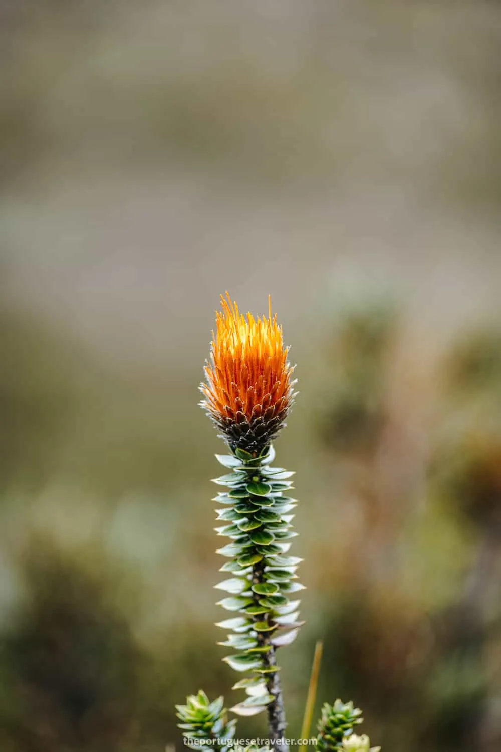
A Chuquiragua shot by Miguel on the way back
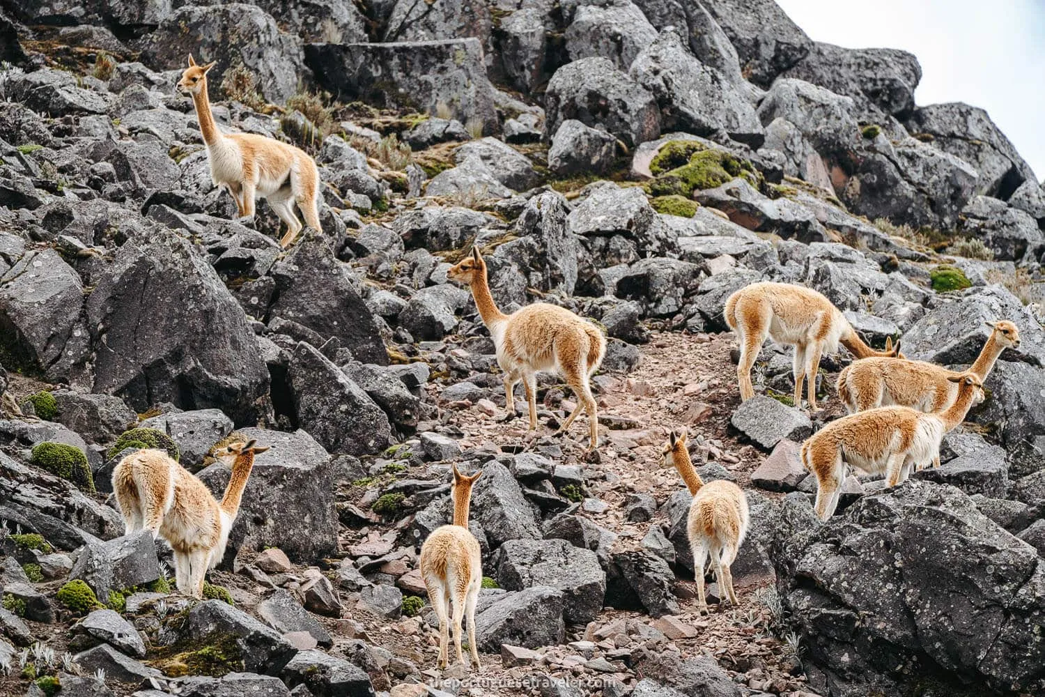
Dozens of vicuñas playing around the hills next by
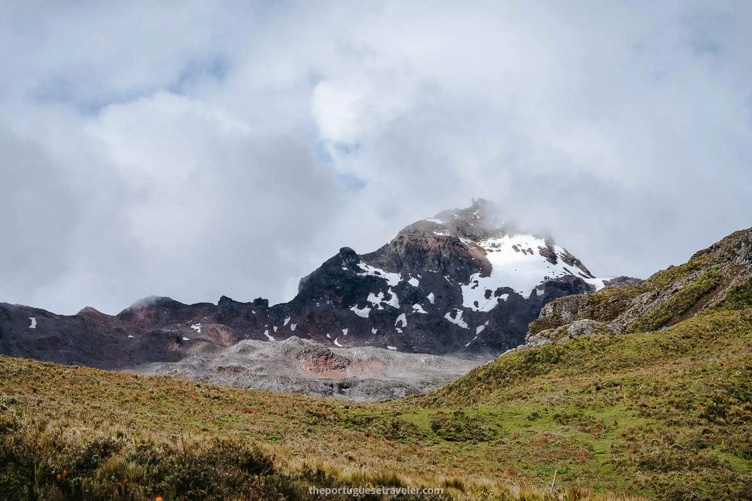
El Cari mostrándonos su dedo en la bajada
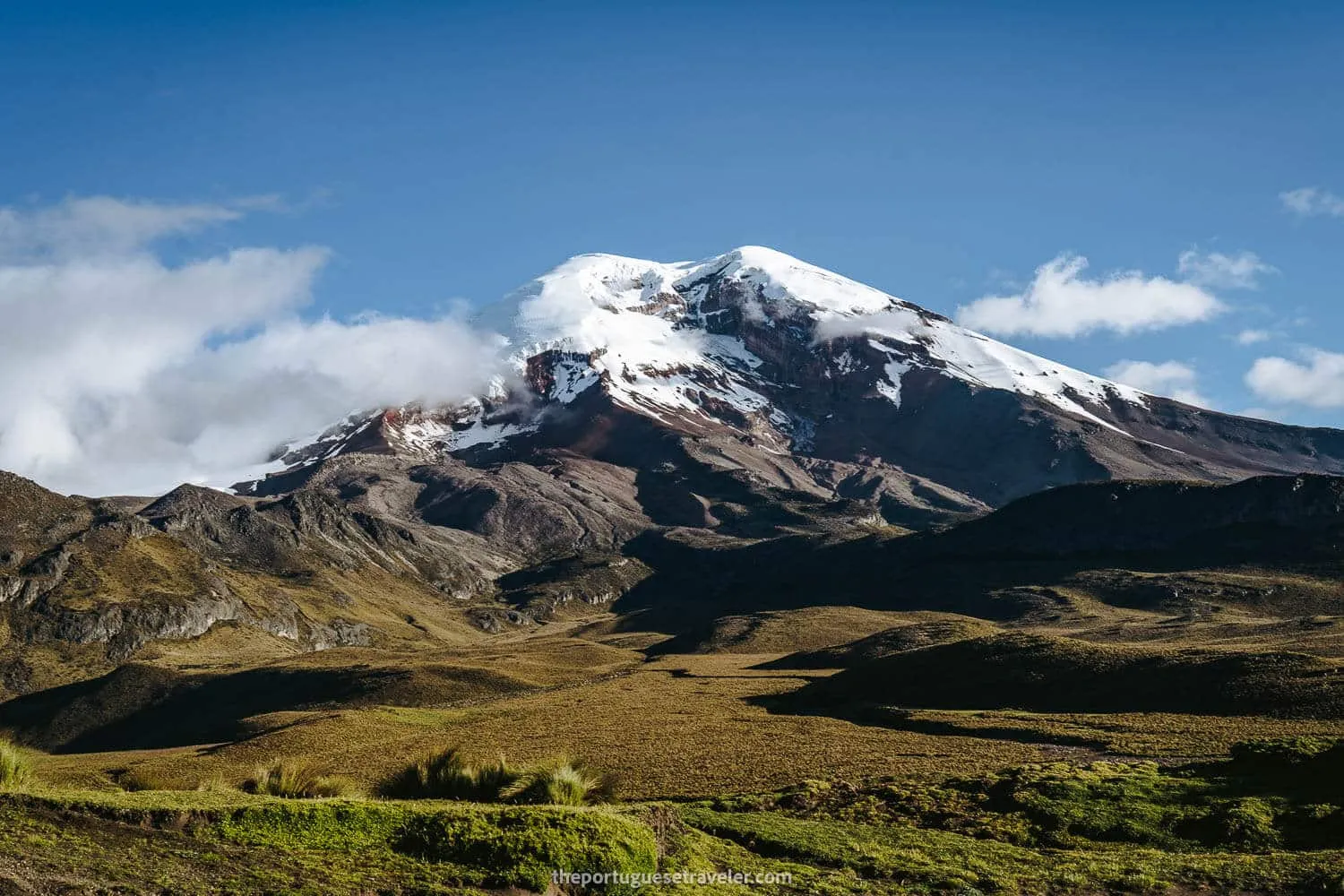
Chimborazo Volcano seen from the Carihuairazo’s Refuge
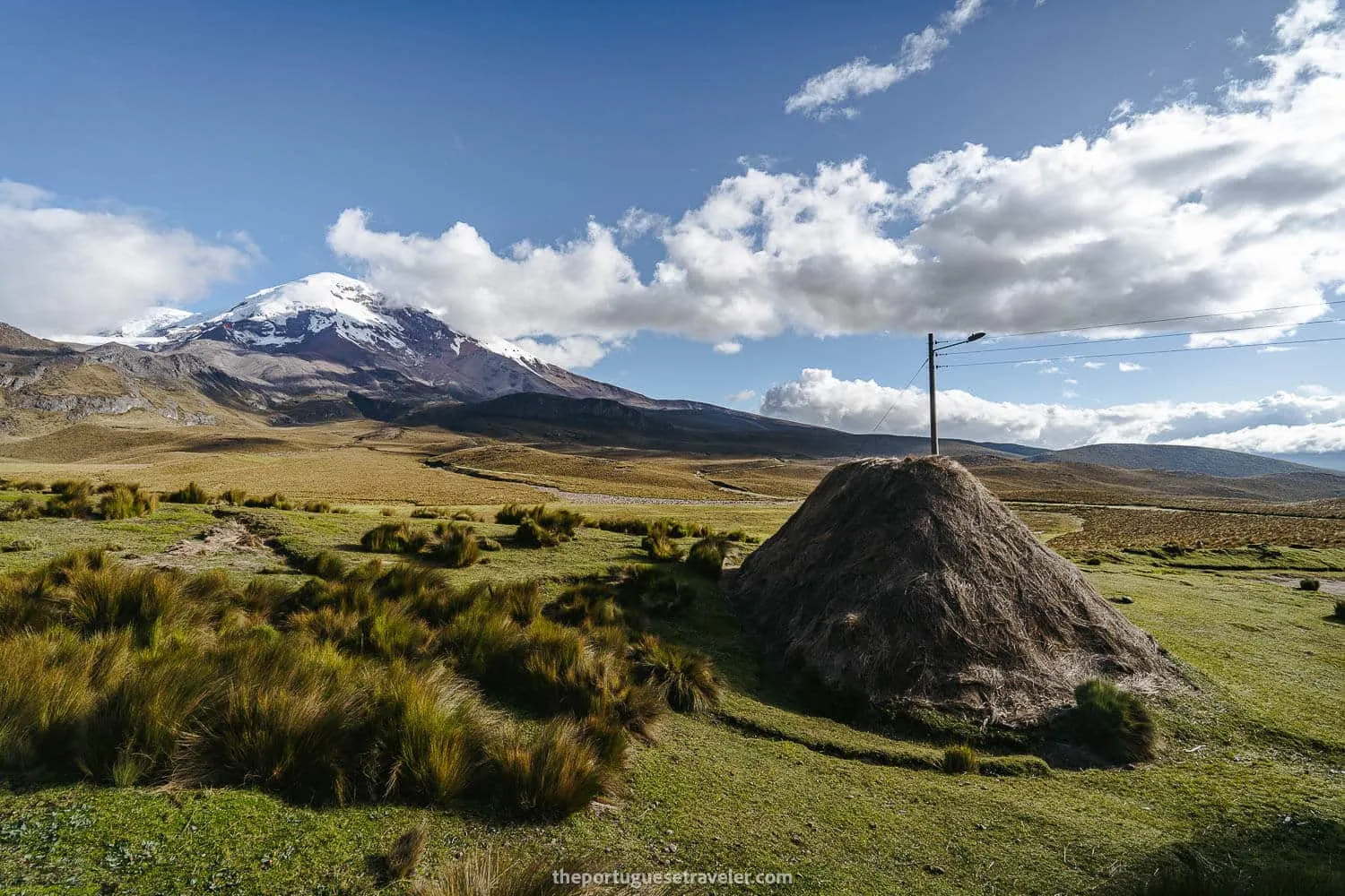
The Choza where we slept and Chimborazo
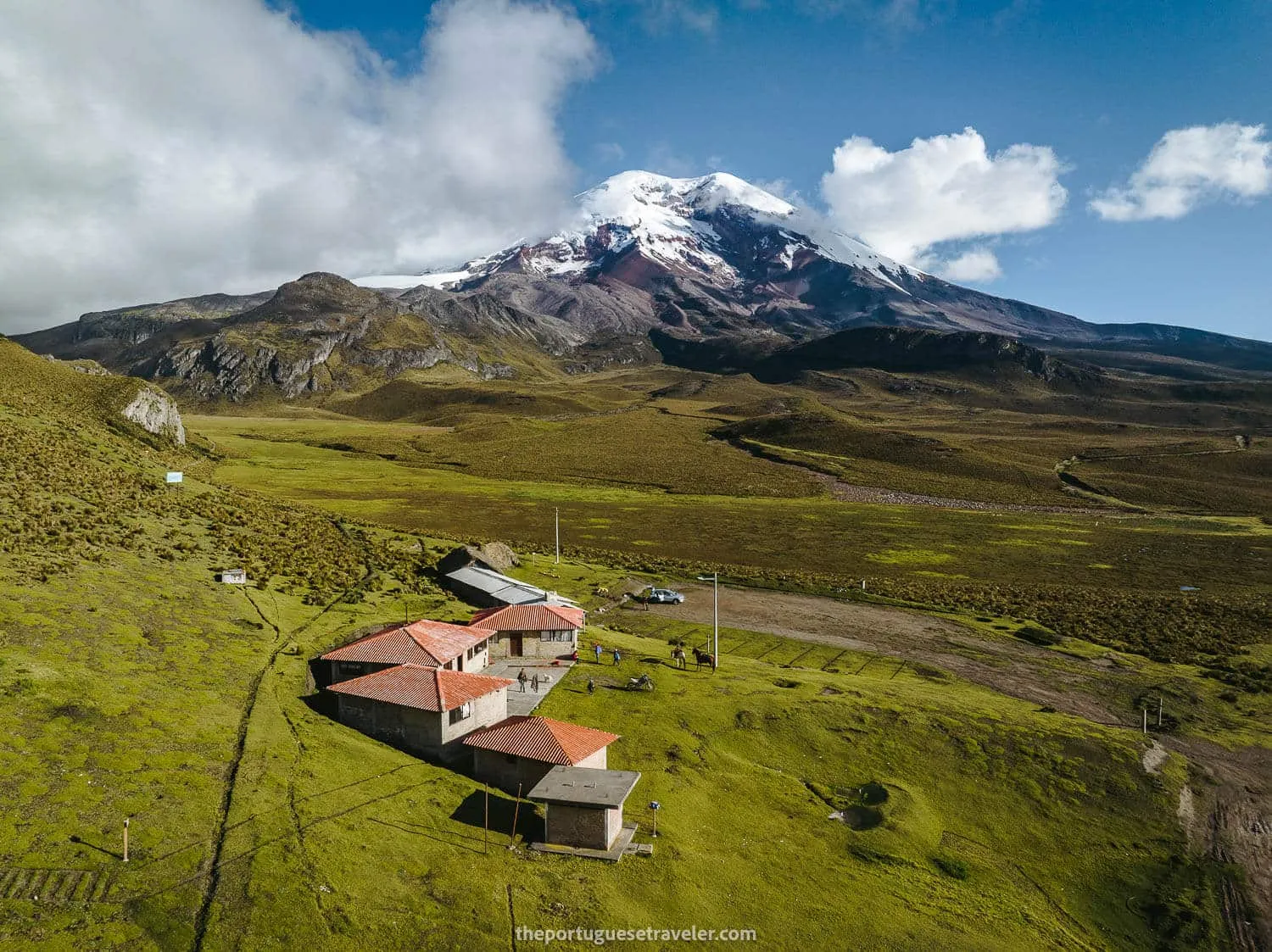
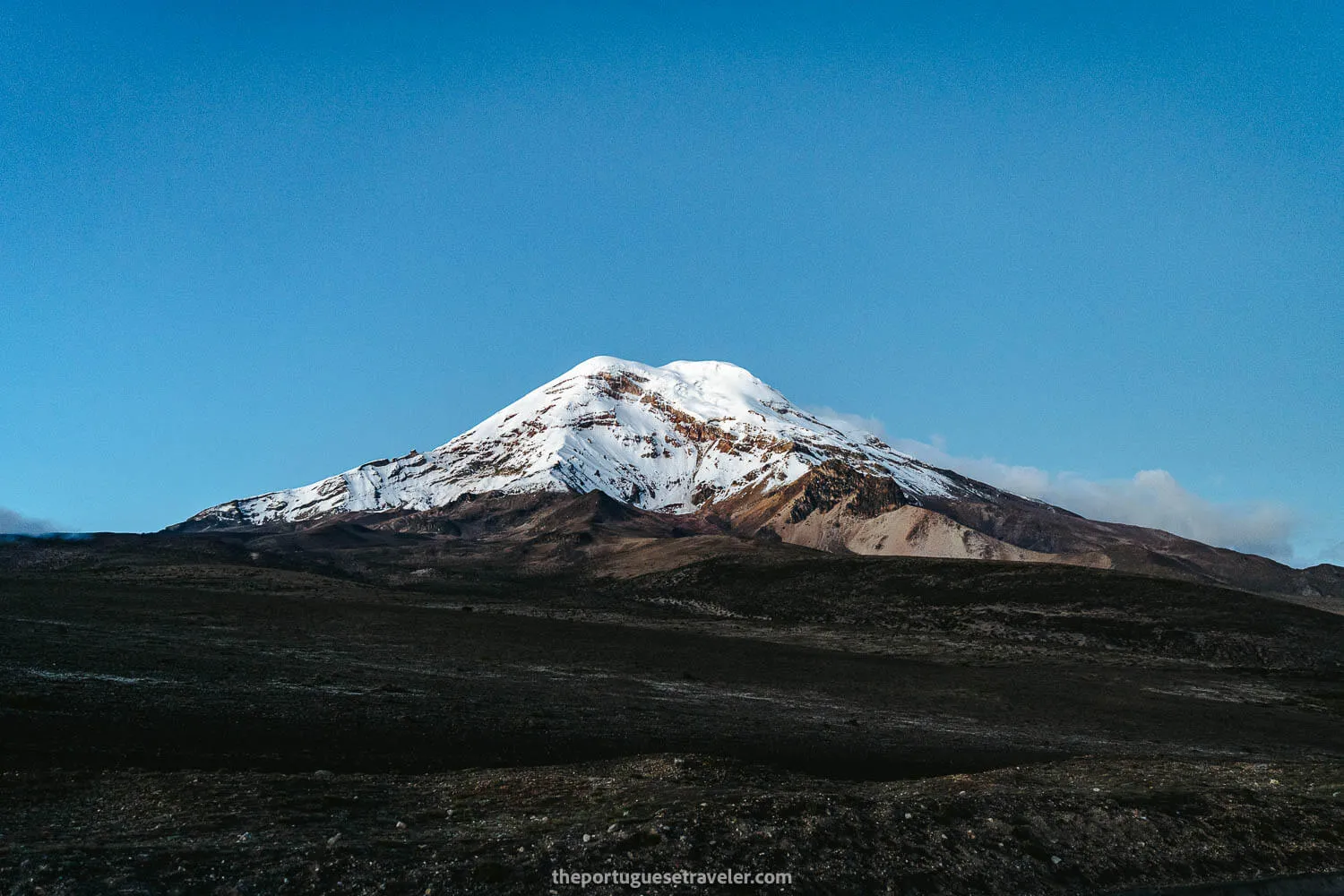
Carihuairazo’s Basecamp and Chimborazo Volcano
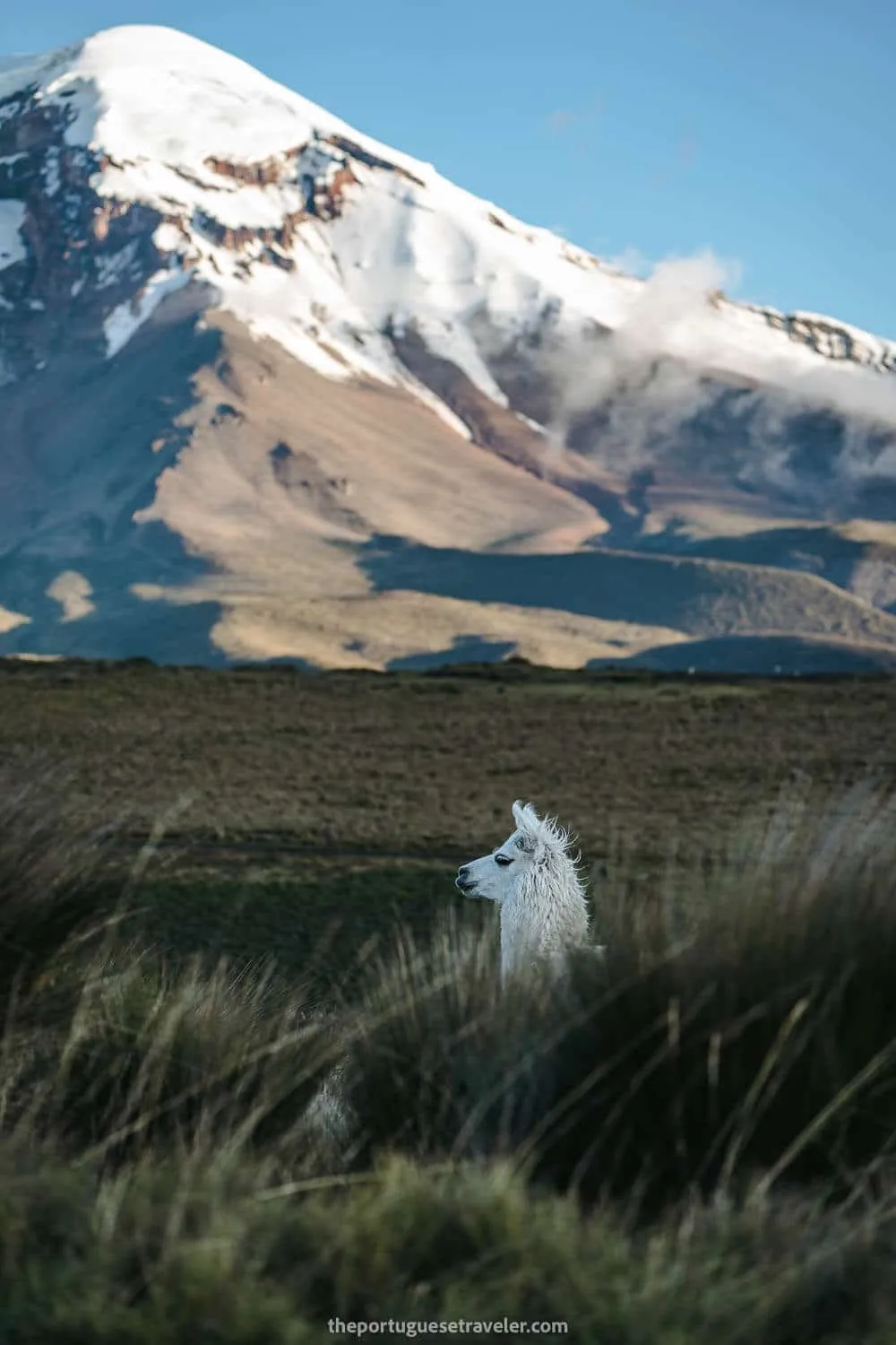
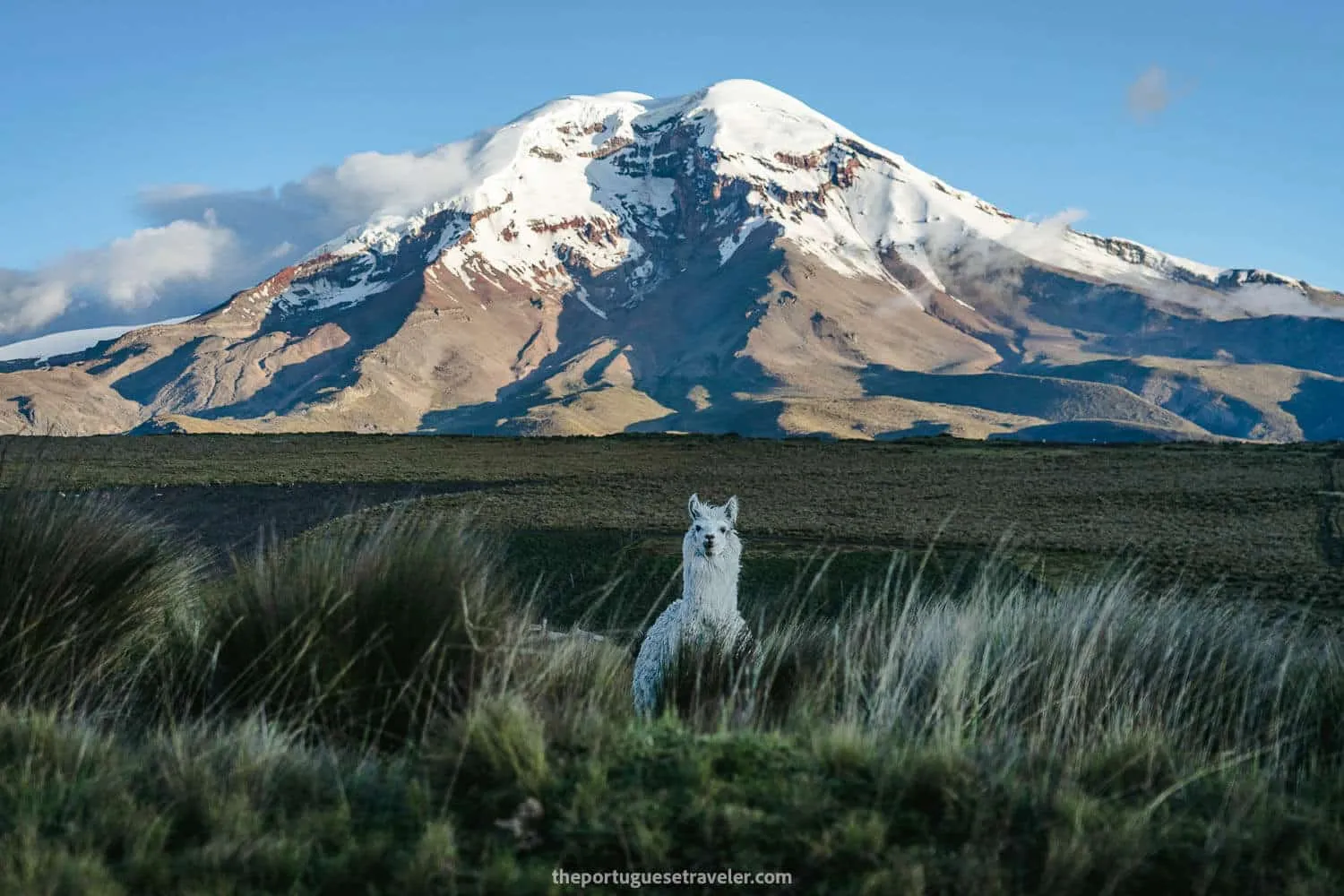
The white llama and the white volcano
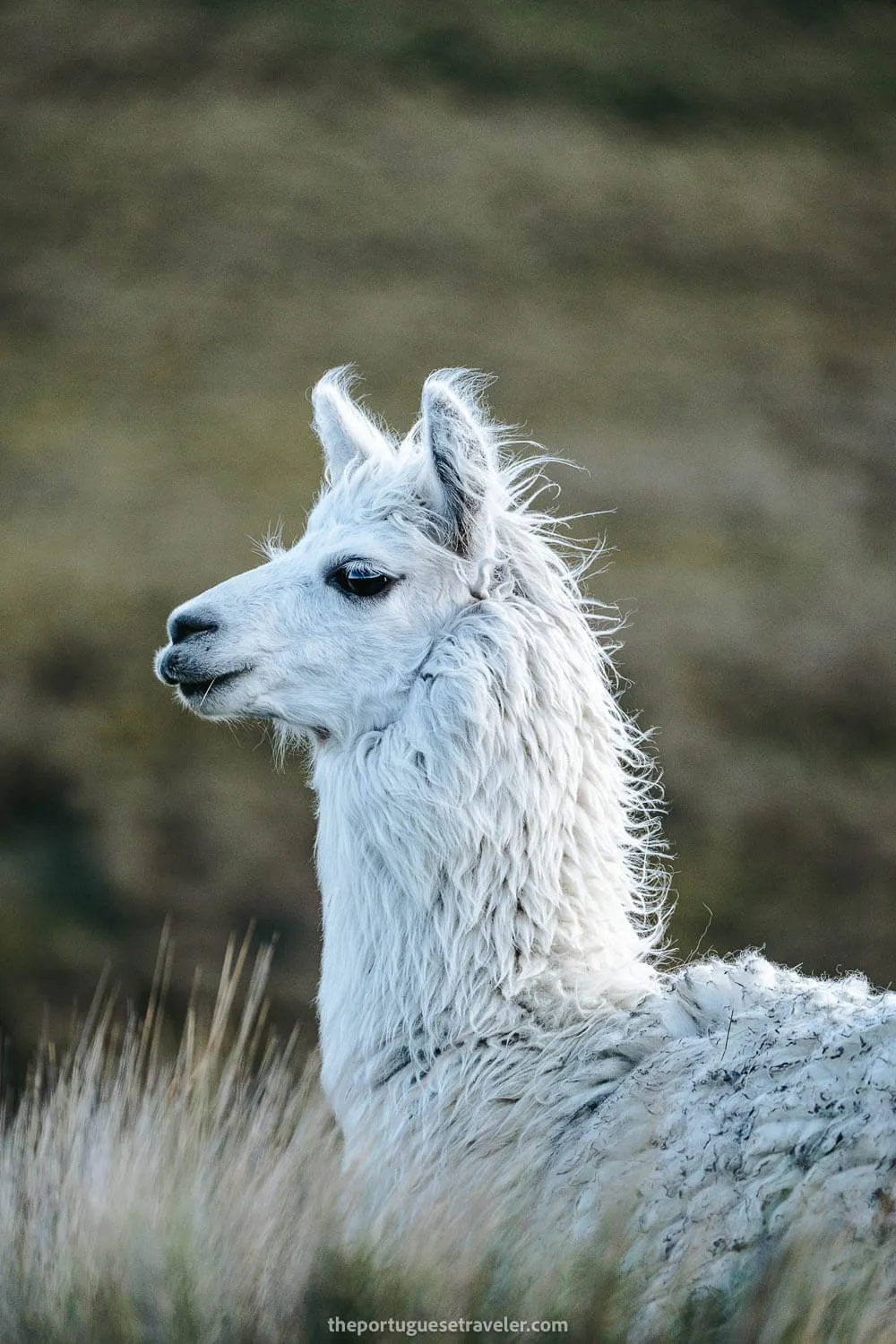
The white llama saying goodbye
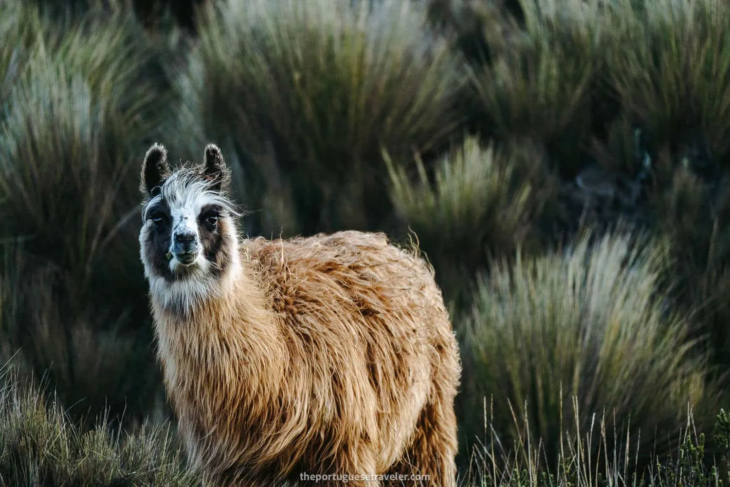
A Panda-llama looking at us too
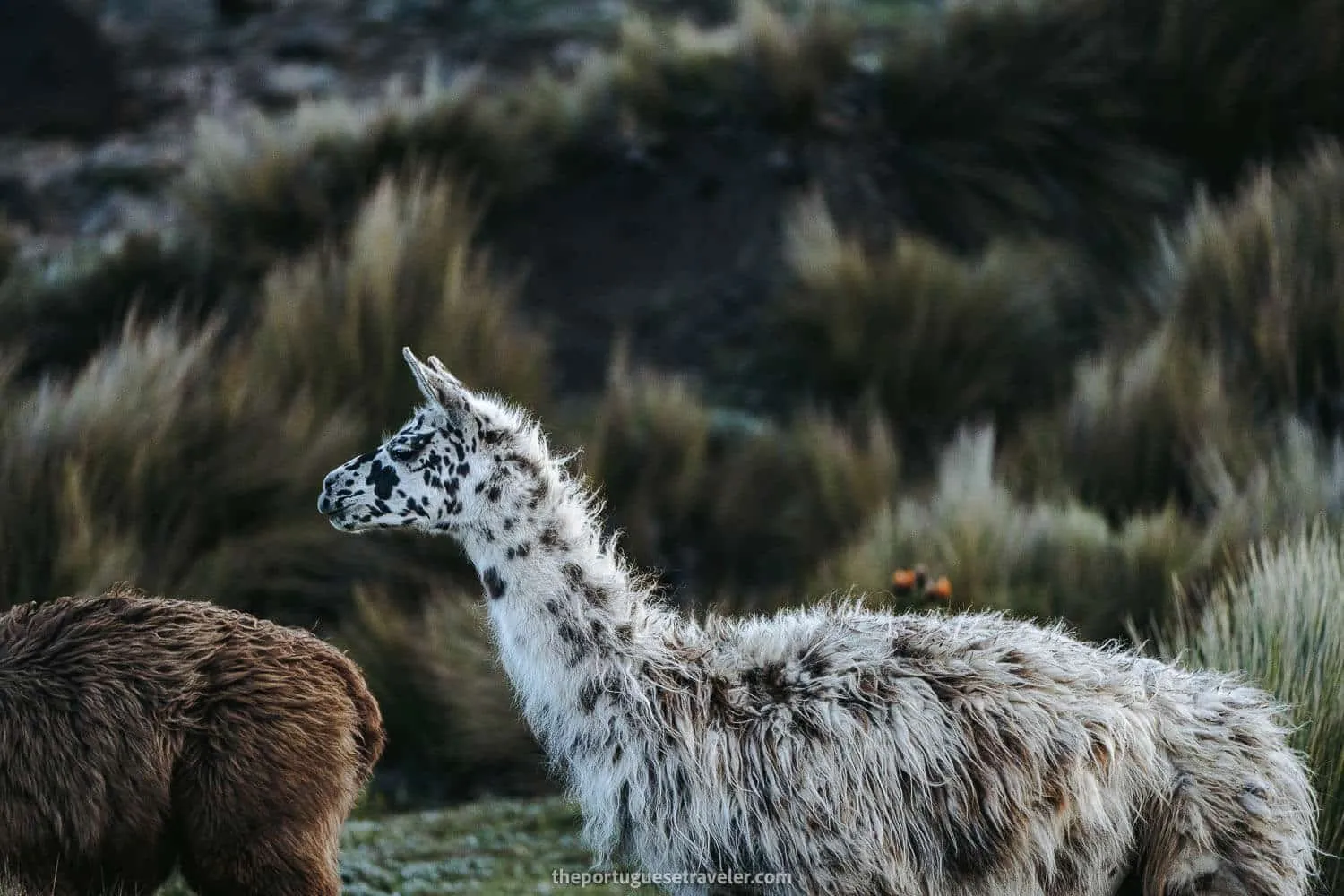
A Dalmata-llama
Finally, we arrived in Riobamba, where we enjoyed a meal together at a Mexican restaurant before setting off on our return journey to Quito.
Have you had the opportunity to climb Carihuairazo Volcano? Personally, I am eager to take on the challenge again in the future, hoping for better weather conditions. If you’ve conquered this magnificent peak, I would love to hear about your experience. Please share your thoughts and opinions in the comments below!
Thanks for reading through and I hope you have fun on this adventure. I will drop more of my favorite shots underneath, enjoy!
Photo Gallery
Hiking to the Carihuairazo Lagoon and Snow
The Snowy Carihuairazo Summit Push
Clear Skies while Returning to the Refuge
All the Articles About the Ecuador
Galapagos Islands - Experience the wonders of nature and unique wildlife in this pristine archipelago.
Amazon Rainforest - Immerse yourself in the lush greenery and rich biodiversity of the world’s largest tropical rainforest.
The Andes - Embark on an adventure in the Ecuadorian Andes, a majestic mountain range with diverse landscapes, ancient sites, and captivating wildlife.
In Partnership with Happy Gringo
Plan Your Trip — Free Quote
Want help planning your Galapagos & South America adventure? Happy Gringo, our trusted travel agency partner in Ecuador, will build a personalized itinerary with you — free of charge.
Request My Free Quote